


The Plains, VA
The Plains, VA 20198
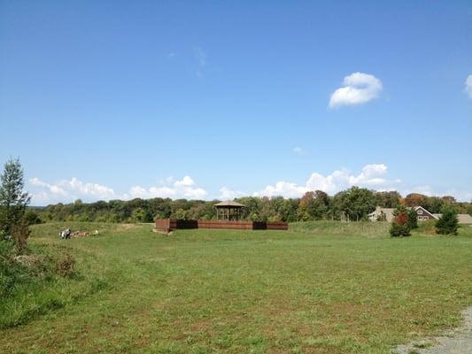
The Plains Map
The Plains is a town in Fauquier County, Virginia, United States. The population was 266 at the 2000 census. It is centered around Virginia Route 55 (John Marshall Highway) and Virginia Route 245 (Old Tavern Road). The mayor of The Plains is Robert Gurtler.
The Plains is located at 38°51?46?N 77°46?32?W / 38.86278°N 77.77556°W / 38.86278; -77.77556 (38.862698, -77.775464).
According to the United States Census Bureau, the town has a total area of 0.3 square miles (0.7 km²), all of it land.
Nearby cities include Gainesville, Warrenton, Stone Ridge, South Riding, Arcola.
Places in The Plains
Dine and drink
Eat and drink your way through town.


Can't-miss activities
Culture, natural beauty, and plain old fun.

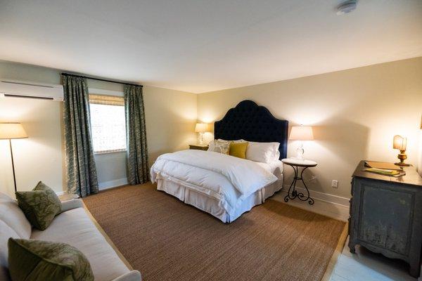
Places to stay
Hang your (vacation) hat in a place that’s just your style.


See a problem?