


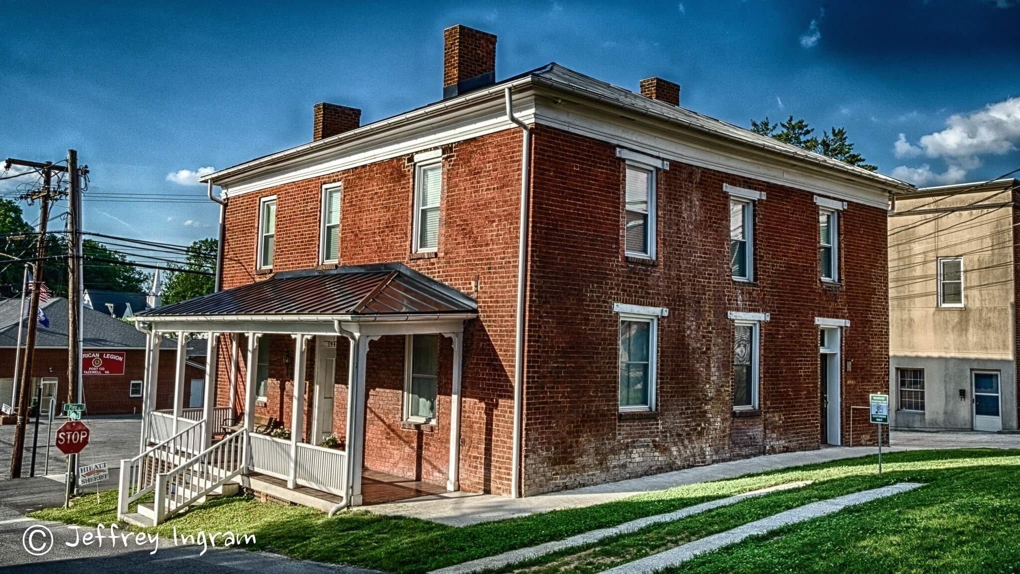
Tazewell, VA
Tazewell, VA 24651
Tazewell Map
Tazewell is a town in Tazewell County, Virginia, USA. The population was 4,206 at the 2000 census. It is part of the Bluefield, WV-VA micropolitan area, which has a population of 107,578. It is the county seat of Tazewell County.
Originally named Jeffersonville, Tazewell is situated near the headwaters of the Clinch River. It is one of the smallest towns in the United States to once own a street car.
Tazewell is located at 37°07?37?N 81°31?10?W / 37.126938°N 81.519455°W / 37.126938; -81.519455 (37.126938, -81.519455).
Nearby cities include Cedar Bluff, Richlands, War, Anawalt, Pocahontas.
Places in Tazewell
Dine and drink
Eat and drink your way through town.


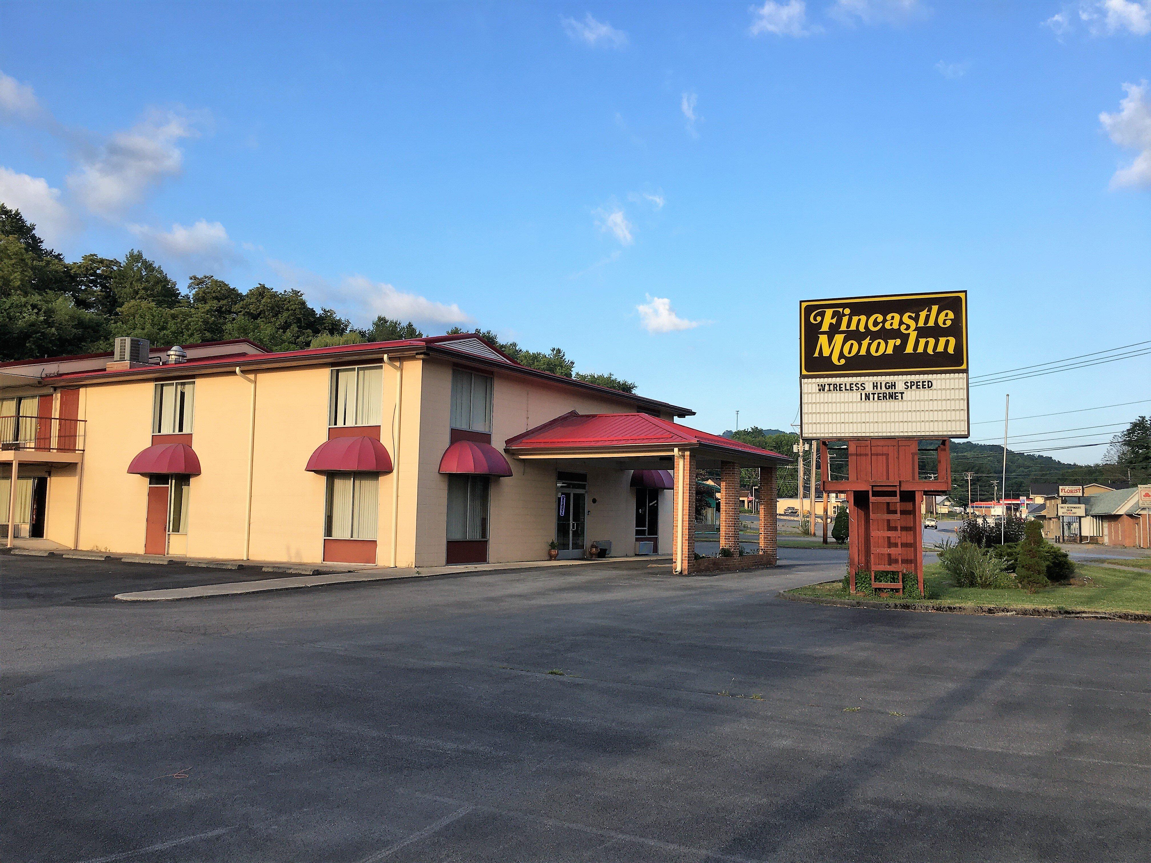
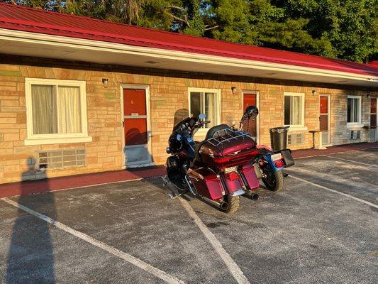
Places to stay
Hang your (vacation) hat in a place that’s just your style.

See a problem?