Sandston, VA
Sandston, VA Map
Sandston is a US city in Henrico County in the state of Virginia. Located at the longitude and latitude of -77.315800, 37.523600 and situated at an elevation of 51 meters. In the 2020 United States Census, Sandston, VA had a population of 7,779 people. Sandston is in the Eastern Standard Time timezone at Coordinated Universal Time (UTC) -5. Find directions to Sandston, VA, browse local businesses, landmarks, get current traffic estimates, road conditions, and more.
Sandston, Virginia, is a community with a rich historical backdrop, primarily known for its proximity to significant Civil War sites and its role in early 20th-century aviation history. The area is home to the Richmond International Airport, which serves as a gateway to the region and highlights Sandston's historical connection to aviation. The community was originally developed as a residential area for workers at the nearby defense plants during World War I, and it retains a charm that reflects its early 20th-century roots.
Visitors to Sandston can explore the nearby Seven Pines National Cemetery, a somber reminder of the area's Civil War history, offering a peaceful and reflective experience. For those interested in more modern leisure activities, the White Oak Village shopping center provides a variety of retail and dining options. Sandston's location also makes it a convenient base for exploring the broader historical and cultural attractions of the Greater Richmond area. Despite its small size, Sandston offers a unique blend of historical significance and contemporary amenities.
Nearby cities include: Fort Lee, VA, Richmond, VA, Mechanicsville, VA, Meadowbrook, VA, Enon, VA, Laurel, VA, Glen Allen, VA, Chester, VA, Tuckahoe, VA, Hopewell, VA.
Places in Sandston
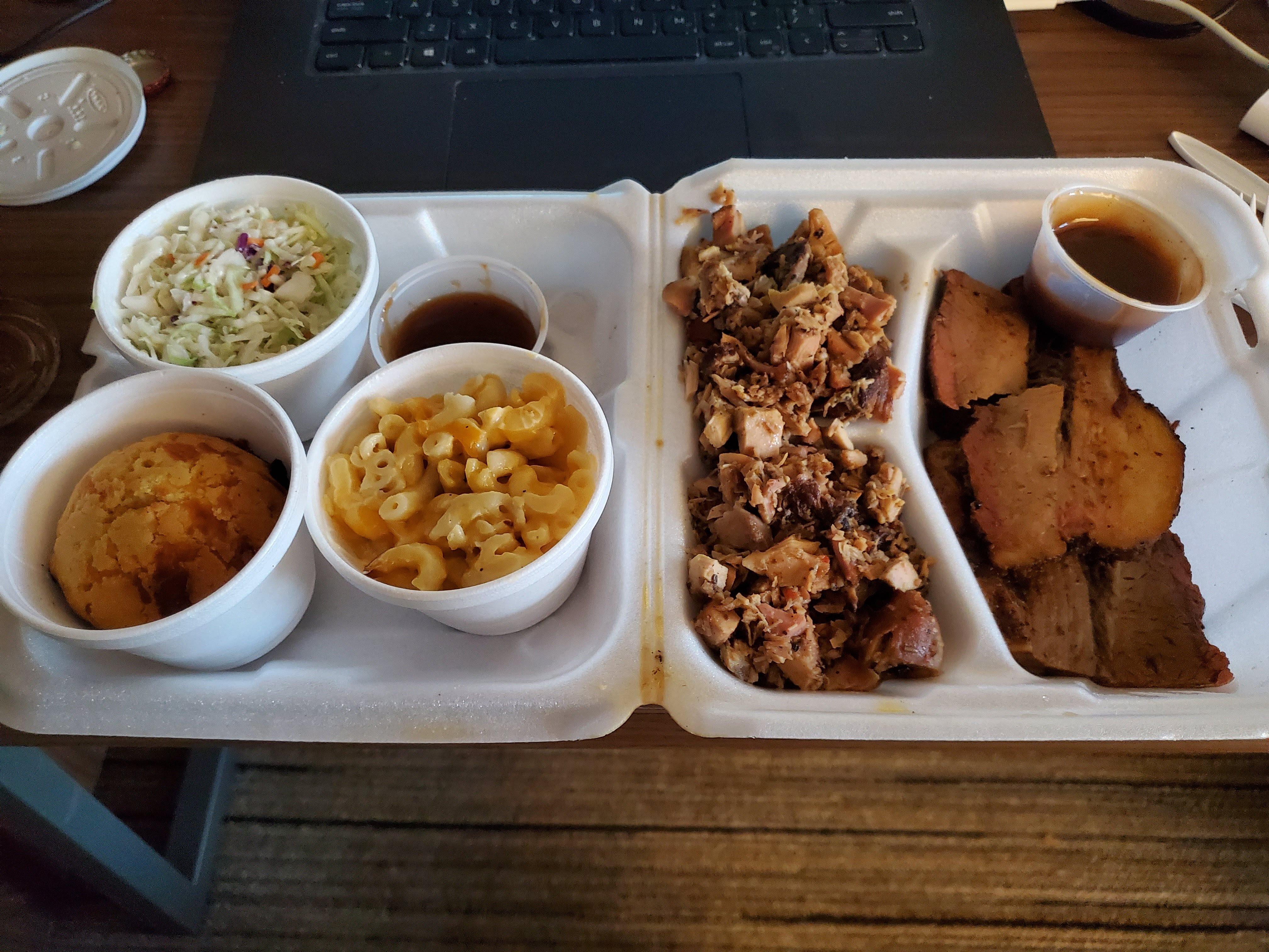
Dine and drink
Eat and drink your way through town.


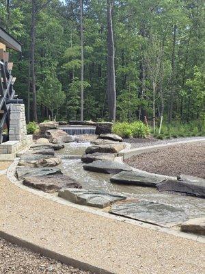
Can't-miss activities
Culture, natural beauty, and plain old fun.

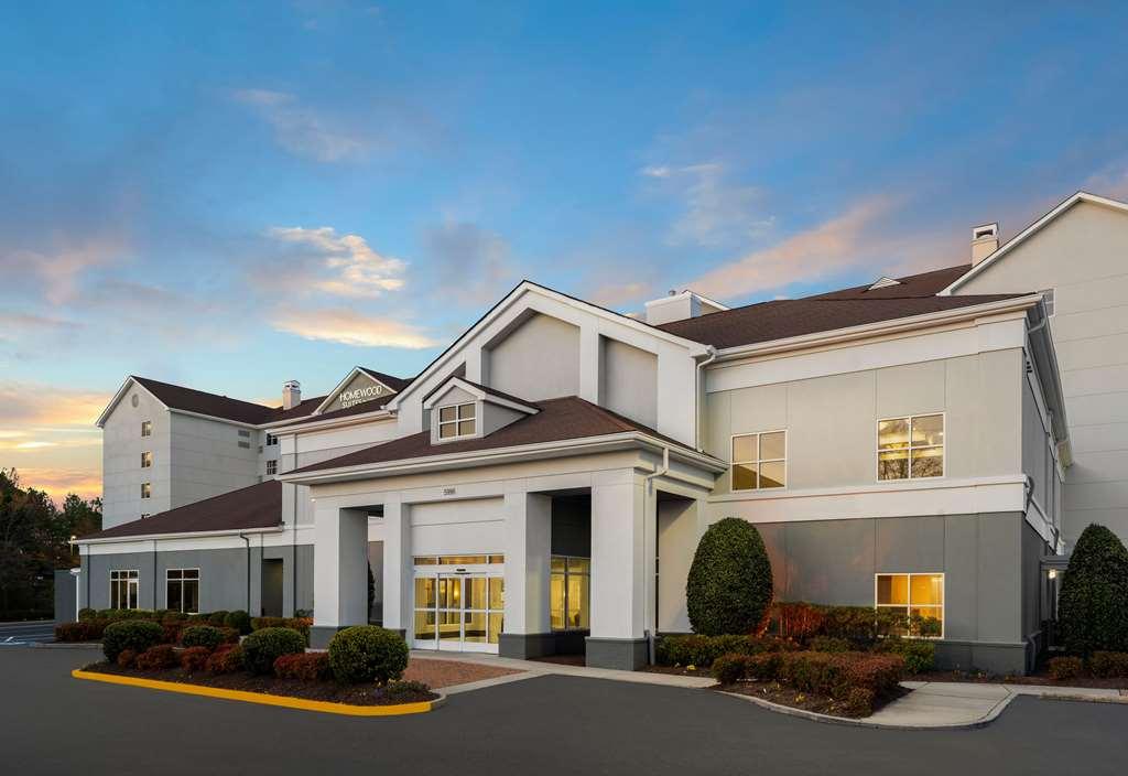
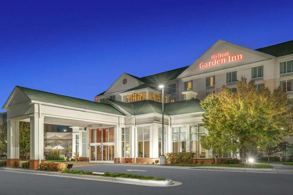
Places to stay
Hang your (vacation) hat in a place that’s just your style.