Jarratt, VA
Jarratt, VA Map
Jarratt is a US city in Greensville County in the state of Virginia. Located at the longitude and latitude of -77.469700, 36.815800 and situated at an elevation of 46 meters. In the 2020 United States Census, Jarratt, VA had a population of 652 people. Jarratt is in the Eastern Standard Time timezone at Coordinated Universal Time (UTC) -5. Find directions to Jarratt, VA, browse local businesses, landmarks, get current traffic estimates, road conditions, and more.
Jarratt, Virginia, is a small yet historically rich town best known for its charming rural atmosphere and its significance as a former railroad hub. The town's history is deeply connected to the development of the Atlantic Coast Line Railroad, which played a crucial role in its establishment and growth. While Jarratt may not boast an extensive list of attractions, its serene environment and close-knit community offer a glimpse into the quintessential Southern lifestyle.
Visitors to Jarratt can explore the town's quaint streets and enjoy the peaceful surroundings. A notable point of interest is the Jarratt Volunteer Fire Department, which, beyond its practical role, stands as a testament to the community spirit prevalent in the area. History enthusiasts might appreciate the nearby historical markers that provide insights into the region's past. While Jarratt is not a bustling metropolis, its charm lies in its simplicity and the hospitality of its residents, making it a reflective stop for those interested in the quieter side of Virginia.
Nearby cities include: Emporia, VA, Stony Creek, VA, Capron, VA, McKenney, VA, Dinwiddie, VA, Warfield, VA, Branchville, VA, Lawrenceville, VA, Boykins, VA, Seaboard, NC.
Places in Jarratt
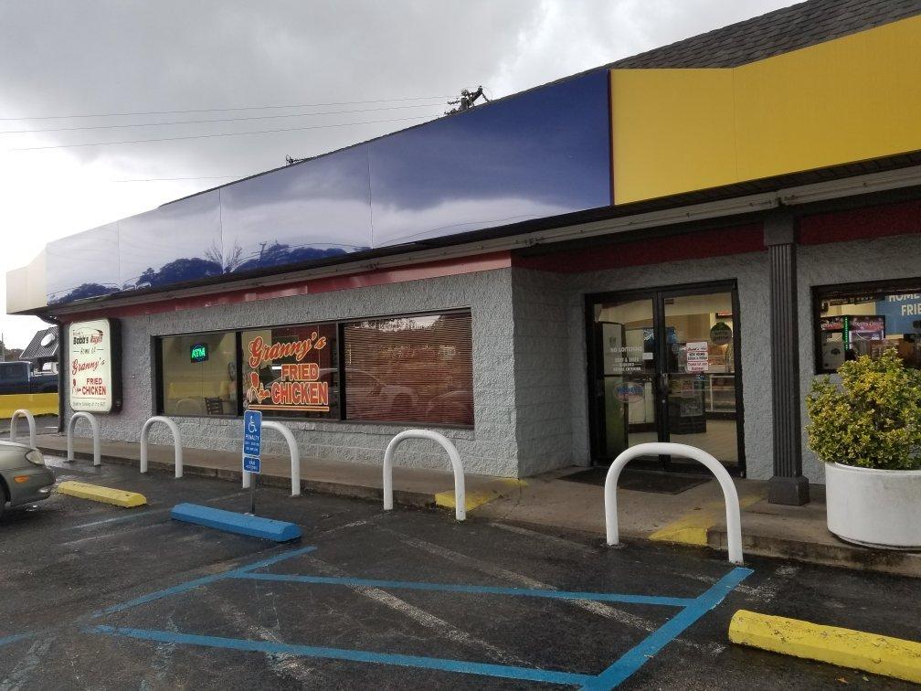
Dine and drink
Eat and drink your way through town.


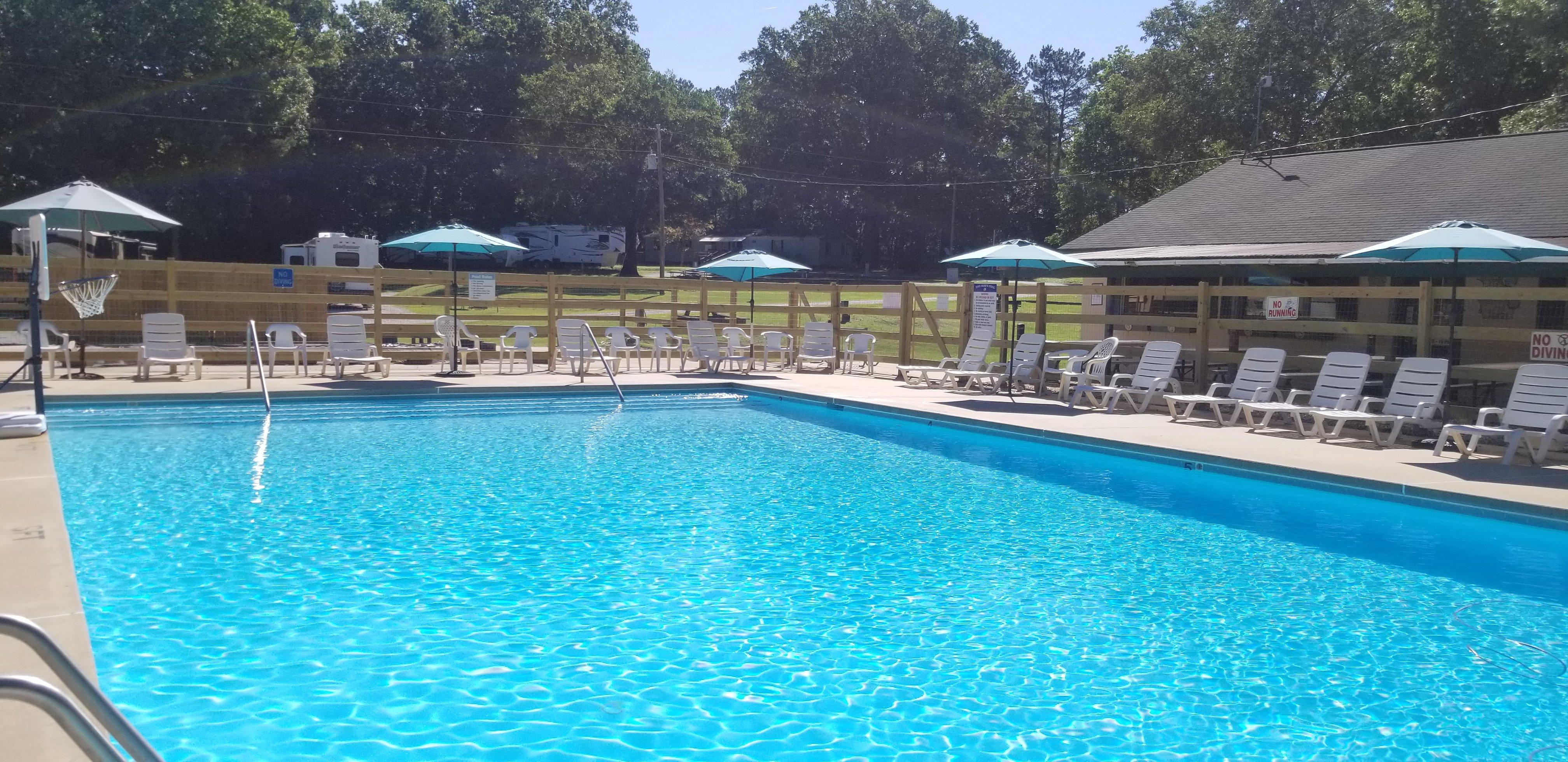
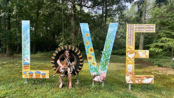
Can't-miss activities
Culture, natural beauty, and plain old fun.


Places to stay
Hang your (vacation) hat in a place that’s just your style.