


Ewing, VA
Ewing, VA 24248
Ewing Map
Ewing is a census-designated place (CDP) in Lee County, Virginia, United States. The population was 436 at the 2000 census. Ewing is one of the westernmost settlements in the state of Virginia, before reaching the Cumberland Gap, and the borders with Kentucky and Tennessee.
Ewing is located at 36°38?27?N 83°25?55?W / 36.64083°N 83.43194°W / 36.64083; -83.43194 (36.640738, -83.431908).
According to the United States Census Bureau, the CDP has a total area of 3.9 square miles (10.0 km²), all of it land.
Nearby cities include Harrogate, Wallins Creek, Cumberland Gap, Sneedville, Tazewell.
Places in Ewing
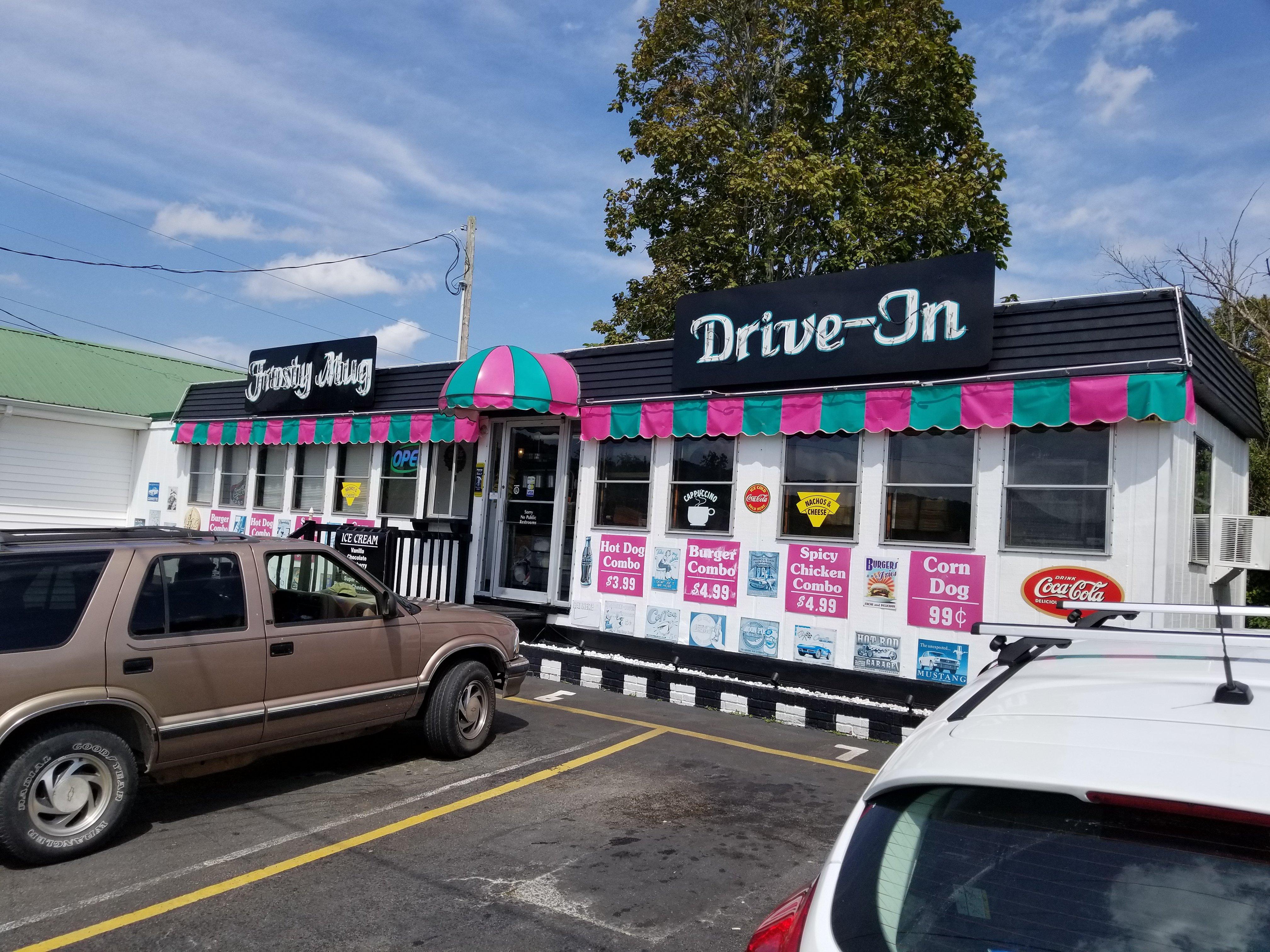
Dine and drink
Eat and drink your way through town.


Can't-miss activities
Culture, natural beauty, and plain old fun.


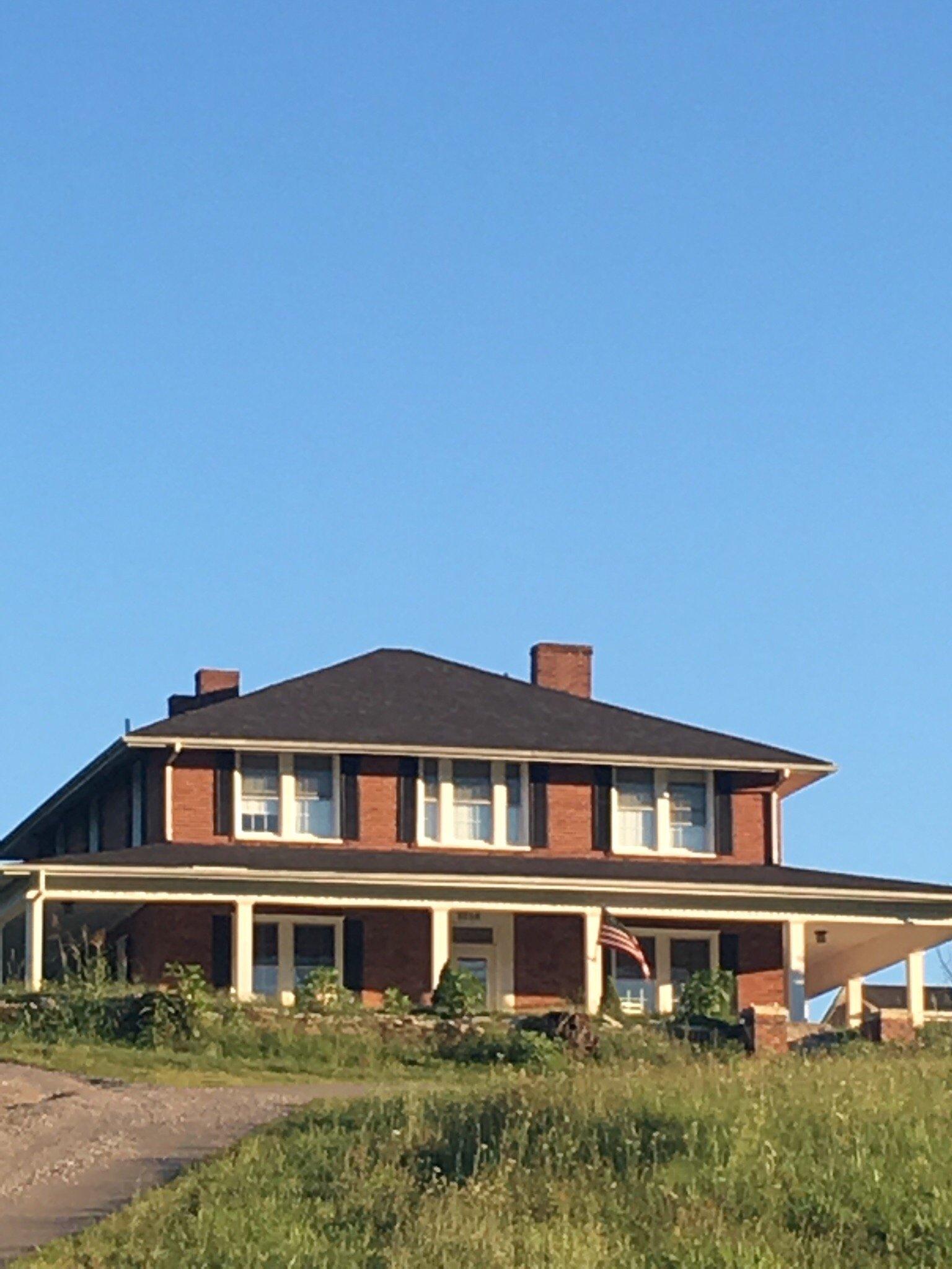
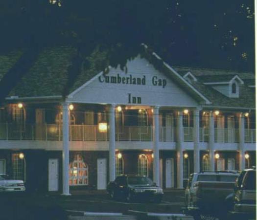
Places to stay
Hang your (vacation) hat in a place that’s just your style.


See a problem?