Oakley, UT
Oakley Map
Oakley is a city in Summit County, Utah, United States. It is part of the Salt Lake City, Utah Metropolitan Statistical Area. The population was 948 at the 2000 census.
Oakley is located at 40°43?7?N 111°17?16?W / 40.71861°N 111.28778°W / 40.71861; -111.28778 (40.718595, -111.287863).
It is located 45 miles east of Salt Lake City on SR-32, in the Kamas Valley. With an elevation of 6500', it is a gateway to the Uinta Mountains. Scenic route Weber Canyon Road follows the Weber River to its headwaters; it also follows the Smith and Morehouse Creek to its reservoir in its own scenic canyon 15 miles from Oakley. The towns of Marion, Kamas, and Peoa are its neighbors, and the Weber River flows nearby.
Places in Oakley
Dine and drink
Eat and drink your way through town.


Can't-miss activities
Culture, natural beauty, and plain old fun.


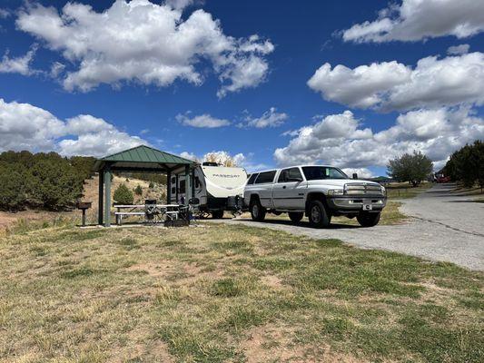

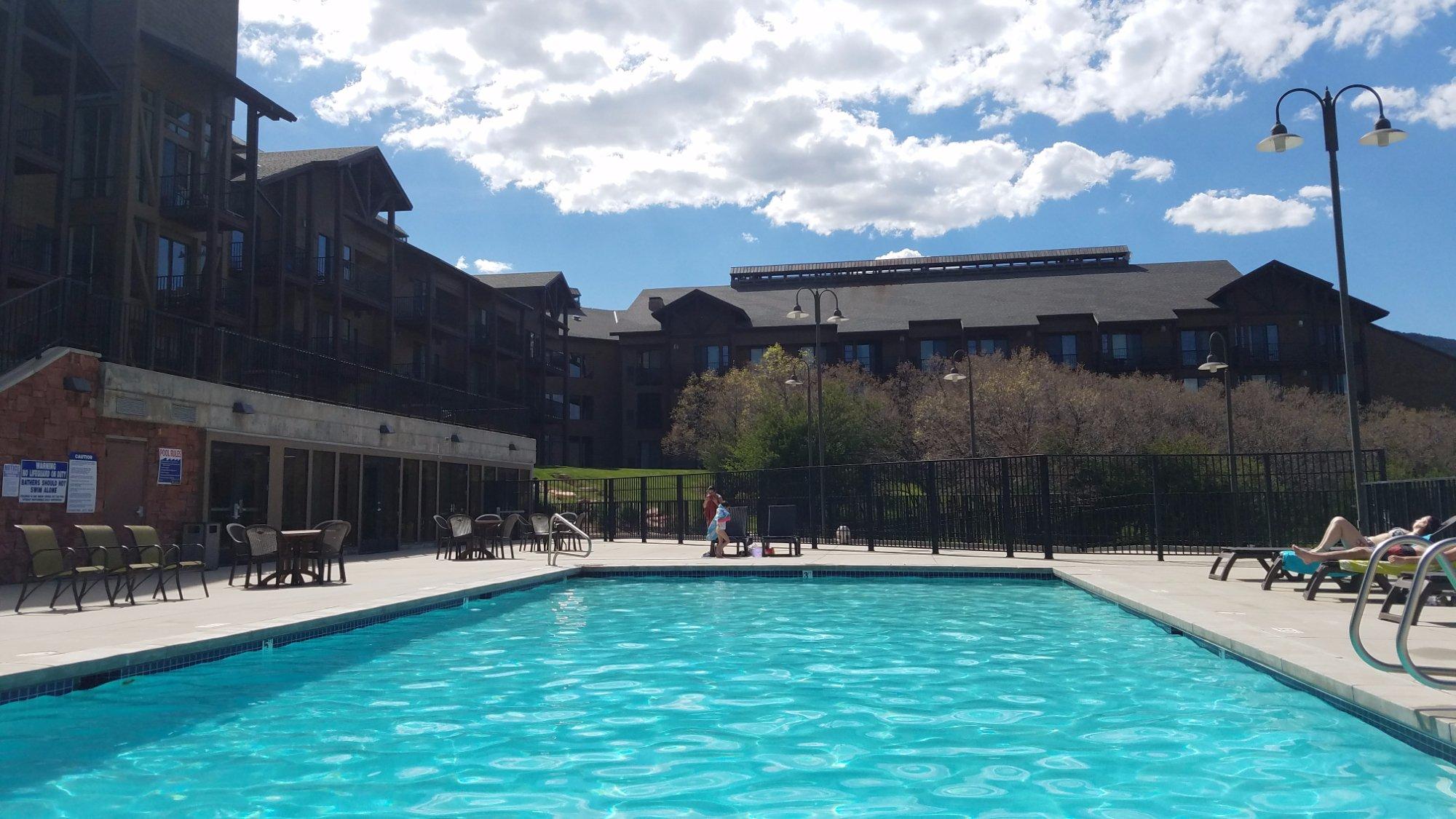
Places to stay
Hang your (vacation) hat in a place that’s just your style.