Layton, UT
Layton, UT Map
Layton is a US city in Davis County in the state of Utah. Located at the longitude and latitude of -111.955278, 41.078056 and situated at an elevation of 1,326 meters. In the 2020 United States Census, Layton, UT had a population of 81,773 people. Layton is in the Mountain Standard Time timezone at Coordinated Universal Time (UTC) -7. Find directions to Layton, UT, browse local businesses, landmarks, get current traffic estimates, road conditions, and more.
Layton, Utah, is a vibrant city known for its family-friendly atmosphere and proximity to outdoor recreational activities. The city boasts a rich history, having developed significantly after World War II, primarily due to its location near Hill Air Force Base, which continues to play a crucial role in its economy. Layton is well-regarded for its excellent parks and trails, with the Layton Commons Park being a central hub for community events and leisurely activities. For those interested in shopping and dining, Layton Hills Mall offers a wide range of options, making it a popular destination for both locals and visitors.
In addition to its recreational and commercial attractions, Layton is home to the Ed Kenley Amphitheater, which hosts a variety of concerts and performances, enriching the cultural landscape of the city. The Great Salt Lake Shorelands Preserve offers nature enthusiasts a chance to explore diverse ecosystems and observe local wildlife. Layton's blend of historical significance, community-focused amenities, and natural beauty makes it a noteworthy destination in northern Utah.
Nearby cities include: Kaysville, UT, South Weber, UT, Clearfield, UT, Fruit Heights, UT, Uintah, UT, Syracuse, UT, Sunset, UT, Washington Terrace, UT, Clinton, UT, South Ogden, UT.
Places in Layton
Dine and drink
Eat and drink your way through town.


Can't-miss activities
Culture, natural beauty, and plain old fun.


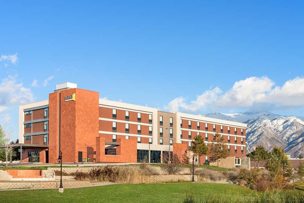
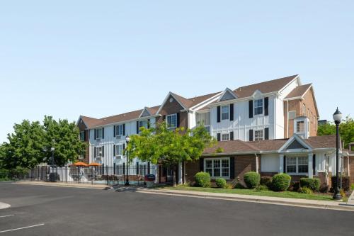
Places to stay
Hang your (vacation) hat in a place that’s just your style.