


Huntington, UT
Huntington, UT 84528
Huntington Map
Huntington is a town in Emery County, Utah, United States. The population was 2,131 at the 2000 census. It is the largest town in Emery County.
Huntington is located at 39°19?45?N 110°57?57?W / 39.32917°N 110.96583°W / 39.32917; -110.96583 (39.329259, -110.965929) in northwestern Emery County near the mouth of a long canyon that cuts diagonally into the Wasatch Plateau. The town is bisected by the Huntington Creek.
According to the United States Census Bureau, the town has a total area of 2.0 square miles (5.3 km²), all of it land.
Nearby cities include Ferron, Wellington, Cleveland, Orangeville, Castle Dale.
Places in Huntington


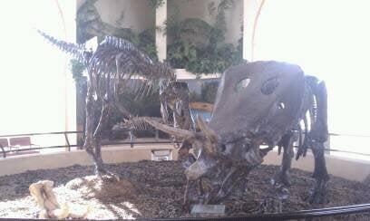
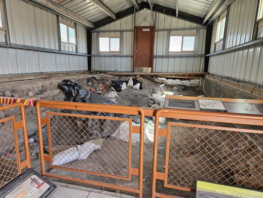
Can't-miss activities
Culture, natural beauty, and plain old fun.
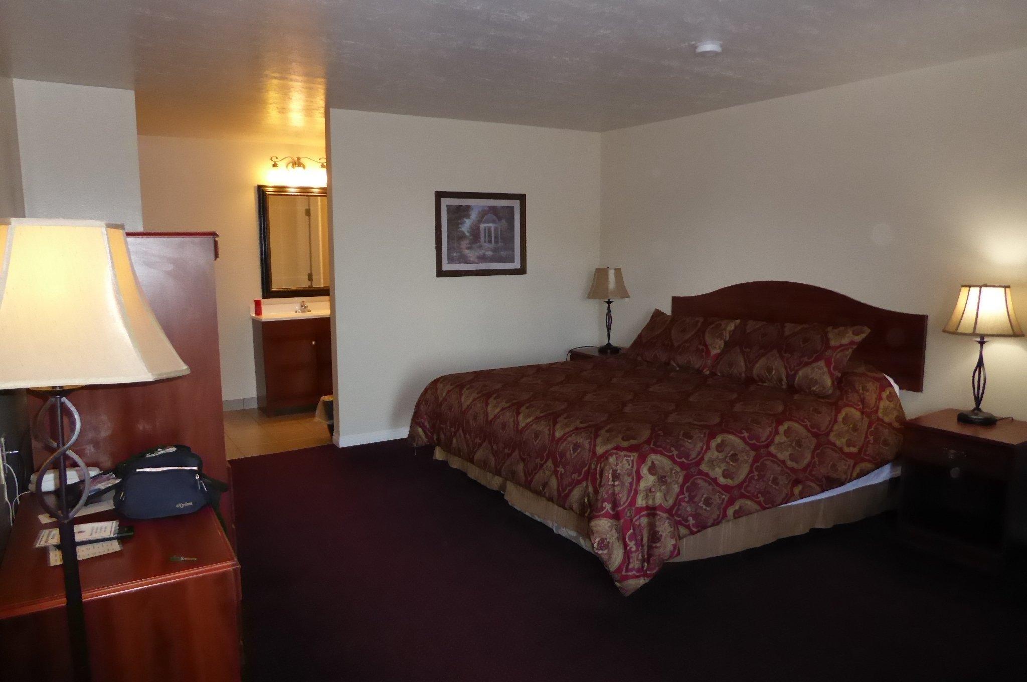
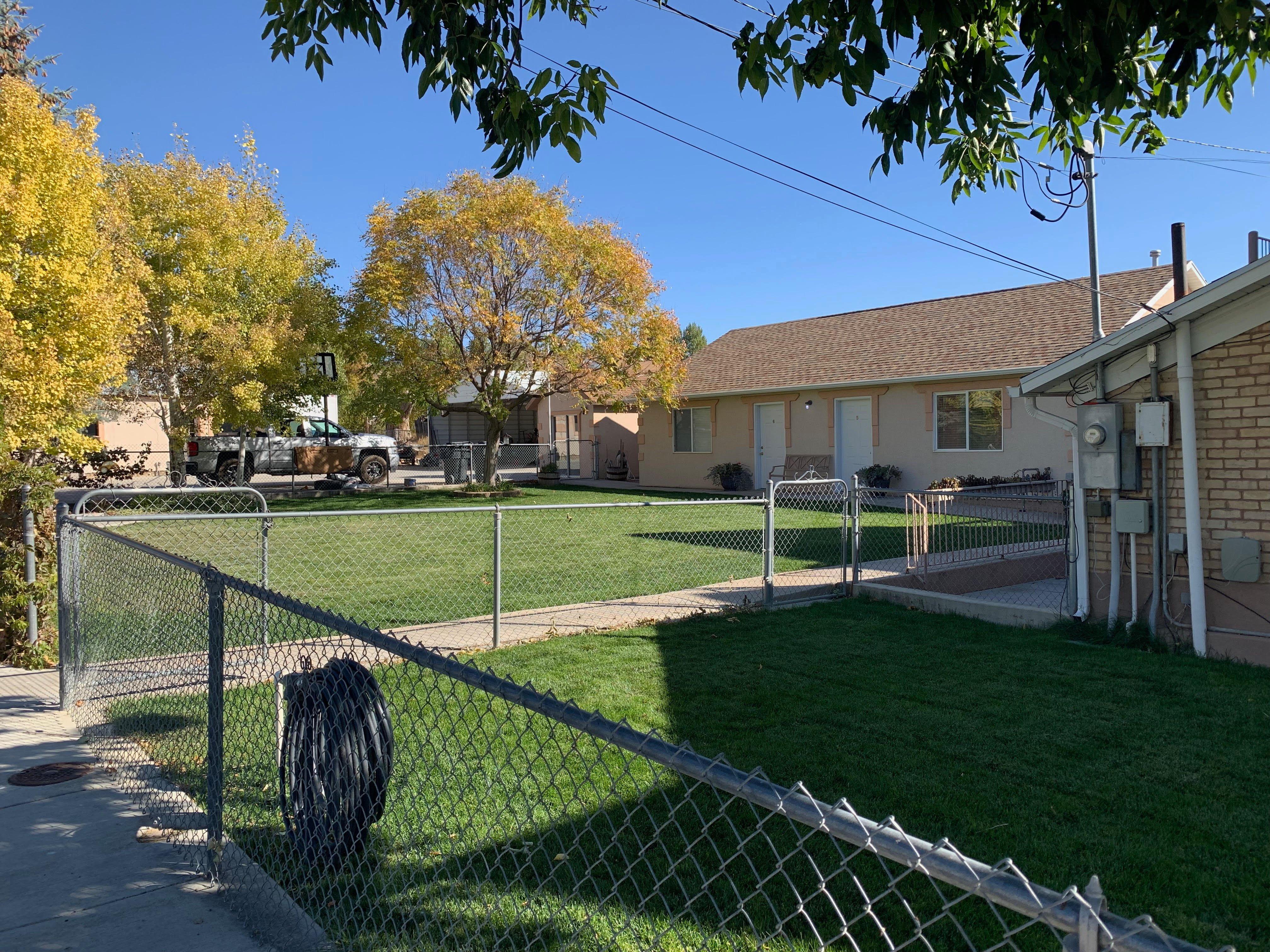
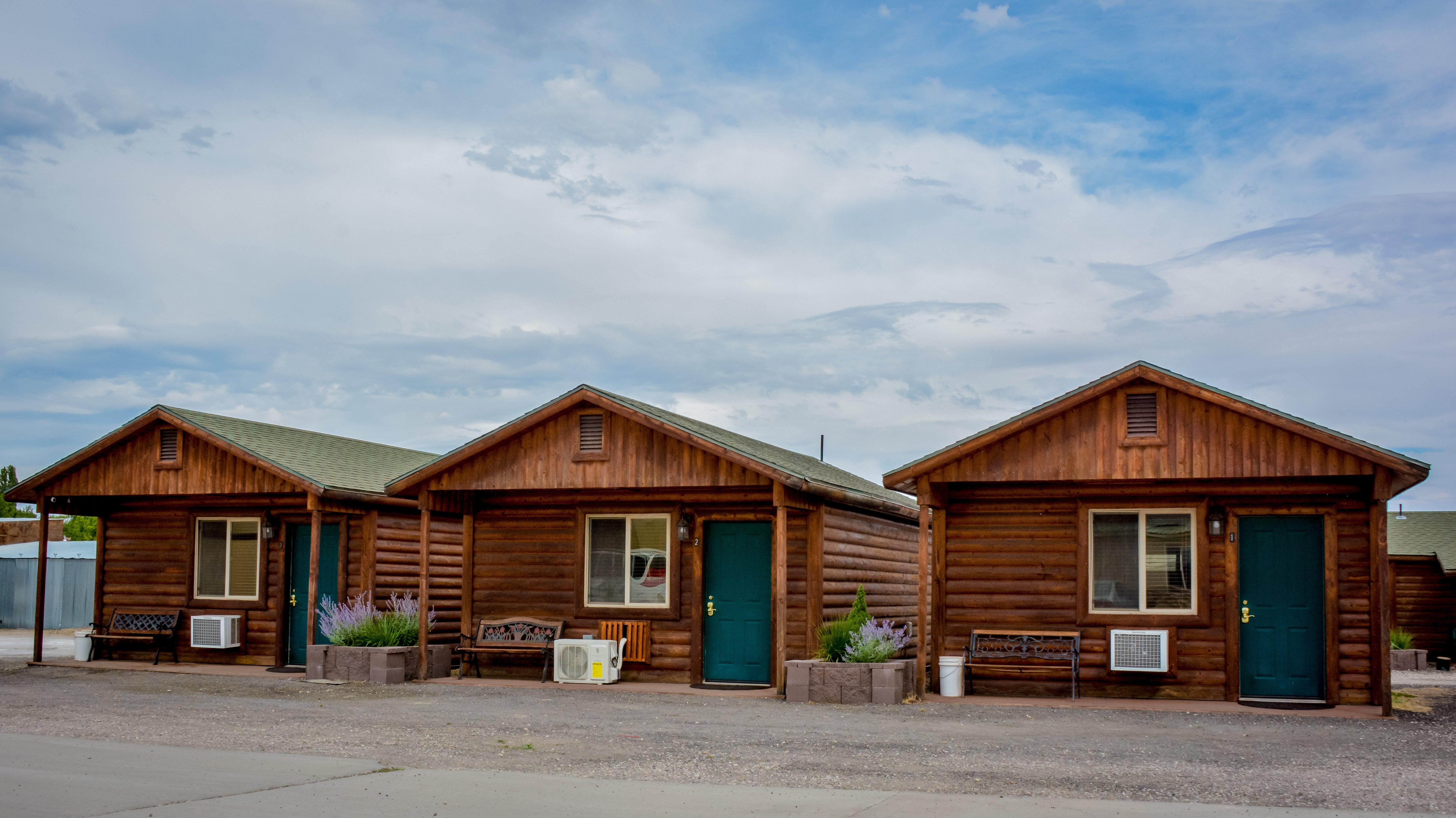
Places to stay
Hang your (vacation) hat in a place that’s just your style.

See a problem?