Cleveland, UT
Cleveland Map
Cleveland is a town in Emery County, Utah, in the United States. As of the 2000 census, the town population was 508.
Cleveland is located at 39°20?53?N 110°51?19?W / 39.34806°N 110.85528°W / 39.34806; -110.85528 (39.347921, -110.855178).
According to the United States Census Bureau, the town has a total area of 0.9 square miles (2.3 km²), all of it land. Cleveland is a beautiful place located in a swale of land between the mountains and the desert. It embraces about 480 acres (1.9 km2) and is 7 miles (11 km) northeast of Huntington, 18 miles (29 km) southwest of Price, and 17 miles (27 km) northeast of Castle Dale.
Nearby cities include Castle Dale, Orangeville, Wellington, Price, Elmo.
Places in Cleveland


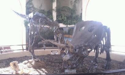
Can't-miss activities
Culture, natural beauty, and plain old fun.
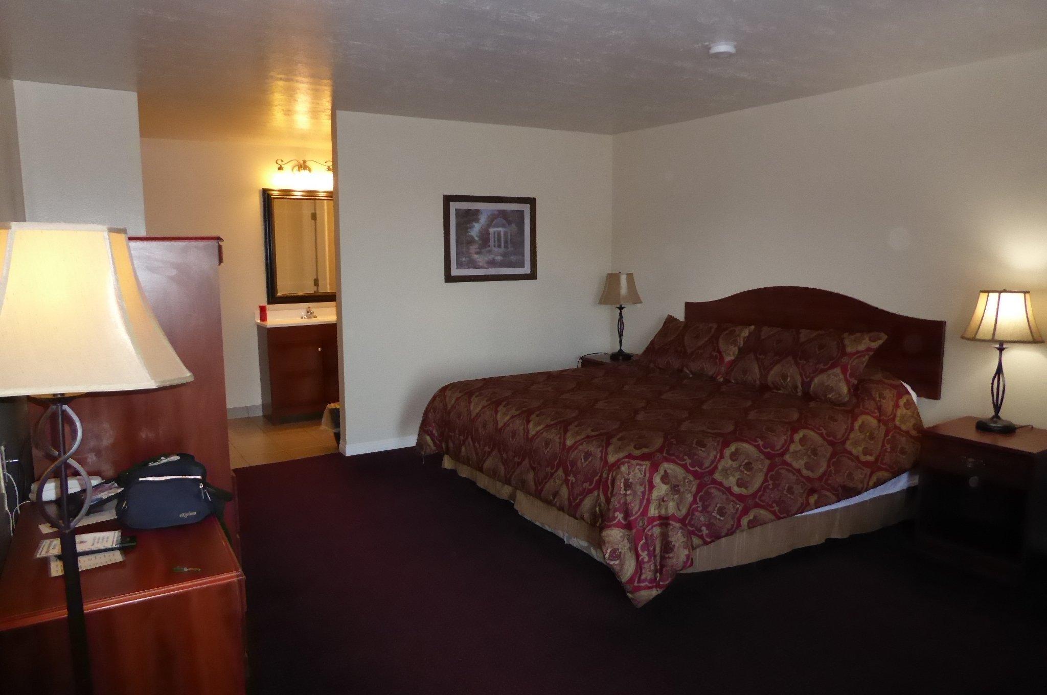
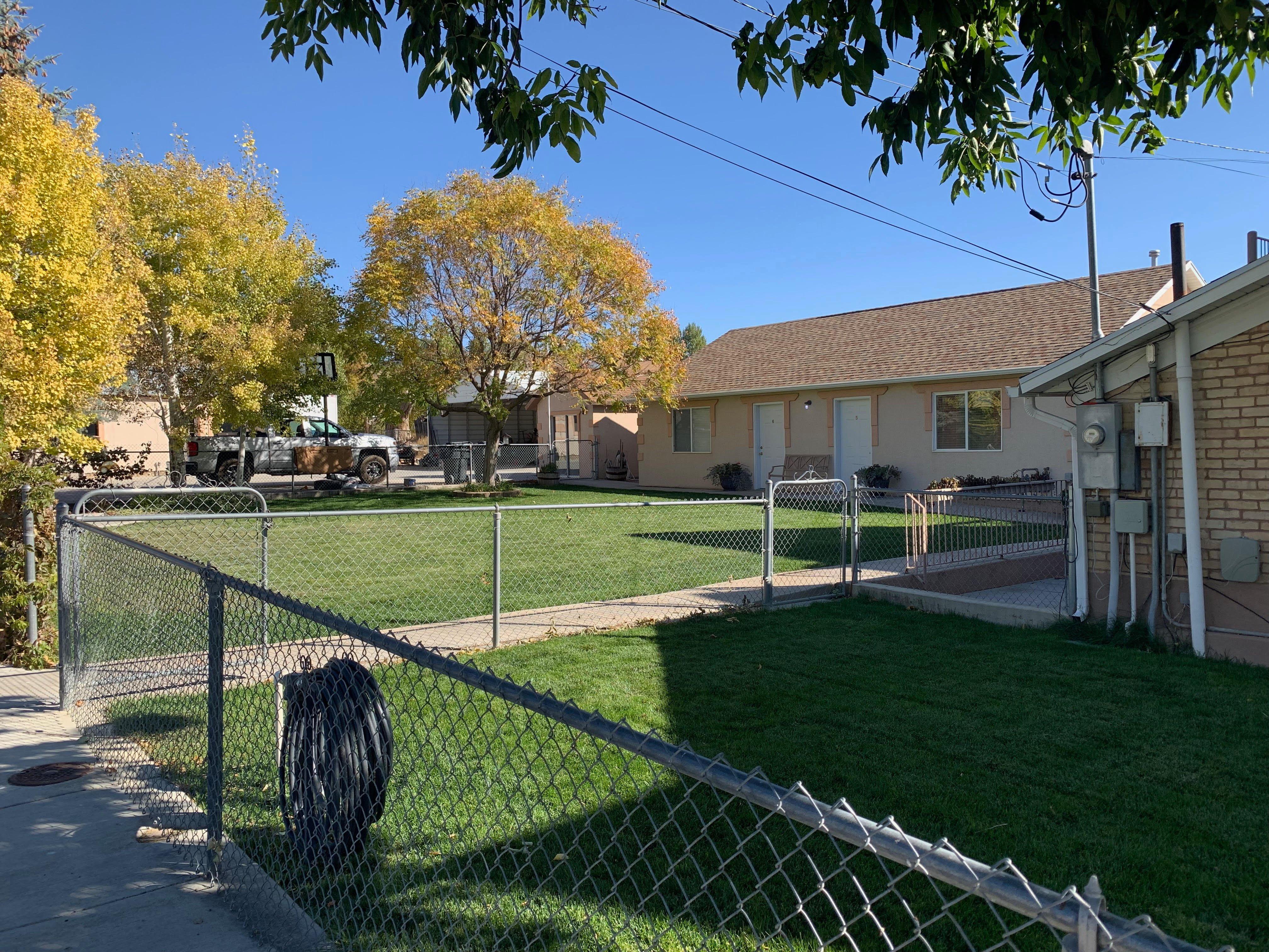
Places to stay
Hang your (vacation) hat in a place that’s just your style.