


Petrolia, TX
Petrolia, TX 76377
Petrolia Map
Petrolia is a city in Clay County, Texas, United States. It is part of the Wichita Falls, Texas Metropolitan Statistical Area. The population was 782 at the 2000 census.
Petrolia is located at 34°0?47?N 98°13?54?W / 34.01306°N 98.23167°W / 34.01306; -98.23167 (34.013107, -98.231655).
According to the United States Census Bureau, the city has a total area of 0.7 square miles (1.9 km²), all of it land.
Nearby cities include Henrietta, Ryan, Hastings, Waurika, Wichita Falls.
Places in Petrolia
Dine and drink
Eat and drink your way through town.


Can't-miss activities
Culture, natural beauty, and plain old fun.

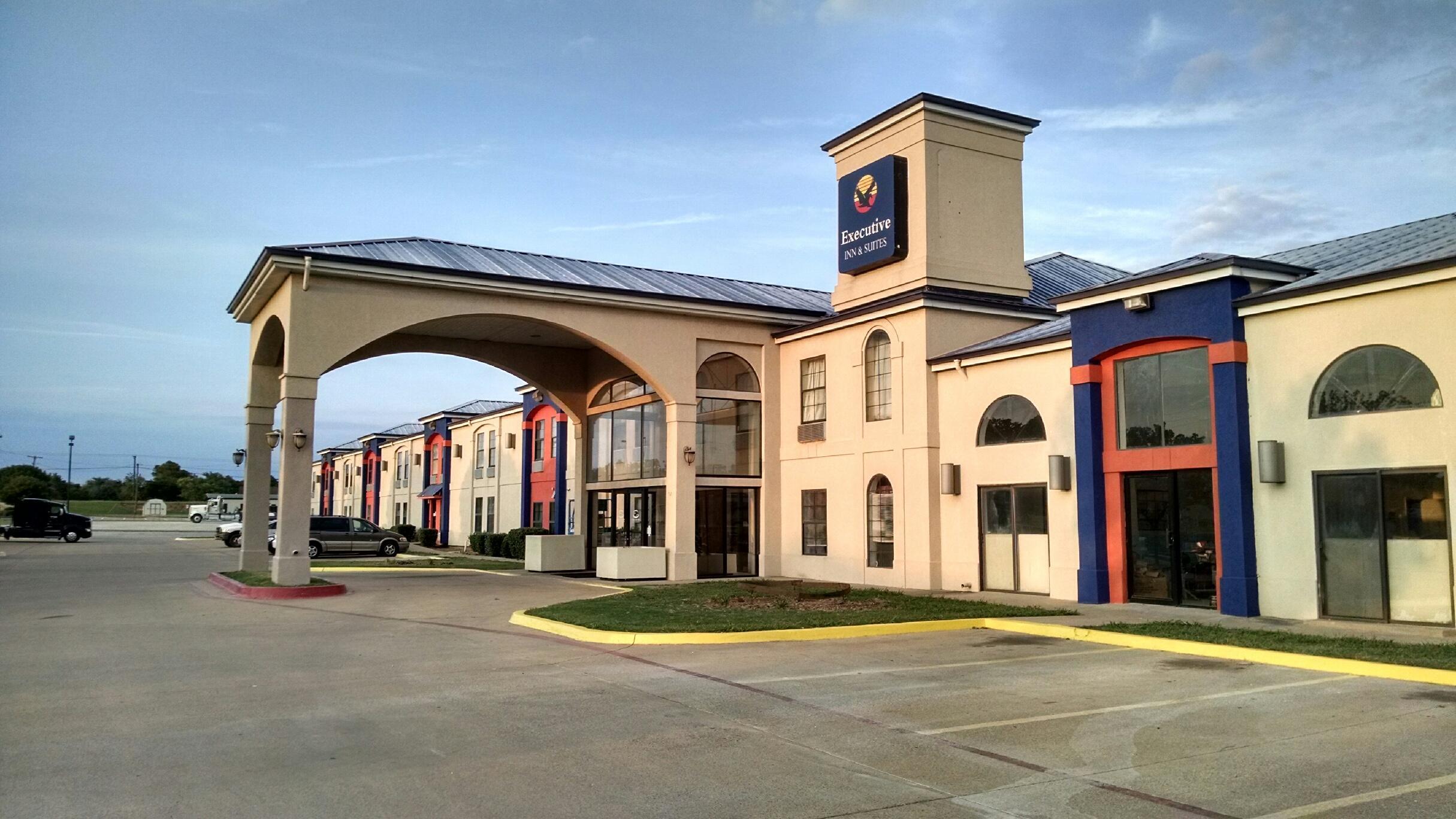
Places to stay
Hang your (vacation) hat in a place that’s just your style.
See a problem?