Columbus, TX
Columbus Map
Columbus is a city in Colorado County, Texas, United States, 74 miles (119 km) west of Houston along Interstate 10, on the Colorado River. In 1890, 2,199 people lived in Columbus, Texas; in 1900, there were 1,824 residents. The population was 3,916 as of the 2000 census. It is the county seat of Colorado County. The town's motto is "City of Live Oaks and Live Folks."
Columbus is located at 29°42?21?N 96°32?46?W / 29.70583°N 96.54611°W / 29.70583; -96.54611 (29.705822, -96.546223).
According to the United States Census Bureau, the city has a total area of 3.9 square miles (10 km2), all land.
Nearby cities include Weimar, Eagle Lake, Fayetteville, Industry.
Places in Columbus
Dine and drink
Eat and drink your way through town.


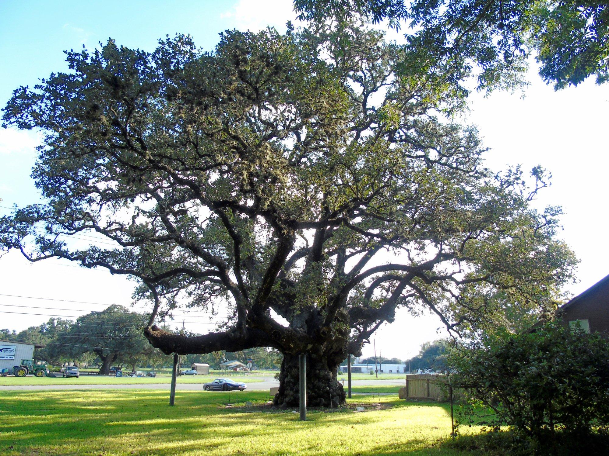
Can't-miss activities
Culture, natural beauty, and plain old fun.


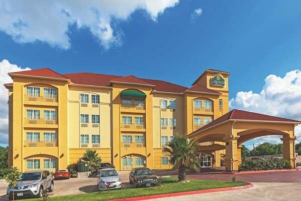
Places to stay
Hang your (vacation) hat in a place that’s just your style.