Watauga, TN
Watauga Map
Watauga is a city in Carter and Washington Counties in the U.S. state of Tennessee. The population was 403 at the 2000 census. It is part of the Johnson City Metropolitan Statistical Area, which is a component of the Johnson City–Kingsport–Bristol, TN-VA Combined Statistical Area – commonly known as the "Tri-Cities" region.
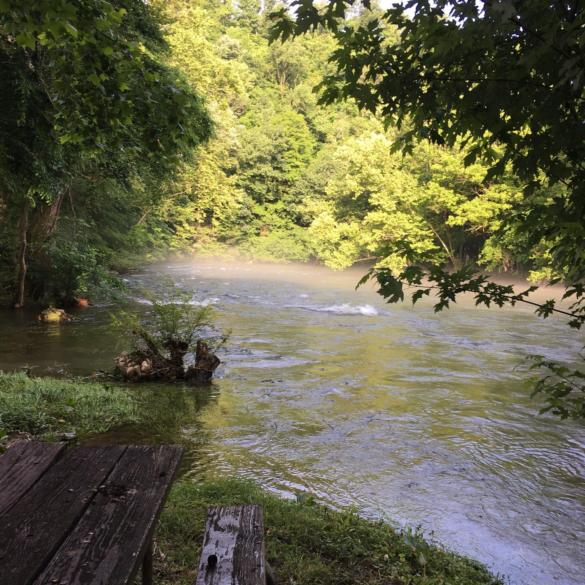
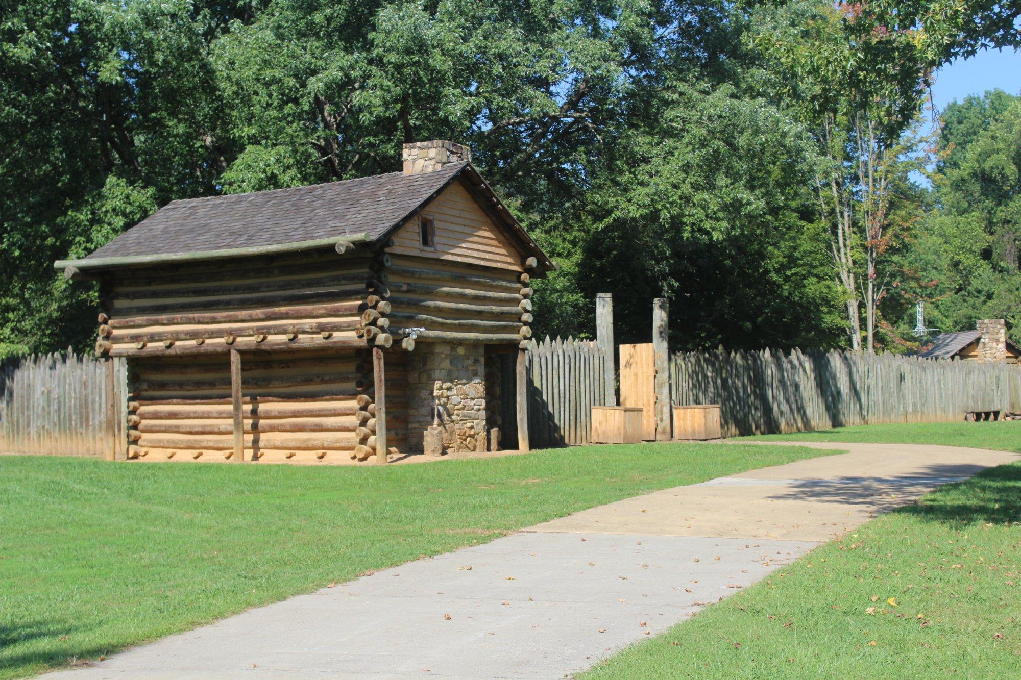
Watauga is most notable for the Watauga Association, an autonomous government formed by settlers along the Watauga River in present East Tennessee.
Watauga is located at 36°22?2?N 82°17?29?W / 36.36722°N 82.29139°W / 36.36722; -82.29139 (36.367305, -82.291296).
Nearby cities include Jonesborough, Gray, Blountville, Unicoi, Bristol.
Places in Watauga
Dine and drink
Eat and drink your way through town.


Can't-miss activities
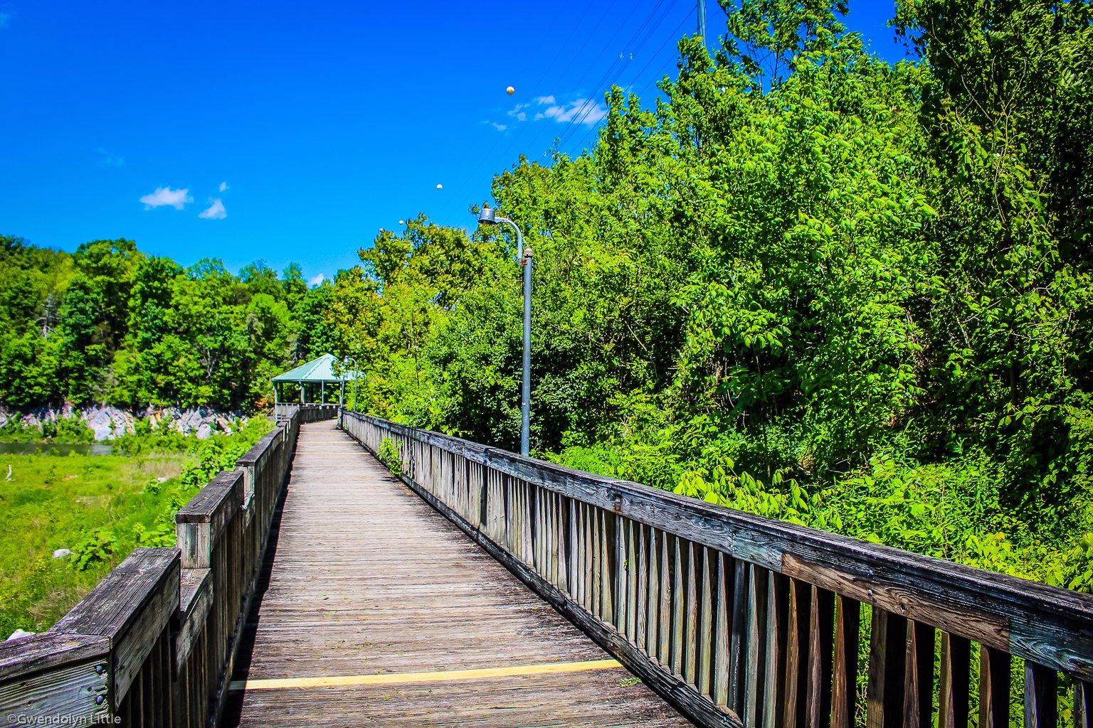
Culture, natural beauty, and plain old fun.


Places to stay
Hang your (vacation) hat in a place that’s just your style.