Louisville, TN
Louisville Map
Louisville is a city in Blount County, Tennessee, United States. Its population was 2,001 at the 2000 U.S. census. It is included in the Knoxville, Tennessee Metropolitan Statistical Area.
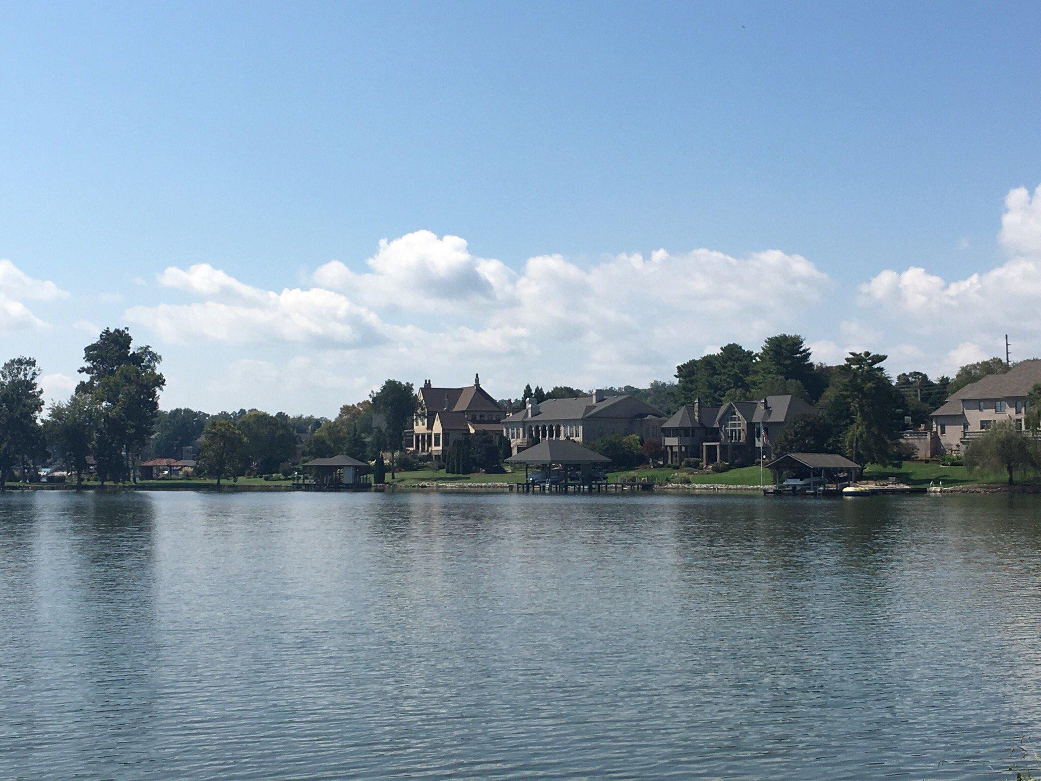
Louisville is located at 35°49?25?N 84°02?48?W / 35.823659°N 84.046718°W / 35.823659; -84.046718 (35.823659, -84.046718). The town is centered around the junction of State Route 333 (Louisville Road), which connects Louisville with Alcoa and Maryville to the east, and State Route 334, which connects Louisville with Friendsville to the west. The Fort Loudoun Lake impoundment of the Tennessee River comprises Louisville's northern border.
According to the United States Census Bureau, the city has a total area of 13.5 square miles (34.9 km2), of which, 11.6 square miles (30.0 km2) of it is land and 1.9 square miles (4.9 km2) of it (14.03%) is water.
Nearby cities include Lenoir City, Knoxville, Greenback, Walland, Seymour.
Places in Louisville
Dine and drink
Eat and drink your way through town.


Can't-miss activities
Culture, natural beauty, and plain old fun.


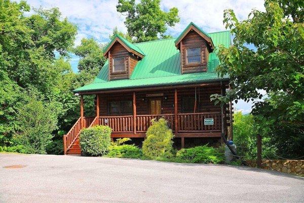
Places to stay
Hang your (vacation) hat in a place that’s just your style.