Friendsville, TN
Friendsville Map
Friendsville is a city in Blount County, Tennessee, United States. Its population was 890 at the 2000 U.S. census. It is included in the Knoxville, Tennessee Metropolitan Statistical Area.
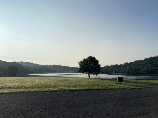
Friendsville is located at 35°45?21?N 84°7?52?W / 35.75583°N 84.13111°W / 35.75583; -84.13111 (35.755804, -84.131028). The town is situated along State Route 333 (Miser Station Road) and stretches from Fort Loudoun Lake in the north to U.S. Route 321 (Lamar Alexander Parkway) to the south. Elevation is 879 feet.
According to the United States Census Bureau, the city has a total area of 3.2 square miles (8.2 km²), all of it land.
Nearby cities include Loudon, Rockford, Vonore, Philadelphia, Walland.
Places in Friendsville
Dine and drink
Eat and drink your way through town.


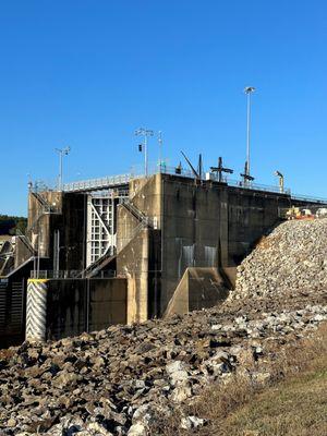
Can't-miss activities
Culture, natural beauty, and plain old fun.


Places to stay
Hang your (vacation) hat in a place that’s just your style.