


Iroquois, SD
Iroquois, SD
Iroquois Map
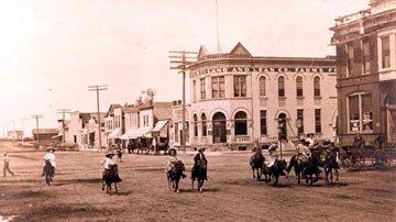
Iroquois is a city in Beadle and Kingsbury Counties in the U.S. state of South Dakota. The population was 266 at the 2010 census. The school building (kindergarten - twelfth grade) is located in Kingsbury County, while the school parking lot is located in Beadle County. Highway 14 runs directly through Iroquois.
Iroquois is located at 44°21?59?N 97°51?0?W / 44.36639°N 97.85°W / 44.36639; -97.85 (44.366437, -97.850095).
According to the United States Census Bureau, the city has a total area of 0.5 square miles (1.4 km²), all of it land.
Places in Iroquois
Dine and drink
Eat and drink your way through town.


Can't-miss activities
Culture, natural beauty, and plain old fun.

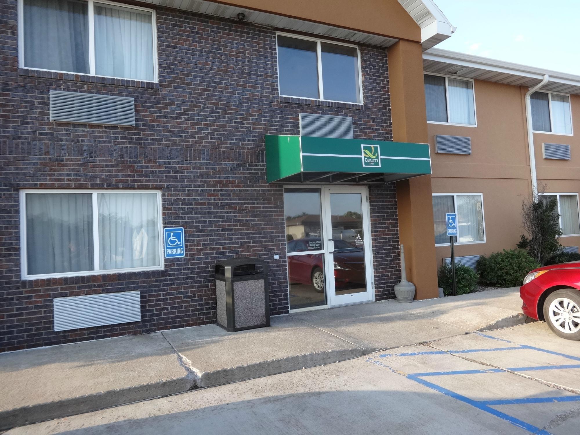
Places to stay
Hang your (vacation) hat in a place that’s just your style.


See a problem?