Lincolnville, SC
Lincolnville, SC Map
Lincolnville is a US city in Charleston County in the state of South Carolina. Located at the longitude and latitude of -80.157778, 33.008611 and situated at an elevation of 24 meters. In the 2020 United States Census, Lincolnville, SC had a population of 1,147 people. Lincolnville is in the Eastern Standard Time timezone at Coordinated Universal Time (UTC) -5. Find directions to Lincolnville, SC, browse local businesses, landmarks, get current traffic estimates, road conditions, and more.
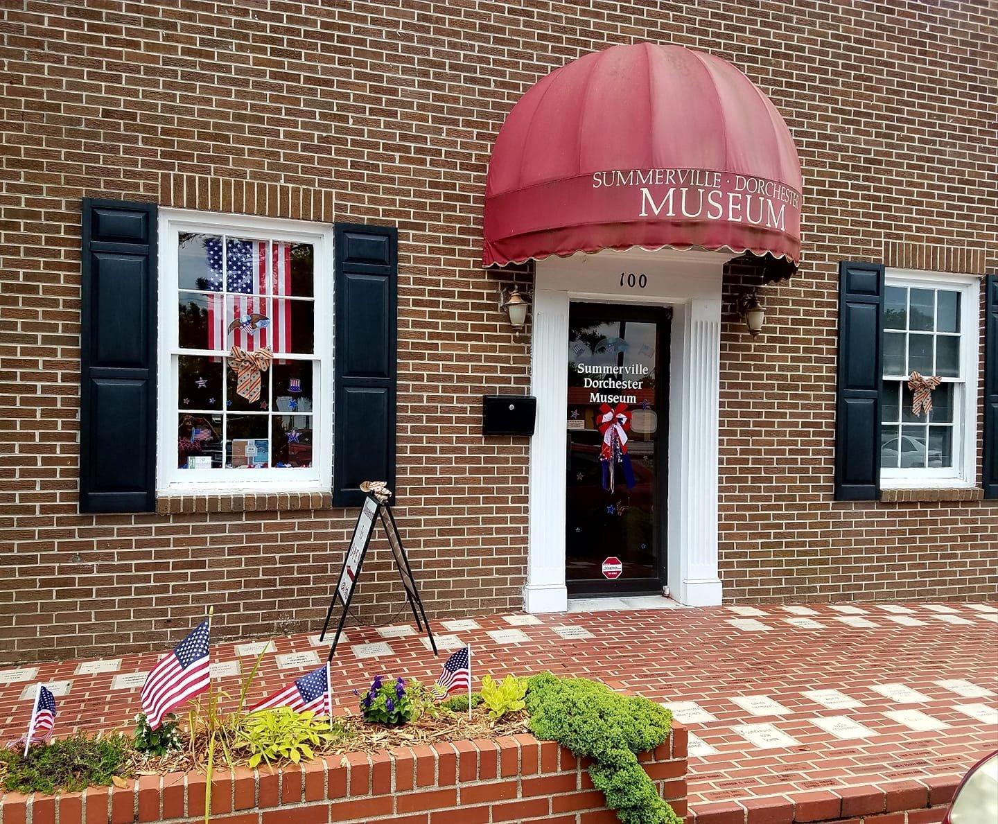
Lincolnville, South Carolina, is a town rich in history and community spirit, known primarily for its origins as a settlement for freed African-Americans after the Civil War. Founded in 1867, it carries a significant historical legacy as a symbol of resilience and empowerment. Visitors to Lincolnville can explore its quaint neighborhoods, which echo the town's deep-rooted heritage and cultural significance. The town itself is relatively small but offers a serene environment for those interested in exploring historical Southern towns.
Among the notable places in Lincolnville is the Shady Grove Campground, which is not only a spiritual retreat but also a historical site tied to the African Methodist Episcopal Church. The campgrounds have been a focal point for gatherings and events for over a century, serving as a testament to the town's enduring community bonds. Additionally, Lincolnville's proximity to natural landscapes offers opportunities for leisurely exploration, making it a peaceful stop for those interested in history, culture, and nature.
Nearby cities include: Summerville, SC, Sangaree, SC, Ladson, SC, Goose Creek, SC, Ridgeville, SC, Hanahan, SC, North Charleston, SC, Moncks Corner, SC, Ravenel, SC, Pinopolis, SC.
Places in Lincolnville
Dine and drink
Eat and drink your way through town.


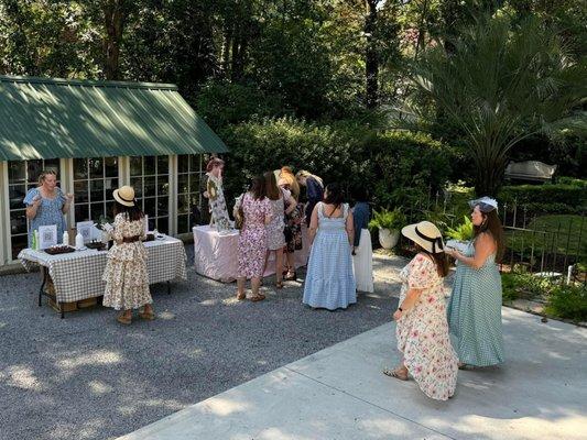
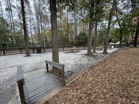
Can't-miss activities
Culture, natural beauty, and plain old fun.


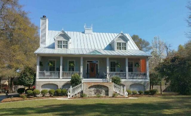
Places to stay
Hang your (vacation) hat in a place that’s just your style.