Georgetown, SC
Georgetown Map
Georgetown is the third oldest city in the U.S. state of South Carolina and the county seat of Georgetown County, in the Low Country. Located on Winyah Bay at the confluence of the Great Pee Dee River, Waccamaw River, and Sampit River, Georgetown is the second largest seaport in South Carolina, handling over 960,000 tons of materials a year.
Georgetown is located at 33°22?3?N 79°17?38?W / 33.3675°N 79.29389°W / 33.3675; -79.29389 (33.367434, -79.293807).
According to the United States Census Bureau, the city has a total area of 7.2 square miles (18.6 km²), of which, 6.5 square miles (16.9 km²) of it is land and 0.6 square miles (1.6 km²) of it (8.79%) is water.
Nearby cities include Pawleys Island, Andrews, Murrells Inlet.
Places in Georgetown
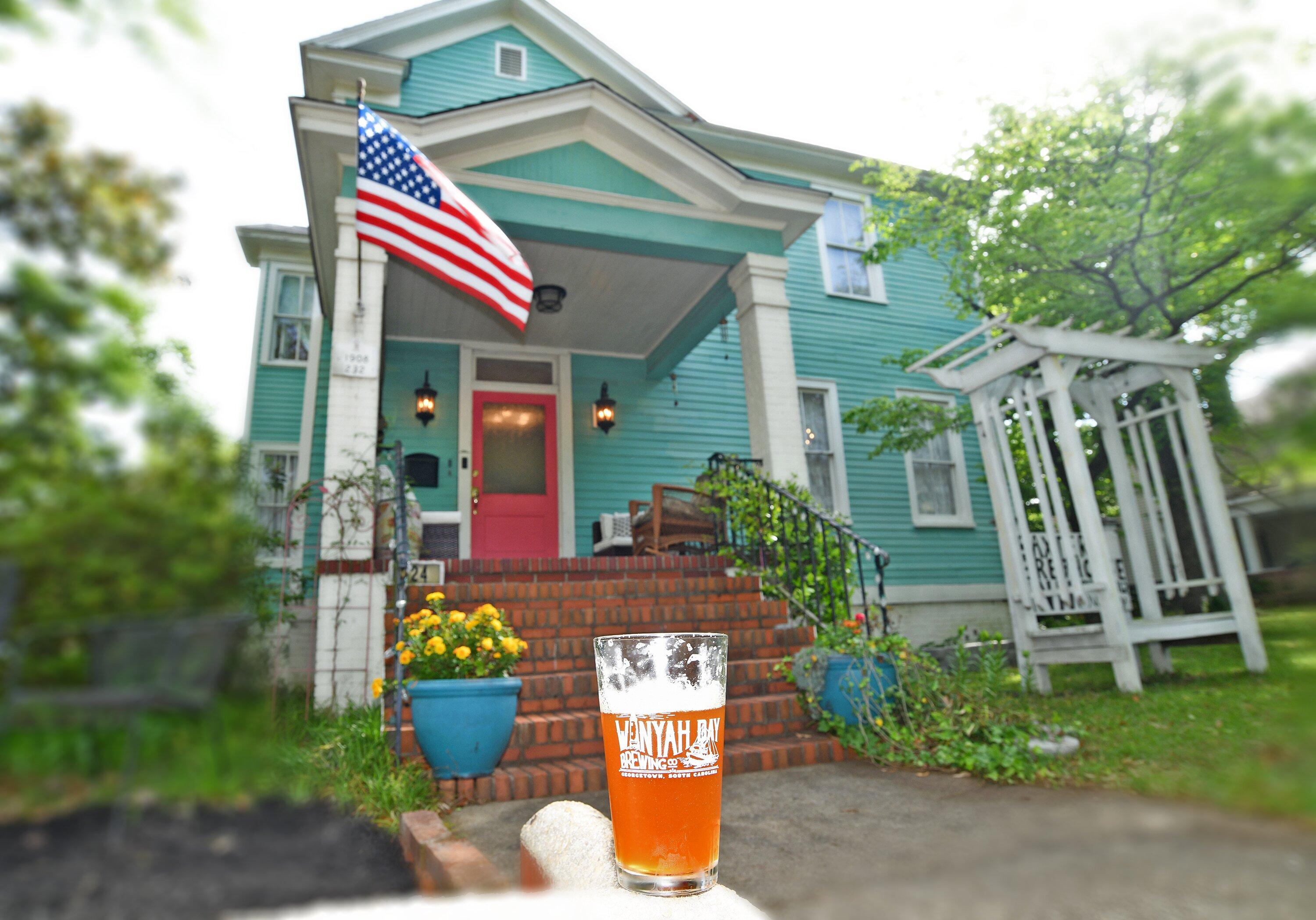
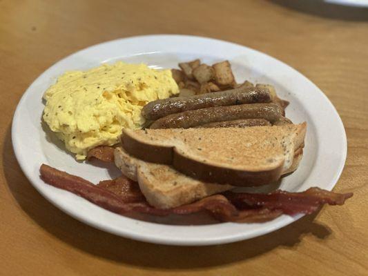
Dine and drink
Eat and drink your way through town.


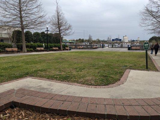
Can't-miss activities
Culture, natural beauty, and plain old fun.


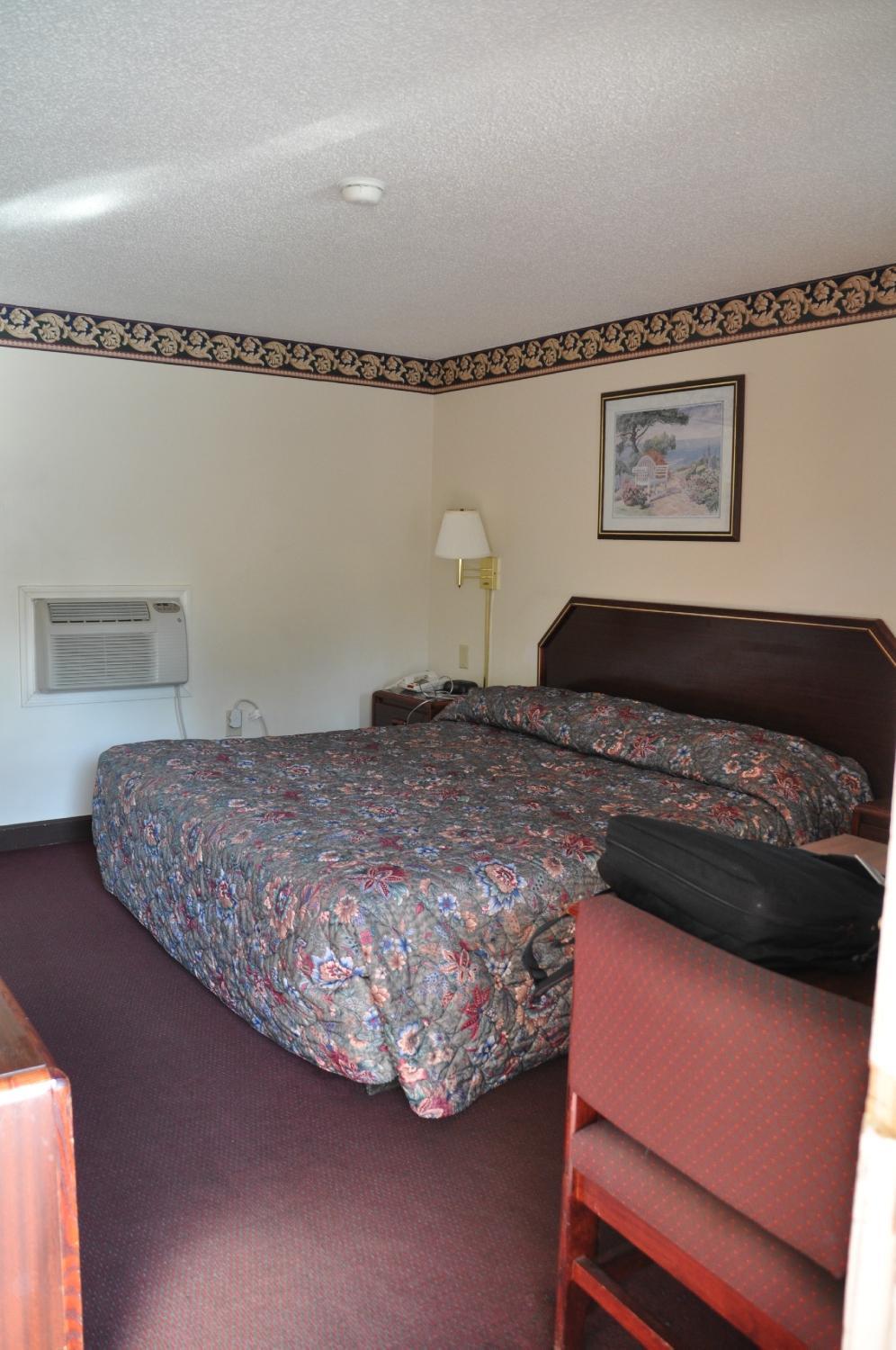
Places to stay
Hang your (vacation) hat in a place that’s just your style.