Calhoun Falls, SC
Calhoun Falls, SC Map
Calhoun Falls is a US city in Abbeville County in the state of South Carolina. Located at the longitude and latitude of -82.589722, 34.092778 and situated at an elevation of 161 meters. In the 2020 United States Census, Calhoun Falls, SC had a population of 1,727 people. Calhoun Falls is in the Eastern Standard Time timezone at Coordinated Universal Time (UTC) -5. Find directions to Calhoun Falls, SC, browse local businesses, landmarks, get current traffic estimates, road conditions, and more.
Calhoun Falls, located in South Carolina, is a small town known for its proximity to the beautiful Lake Russell and the Calhoun Falls State Park. This park is a significant draw for visitors, offering a variety of outdoor activities such as camping, hiking, fishing, and boating. The park's scenic landscapes and well-maintained trails make it a favorite spot for nature enthusiasts and families looking for a peaceful getaway in the great outdoors.
The town's history is deeply tied to the development of the railway system in the early 20th century, which played a crucial role in its growth and establishment. Although small, Calhoun Falls has a quaint charm that reflects its historical roots, with a few local shops and eateries that cater to both residents and tourists. The community's warm hospitality and the natural beauty of the surrounding area make it a delightful destination for those seeking a quieter, more relaxed travel experience.
Nearby cities include: Mount Carmel, SC, Lowndesville, SC, Abbeville, SC, Iva, SC, Elberton, GA, Tignall, GA, Troy, SC, Bradley, SC, Due West, SC, Promised Land, SC.
Places in Calhoun Falls
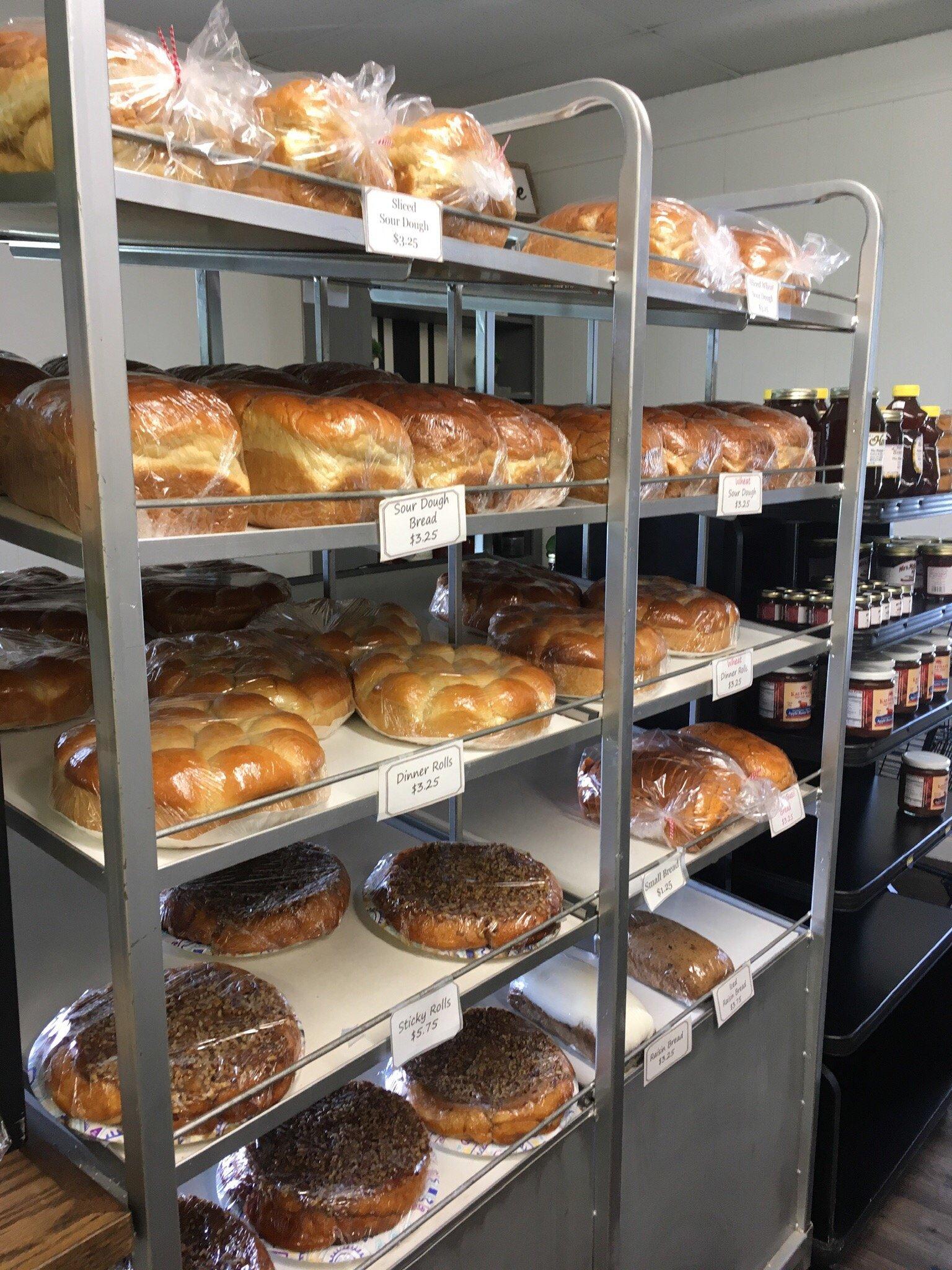
Dine and drink
Eat and drink your way through town.


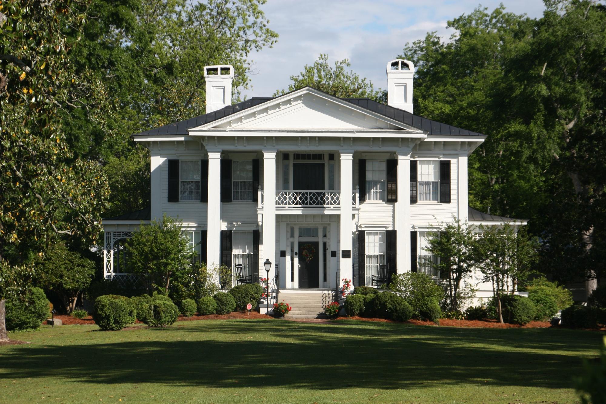
Can't-miss activities
Culture, natural beauty, and plain old fun.


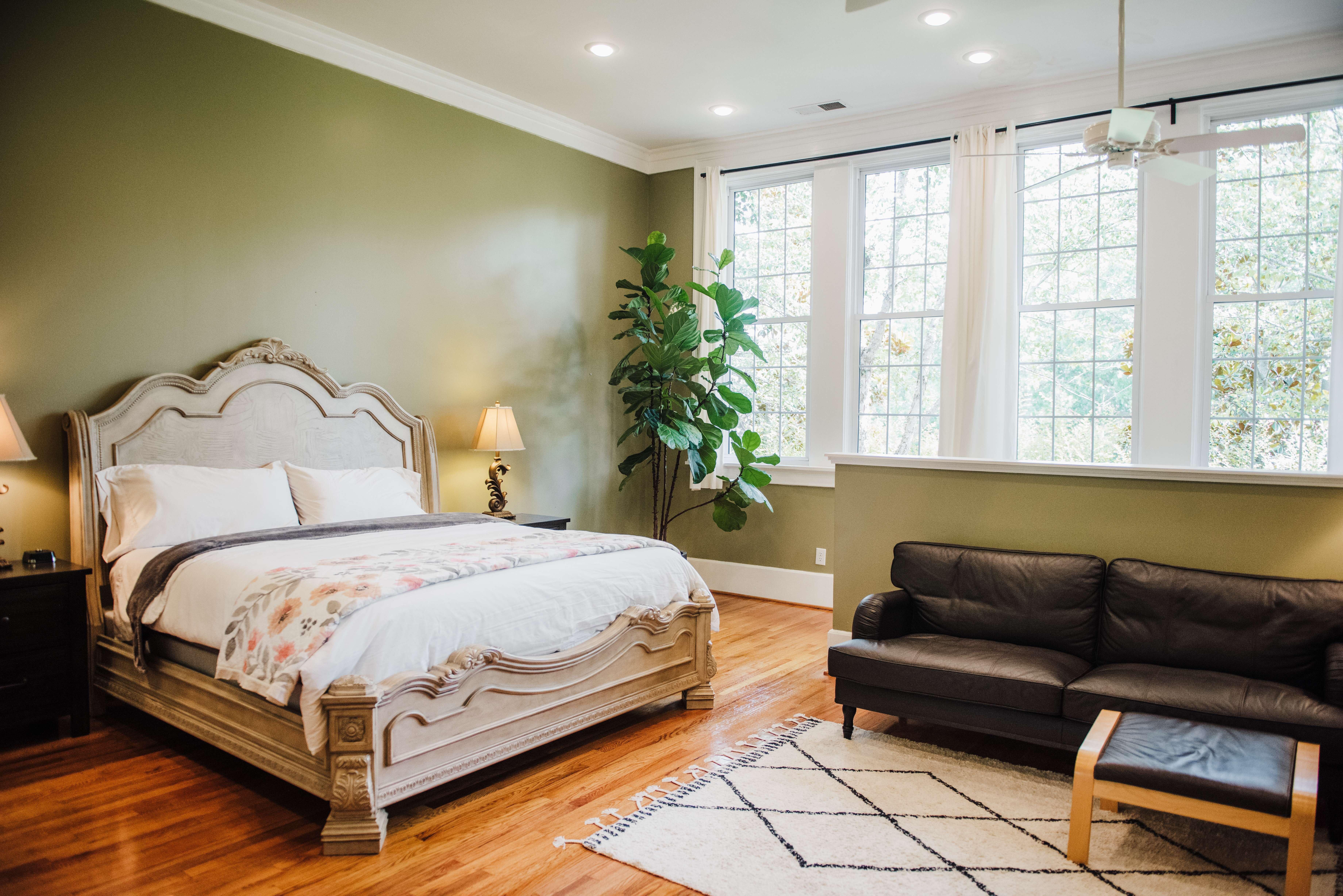
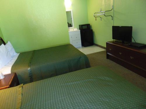
Places to stay
Hang your (vacation) hat in a place that’s just your style.