Union City, PA
Union City Map
Union City is a borough in Erie County, Pennsylvania, 26 miles (42 km) southeast of Erie. In the twentieth century, there were three large chair factories, planing and grist mills, a powdered milk plant, and several furniture factories. In 1900, 3,104 people lived here, and in 1910, 3,684 people lived here. The population was 3,463 at the 2000 census. It is part of the Erie Metropolitan Statistical Area.
Union City is located at 41°53?46?N 79°50?40?W / 41.89611°N 79.84444°W / 41.89611; -79.84444 (41.896056, -79.844425).
According to the United States Census Bureau, the borough has a total area of 1.9 square miles (4.8 km²), all of it land.
Nearby cities include Corry, Centerville, Columbus, Edinboro, Townville.
Places in Union City
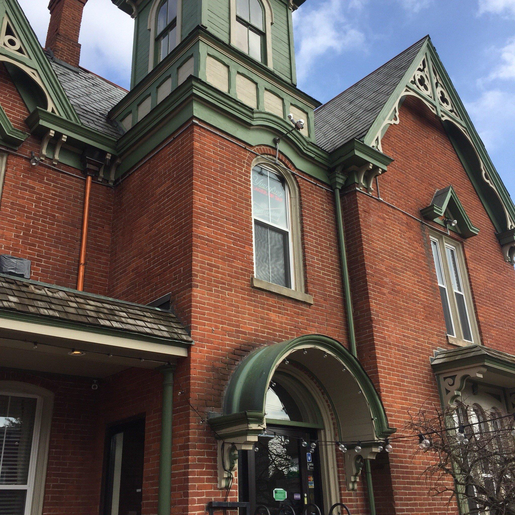
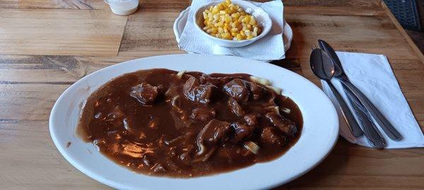
Dine and drink
Eat and drink your way through town.


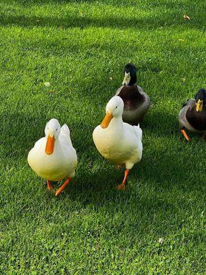
Can't-miss activities
Culture, natural beauty, and plain old fun.
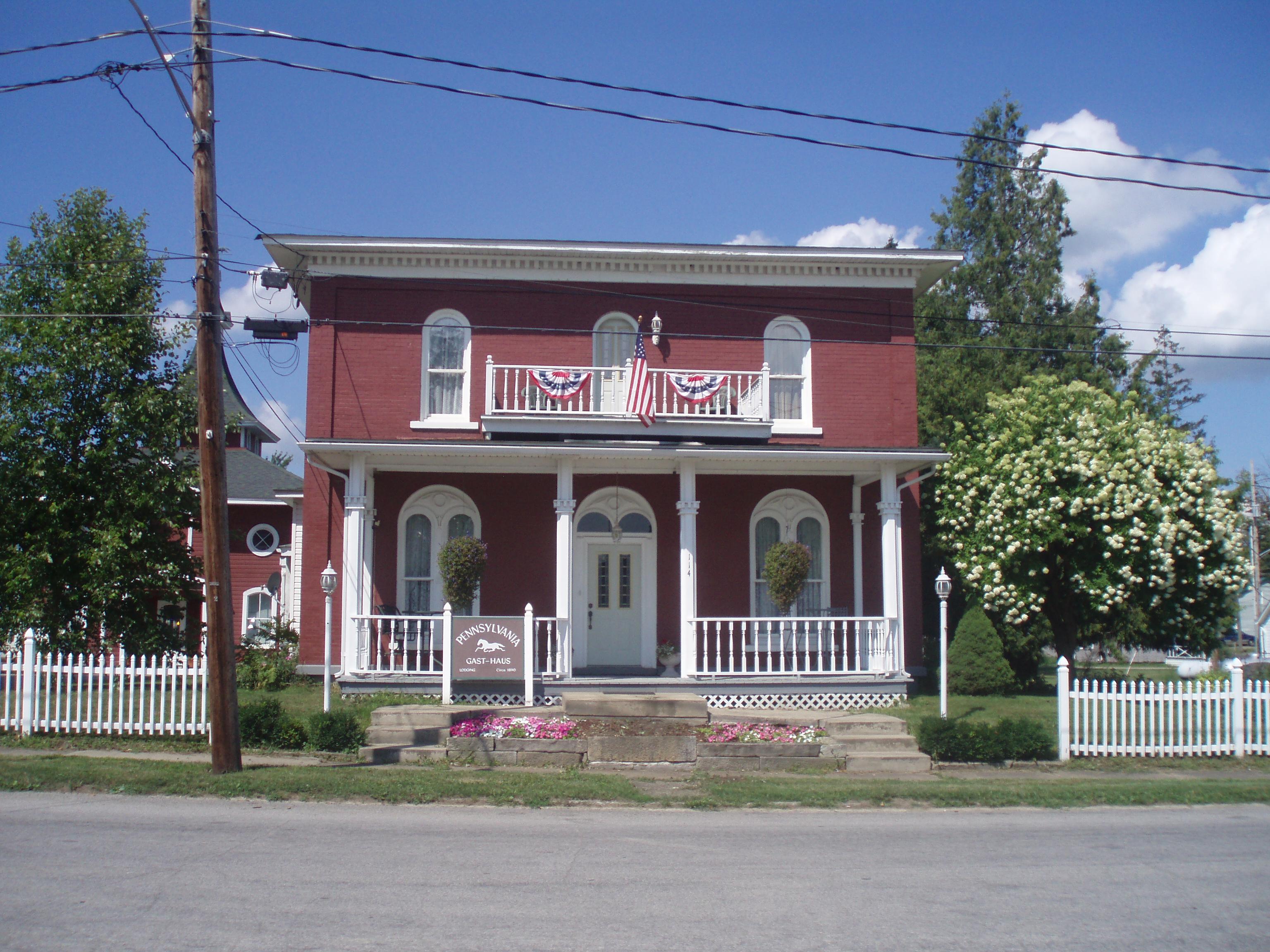
Places to stay
Hang your (vacation) hat in a place that’s just your style.