Ardmore, PA
Ardmore Map
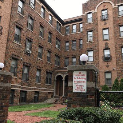
Ardmore is a census-designated place (CDP) in Delaware and Montgomery counties in the U.S. state of Pennsylvania. The population was 12,455 at the 2010 census. The community of Ardmore is a suburb on the west side of Philadelphia, primarily within Lower Merion Township in Montgomery County; a smaller portion of the community is the area of Ardmore Park in adjacent Haverford Township in Delaware County. Originally named Athensville in 1853, the community and its railroad station were renamed Ardmore in 1873 by the Pennsylvania Railroad, on whose "Main Line" west out of Philadelphia Ardmore sits, at Milepost 8.5.
Ardmore is located at 40°00?24?N 75°17?07?W / 40.00667°N 75.28528°W / 40.00667; -75.28528 (40.001411, ?75.295180).
According to the United States Census Bureau, the CDP has a total area of 1.9 square miles (4.9 km2). Ardmore is adjacent to Wynnewood (east), Haverford (west), Gladwyne (north), and Havertown (south). Residents from South East Ardmore and Wynnewood cooperate as the ArdWood Civic Association. The Ardmore Progressive Civic Association serves the historically Black section of Ardmore bordered by ArdWood Civic Association, Haverford College, Montgomery Avenue, and the Montgomery/Delaware County line. The North Ardmore Civic Association represents residents of North Ardmore and Wynnewood north of Montgomery Avenue.
Nearby cities include Narberth, Merion Station, Eddystone, Chesterbrook, Brookhaven.
Places in Ardmore
Dine and drink
Eat and drink your way through town.


Can't-miss activities
Culture, natural beauty, and plain old fun.


Places to stay
Hang your (vacation) hat in a place that’s just your style.