Sodaville, OR
Sodaville, OR Map
Sodaville is a US city in Linn County in the state of Oregon. Located at the longitude and latitude of -122.868611, 44.483889 and situated at an elevation of 150 meters. In the 2020 United States Census, Sodaville, OR had a population of 360 people. Sodaville is in the Pacific Standard Time timezone at Coordinated Universal Time (UTC) -8. Find directions to Sodaville, OR, browse local businesses, landmarks, get current traffic estimates, road conditions, and more.
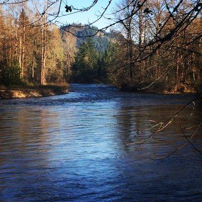
Sodaville, Oregon, is a small city steeped in history and known for its natural springs, which have been a focal point since the 19th century. The city's name derives from the soda springs that were once a popular health destination for settlers seeking the reputed healing properties of the mineral-rich waters. This legacy is preserved at Sodaville Springs Park, a tranquil area where visitors can explore the lush surroundings and learn about the site's historical significance through informational displays.
While Sodaville may not boast a bustling urban center, its charm lies in its serene environment and connection to nature. The city's proximity to various outdoor recreational opportunities makes it a quaint spot for those looking to enjoy Oregon's natural beauty. Whether visiting for a leisurely walk or to delve into its historical roots, Sodaville offers a peaceful retreat with a touch of historical intrigue.
Nearby cities include: Waterloo, OR, Lebanon, OR, Brownsville, OR, Sweet Home, OR, Crabtree, OR, Shedd, OR, Tangent, OR, Halsey, OR, Albany, OR, Scio, OR.
Places in Sodaville


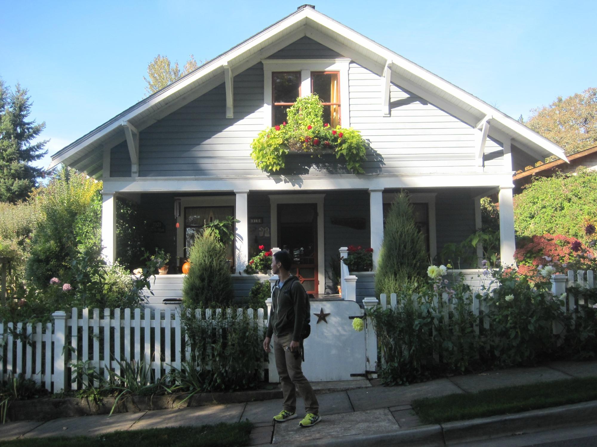
Can't-miss activities
Culture, natural beauty, and plain old fun.


Places to stay
Hang your (vacation) hat in a place that’s just your style.