Laurelwood, OR
Laurelwood, OR Map
Laurelwood is a US city in Washington County in the state of Oregon. Located at the longitude and latitude of -123.080833, 45.422778 and situated at an elevation of 243 meters. In the 2020 United States Census, Laurelwood, OR had a population of 503 people. Laurelwood is in the Pacific Standard Time timezone at Coordinated Universal Time (UTC) -8. Find directions to Laurelwood, OR, browse local businesses, landmarks, get current traffic estimates, road conditions, and more.
Laurelwood, located in the picturesque state of Oregon, is a small yet vibrant community known for its lush landscapes and serene surroundings. The city is renowned for its rich agricultural history and a strong sense of community that dates back to its early settlement days. Laurelwood's scenic beauty is accentuated by the rolling hills and verdant fields that dominate the area, making it a perfect destination for those seeking a peaceful escape into nature.
One of the most popular spots in Laurelwood is the Laurelwood Academy, a historic institution that adds a touch of historical significance to the city. The city is also home to several charming local farms and vineyards, offering visitors a taste of the region's agricultural bounty. These establishments often host tours and tastings, providing a delightful experience for both locals and tourists alike. Laurelwood's commitment to preserving its natural beauty and fostering a close-knit community atmosphere makes it a unique and inviting destination in Oregon.
Nearby cities include: Gaston, OR, Cornelius, OR, Forest Grove, OR, Yamhill, OR, Hillsboro, OR, Newberg, OR, Carlton, OR, Dundee, OR, Sherwood, OR, Lafayette, OR.
Places in Laurelwood
Dine and drink
Eat and drink your way through town.


Can't-miss activities
Culture, natural beauty, and plain old fun.


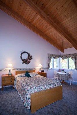
Places to stay
Hang your (vacation) hat in a place that’s just your style.