


Tupelo, OK
Tupelo, OK 74572
Tupelo Map
Tupelo is a city in Coal County, Oklahoma, United States. The population was 377 at the 2000 census.
Tupelo is located at 34°36?11?N 96°25?14?W / 34.60306°N 96.42056°W / 34.60306; -96.42056 (34.603133, -96.420531).
According to the United States Census Bureau, the city has a total area of 0.4 square miles (1.0 km²), all of it land.
Nearby cities include Coalgate, Wapanucka, Ada, Allen, Stonewall.
Places in Tupelo
Dine and drink
Eat and drink your way through town.


Can't-miss activities
Culture, natural beauty, and plain old fun.


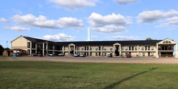
Places to stay
Hang your (vacation) hat in a place that’s just your style.


See a problem?