


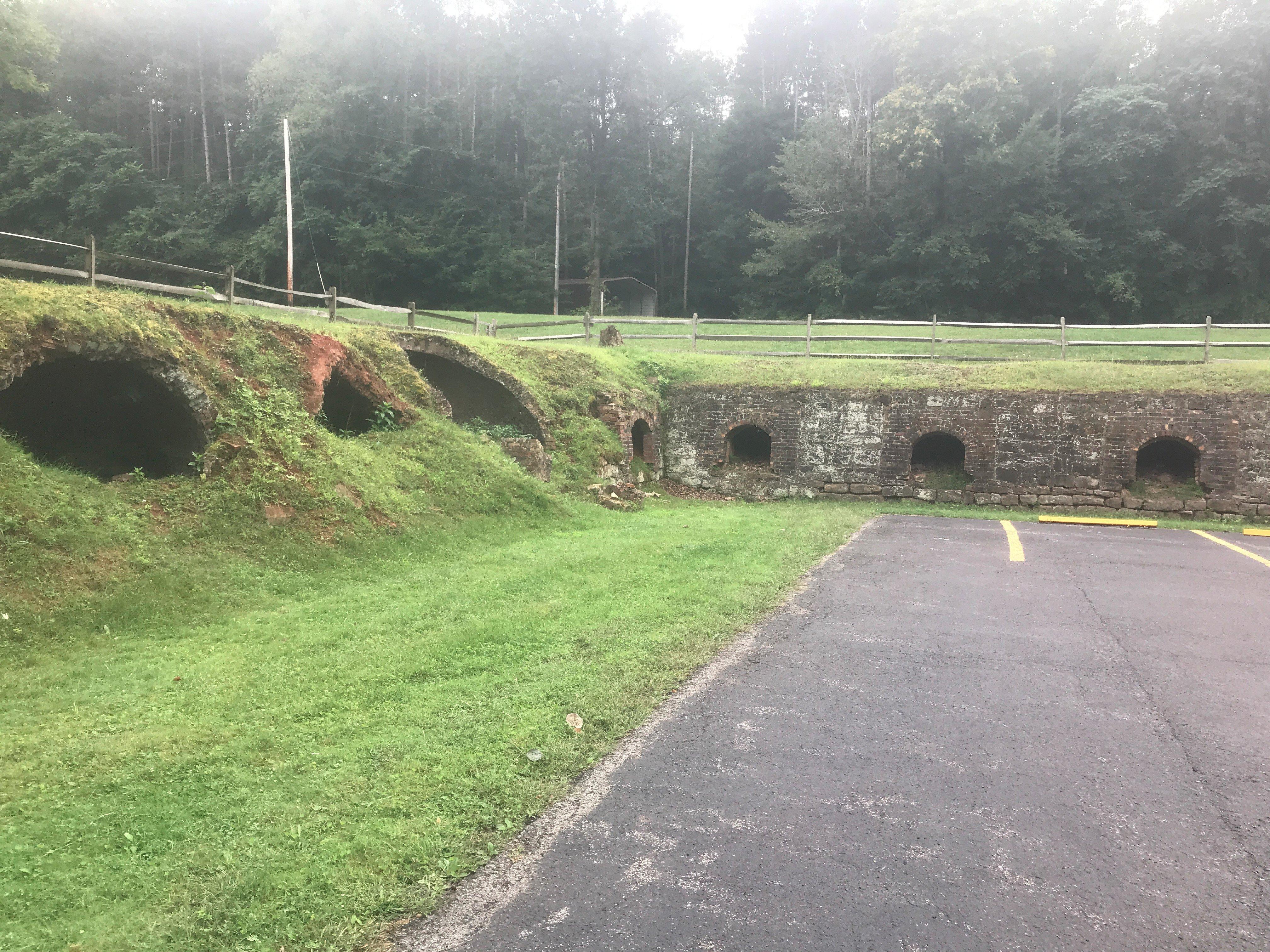
Washingtonville, OH
Washingtonville, OH 44490
Washingtonville Map
Washingtonville is a village in Columbiana and Mahoning counties in the U.S. state of Ohio. The population was 789 at the 2000 census. Washingtonville is split between the East Liverpool–Salem Micropolitan Statistical Area and the Youngstown–Warren–Boardman, OH-PA Metropolitan Statistical Area.
Washingtonville is located at 40°53?55?N 80°45?52?W / 40.89861°N 80.76444°W / 40.89861; -80.76444 (40.898603, -80.764419).
According to the United States Census Bureau, the village has a total area of 0.7 square miles (1.7 km²), all of it land.
Nearby cities include Leetonia, Rogers, Beloit, Poland, New Middletown.
Places in Washingtonville
Dine and drink
Eat and drink your way through town.


Can't-miss activities
Culture, natural beauty, and plain old fun.


Places to stay
Hang your (vacation) hat in a place that’s just your style.


See a problem?