The Plains, OH
The Plains, OH Map
The Plains is a US city in Athens County in the state of Ohio. Located at the longitude and latitude of -82.132200, 39.370300 and situated at an elevation of 218 meters. In the 2020 United States Census, The Plains, OH had a population of 3,140 people. The Plains is in the Eastern Standard Time timezone at Coordinated Universal Time (UTC) -5. Find directions to The Plains, OH, browse local businesses, landmarks, get current traffic estimates, road conditions, and more.
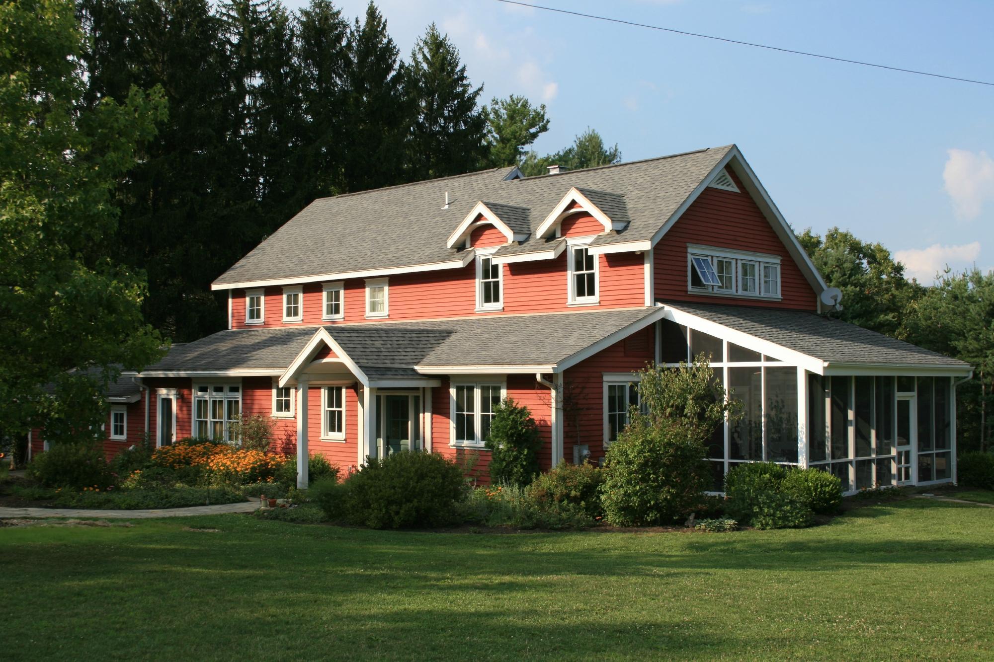
The Plains, Ohio, is a modest and historically rich community known for its connection to ancient Native American history. At the heart of its cultural identity is the presence of the Wolf Plains Mound Group, a collection of ancient burial mounds that reflect the area’s significance to the Adena culture, which thrived in the region thousands of years ago. These earthworks offer a glimpse into prehistoric life and are a point of interest for archaeology enthusiasts and history buffs alike.
In addition to its historical significance, The Plains is characterized by its welcoming small-town atmosphere and access to outdoor recreational activities. The nearby Strouds Run State Park provides opportunities for hiking, fishing, and boating, making it a popular spot for nature lovers. The community also hosts local events and festivals that celebrate regional culture and traditions, fostering a strong sense of community among residents and visitors. Whether you're exploring its ancient history or enjoying its natural beauty, The Plains offers a unique blend of past and present.
Nearby cities include: Chauncey, OH, Athens, OH, Dover, OH, Athens, OH, Millfield, OH, New Marshfield, OH, Waterloo, OH, Canaan, OH, Buchtel, OH, Nelsonville, OH.
Places in The Plains
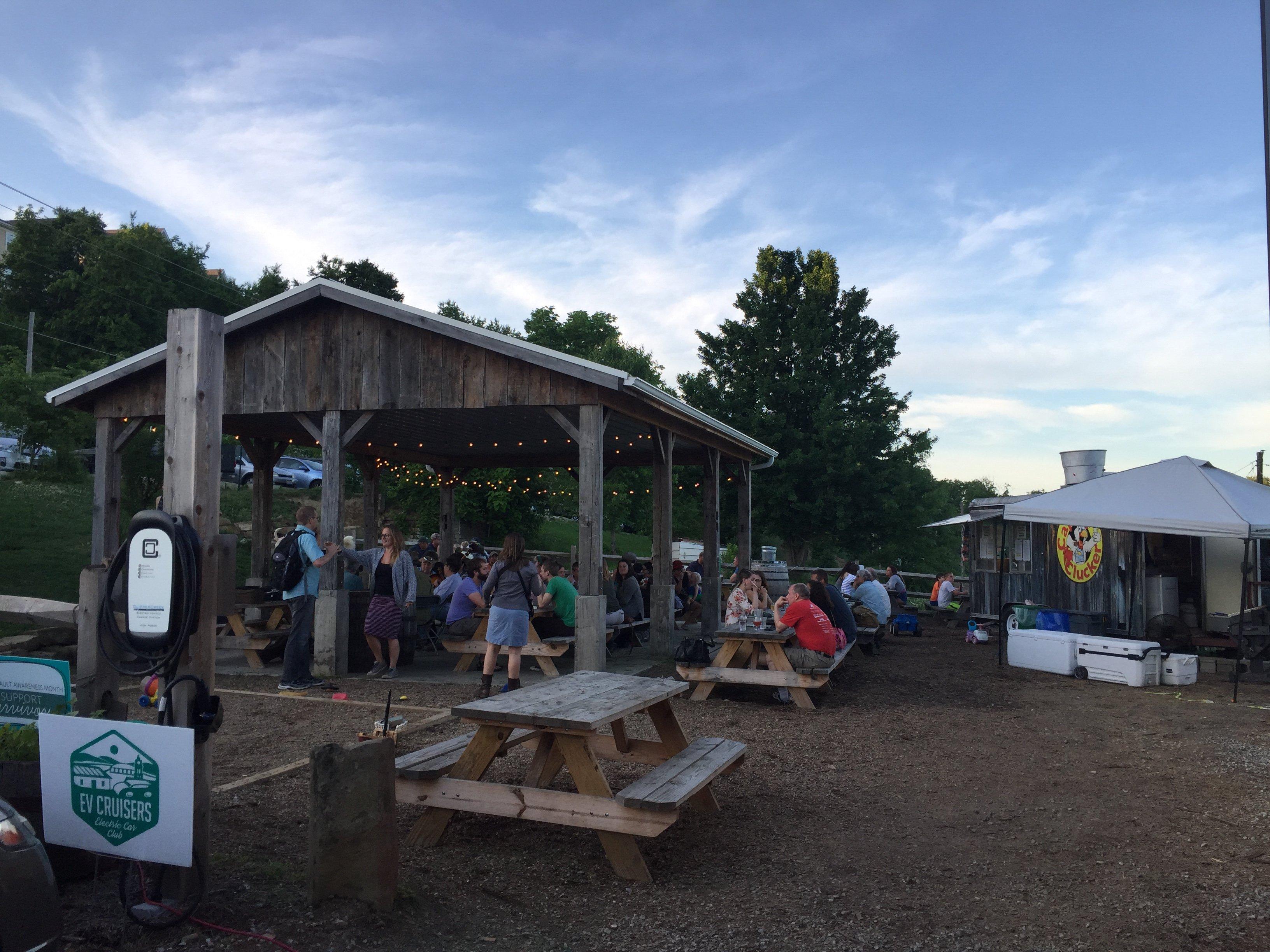
Dine and drink
Eat and drink your way through town.


Can't-miss activities
Culture, natural beauty, and plain old fun.


Places to stay
Hang your (vacation) hat in a place that’s just your style.