Salem, OH
Salem Map
Salem is a city in northern Columbiana County and extreme southern Mahoning County, Ohio, United States. At the 2000 census, the city's population was 12,197.
Salem is a principal city of the East Liverpool-Salem Micropolitan Statistical Area, which includes all of Columbiana County. The small portion of the city that extends into Mahoning County is considered part of the Youngstown-Warren-Boardman, OH-PA Metropolitan Statistical Area. Both of these are components of the Youngstown-Warren-East Liverpool, OH-PA Combined Statistical Area.
Salem is located at 40°54?3?N 80°51?10?W / 40.90083°N 80.85278°W / 40.90083; -80.85278 (40.900885, -80.852831).
Nearby cities include Lisbon, Hanoverton, Homeworth, Boardman, Alliance.
Places in Salem
Dine and drink
Eat and drink your way through town.


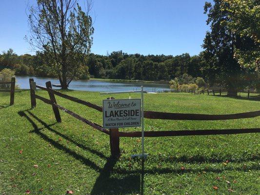
Can't-miss activities
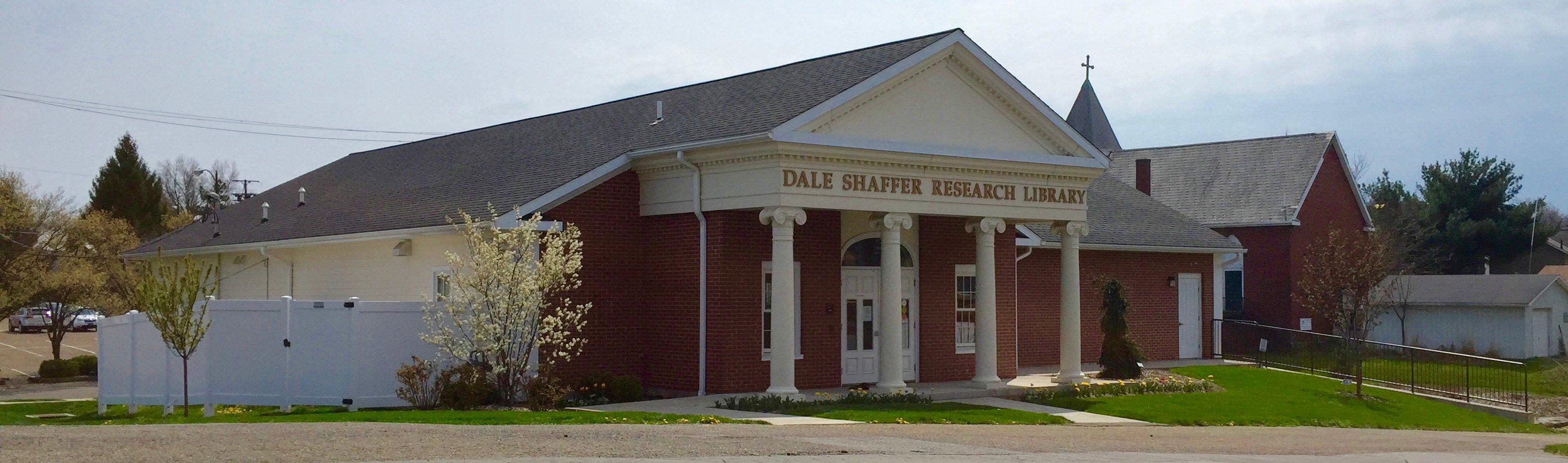
Culture, natural beauty, and plain old fun.

Places to stay
Hang your (vacation) hat in a place that’s just your style.