Rutland, OH
Rutland Map
Rutland is a village in Meigs County, Ohio, United States. The population was 401 at the 2000 census.
Rutland is located at 39°2?32?N 82°7?44?W / 39.04222°N 82.12889°W / 39.04222; -82.12889 (39.042291, -82.128967). The village lies in the Appalachian Plateau physiographic region. It is situated in a wide valley along Little Leading Creek. The village is plagued by frequent flash floods, often causing road and school closures. The surrounding hills, once containing profitable amounts of bituminous coal, have been subjected to strip mining throughout the early and mid 1900s. Currently, there are no mining operations in the area. Acid mine drainage has been found seeping out some of the abandoned mines and has negatively impacted water quality in the Little Leading Creek watershed. Rutland is the only village in Meigs County not located on the Ohio River.
According to the United States Census Bureau, the village has a total area of 0.8 square miles (2.1 km²), all of it land.
Nearby cities include Wilkesville, Vinton, Racine, Point Pleasant, Albany.
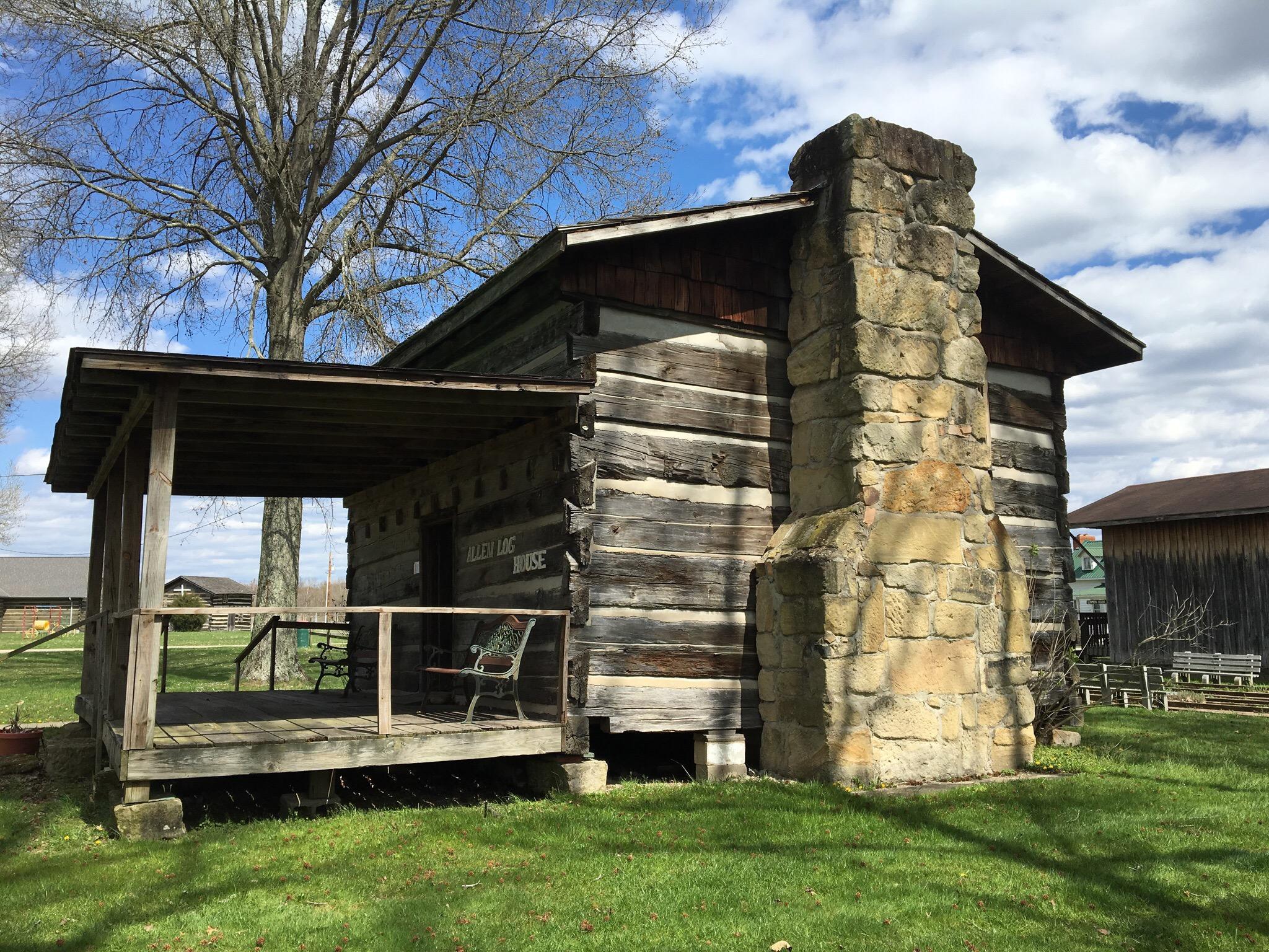
Places in Rutland
Dine and drink
Eat and drink your way through town.


Can't-miss activities
Culture, natural beauty, and plain old fun.


Places to stay
Hang your (vacation) hat in a place that’s just your style.