Kenton, OH
Kenton Map
Kenton is a city in and the county seat of Hardin County, Ohio, United States, along the Scioto River. The population was 8,336 at the 2000 census. It is named for Kentucky/Ohio frontiersman, Simon Kenton. It is the seat of Hardin County.
Kenton is located at 40°38?48?N 83°36?31?W / 40.64667°N 83.60861°W / 40.64667; -83.60861 (40.646555, -83.608706).
According to the United States Census Bureau, the city has a total area of 4.6 square miles (11.8 km²), of which, 4.5 square miles (11.6 km²) of it is land and 0.1 square miles (0.2 km²) of it (1.97%) is water.
Nearby cities include Forest, Belle Center, La Rue, Alger, Rushsylvania.
Places in Kenton
Dine and drink
Eat and drink your way through town.


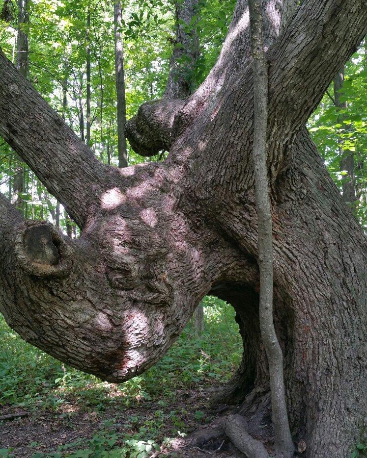
Can't-miss activities
Culture, natural beauty, and plain old fun.

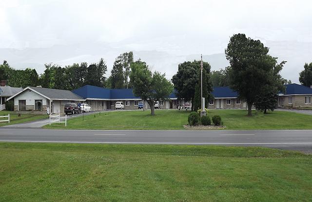
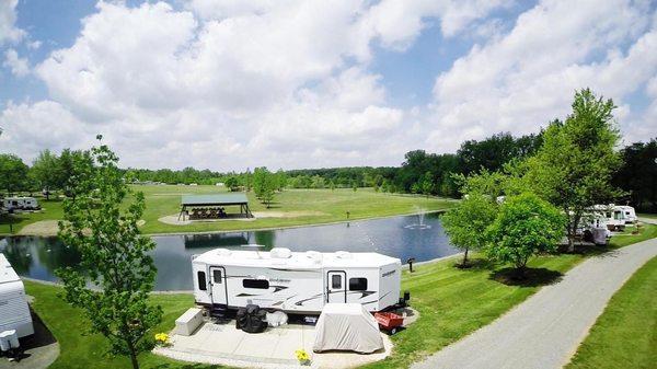
Places to stay
Hang your (vacation) hat in a place that’s just your style.