


Glendale, OH
Glendale, OH 45246
Glendale Map
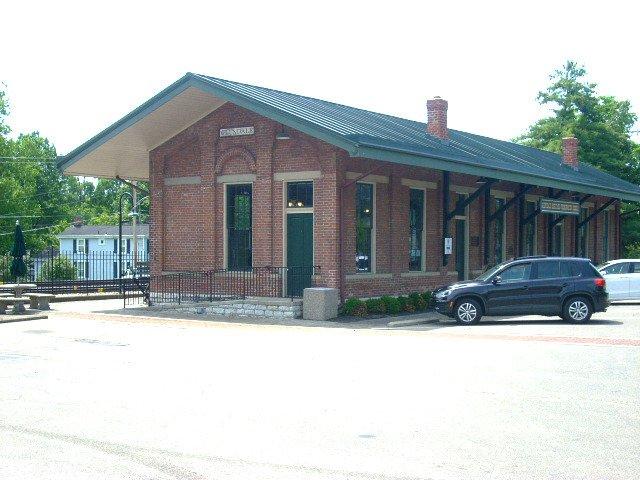
Glendale is a village in Hamilton County, Ohio, United States. The population was 2,188 at the 2000 census. It is site of the Glendale Historic District.
Glendale is located at 39°16?17?N 84°27?50?W / 39.27139°N 84.46389°W / 39.27139; -84.46389 (39.271258, -84.463957).
According to the United States Census Bureau, the village has a total area of 1.7 square miles (4.3 km²), all of it land.
Nearby cities include Springdale, Miamiville, Ross, Mason, Camp Dennison.
Places in Glendale
Dine and drink
Eat and drink your way through town.


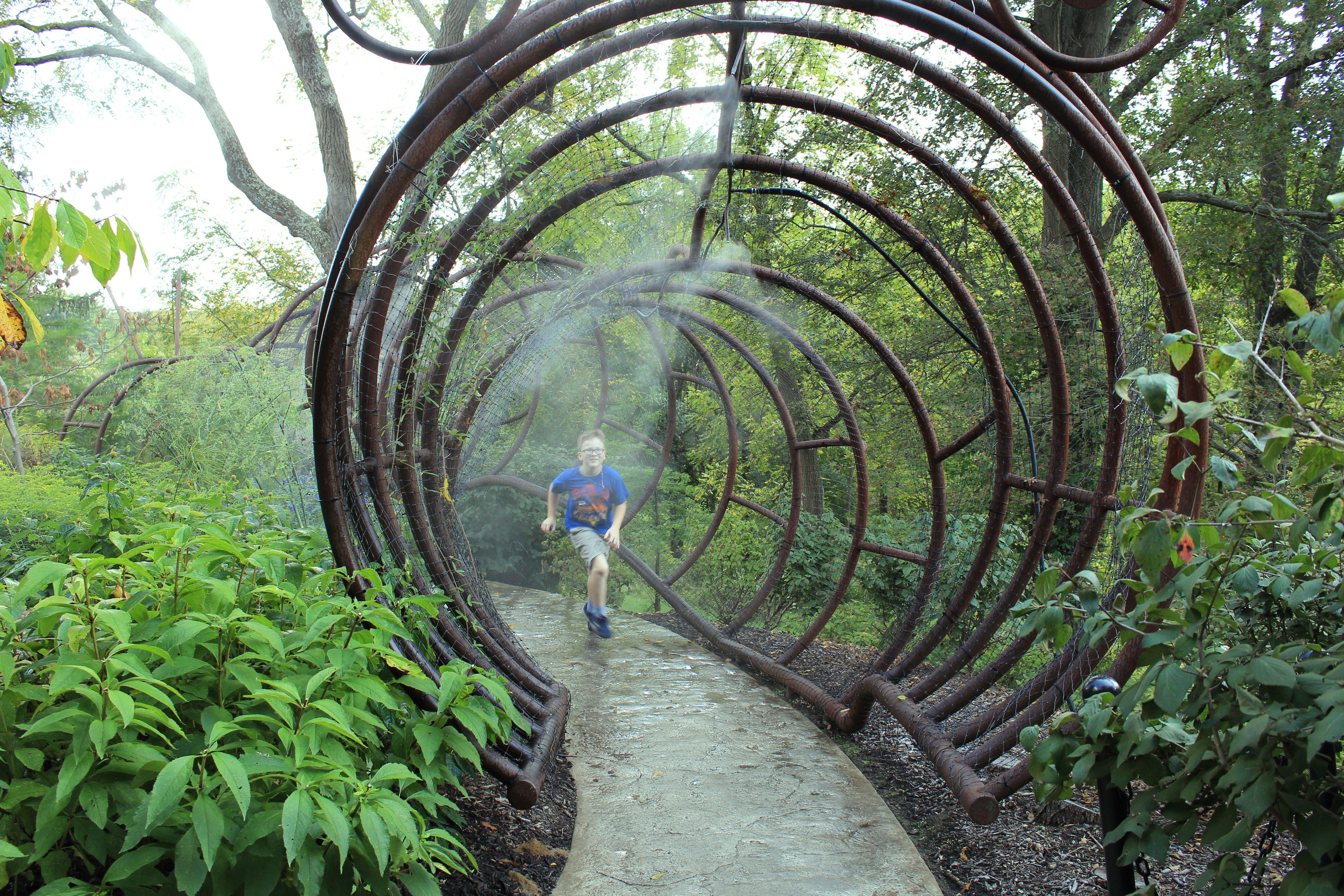
Can't-miss activities
Culture, natural beauty, and plain old fun.


Places to stay
Hang your (vacation) hat in a place that’s just your style.


See a problem?