Farmersville, OH
Farmersville, OH Map
Farmersville is a US city in Montgomery County in the state of Ohio. Located at the longitude and latitude of -84.425800, 39.679700 and situated at an elevation of 268 meters. In the 2020 United States Census, Farmersville, OH had a population of 975 people. Farmersville is in the Eastern Standard Time timezone at Coordinated Universal Time (UTC) -5. Find directions to Farmersville, OH, browse local businesses, landmarks, get current traffic estimates, road conditions, and more.
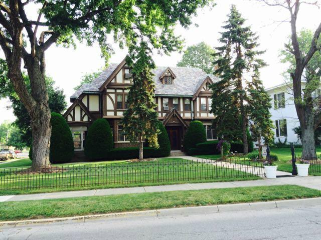
Farmersville, Ohio, is a quaint village with a rich agricultural heritage that is evident in its serene landscapes and historic charm. Known primarily for its close-knit community and rural atmosphere, the village offers a peaceful retreat from the hustle and bustle of urban life. Visitors can explore Farmersville's well-preserved architecture and enjoy the simplicity of small-town life. The community often gathers at local events and festivals that celebrate its farming roots, providing a glimpse into the area's traditions and lifestyle.
Among the notable spots in Farmersville is the Farmersville-Jackson Township History Museum, where visitors can delve into the local history through a collection of artifacts and exhibits. The village also boasts several parks and recreational areas, perfect for those looking to enjoy nature and outdoor activities. Whether you're passing through or planning a quiet day out, Farmersville offers a charming slice of Americana that highlights the enduring spirit of rural Ohio.
Nearby cities include: Germantown, OH, New Lebanon, OH, Gratis, OH, Lanier, OH, West Alexandria, OH, Miamisburg, OH, Carlisle, OH, West Elkton, OH, West Carrollton, OH, Franklin, OH.
Places in Farmersville
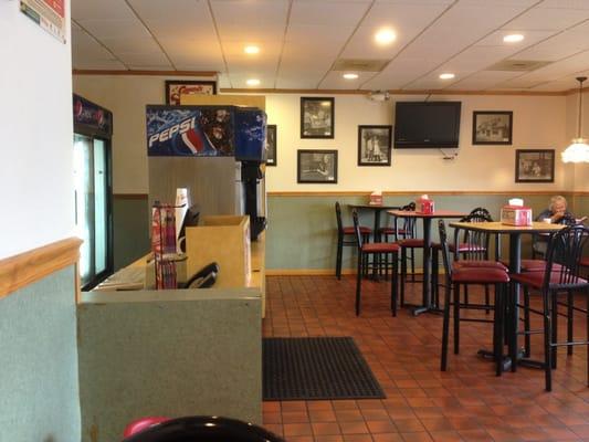
Dine and drink
Eat and drink your way through town.


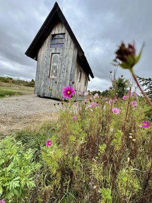
Can't-miss activities
Culture, natural beauty, and plain old fun.


Places to stay
Hang your (vacation) hat in a place that’s just your style.