


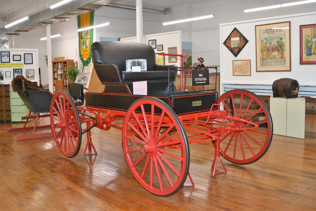
Cloverdale, OH
Cloverdale, OH 45827
Cloverdale Map
Cloverdale is a village in Putnam County, Ohio, United States. The population was 201 at the 2000 census.
Cloverdale is located at 41°1?11?N 84°18?18?W / 41.01972°N 84.305°W / 41.01972; -84.305 (41.019658, -84.304955).
According to the United States Census Bureau, the village has a total area of 0.6 square miles (1.6 km²), all of it land.
Nearby cities include Miller City, Glandorf, Delphos, Ottawa, Middle Point.
Places in Cloverdale
Dine and drink
Eat and drink your way through town.


Can't-miss activities
Culture, natural beauty, and plain old fun.

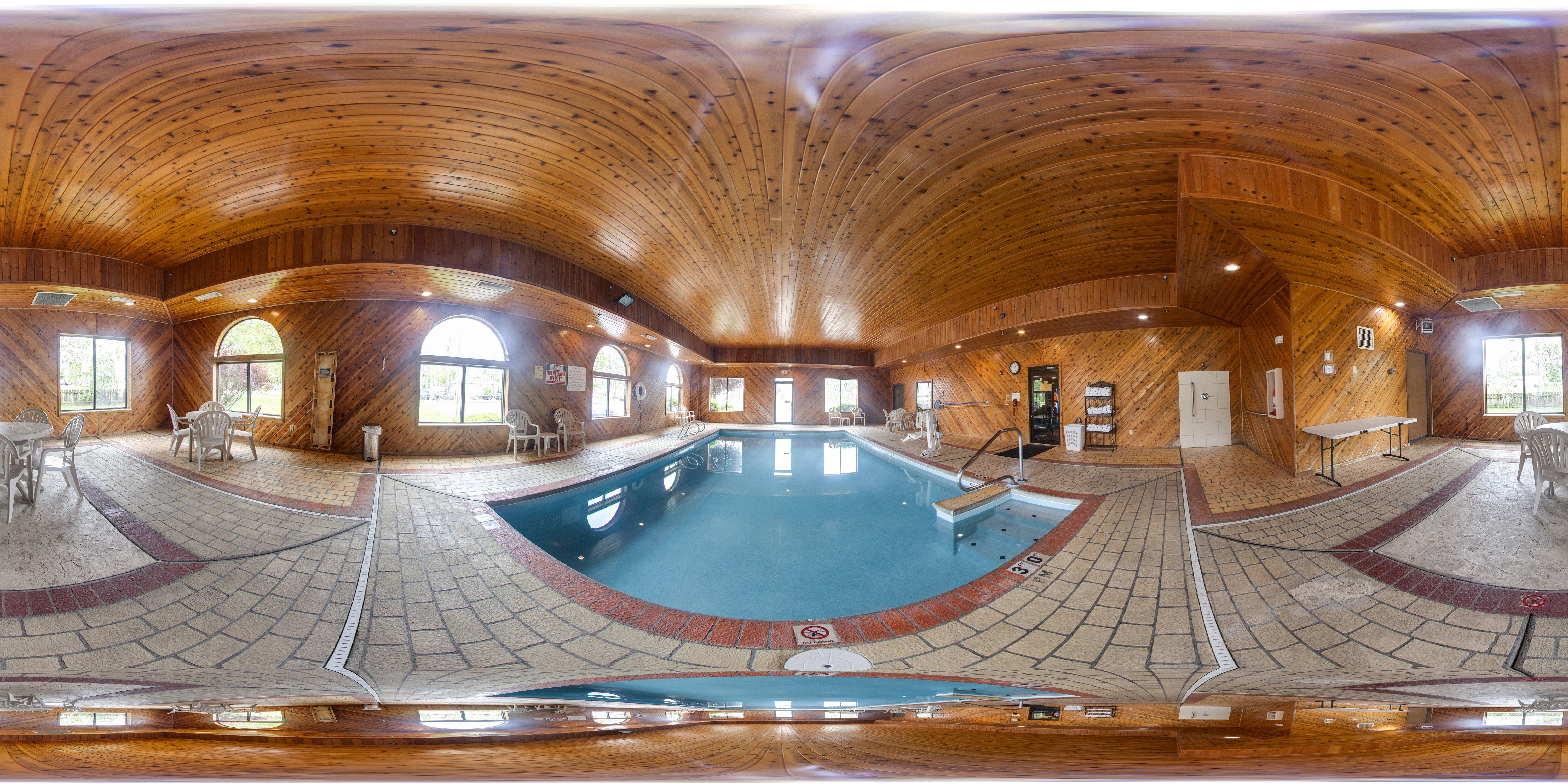
Places to stay
Hang your (vacation) hat in a place that’s just your style.


See a problem?