Cleves, OH
Cleves, OH Map
Cleves is a US city in Hamilton County in the state of Ohio. Located at the longitude and latitude of -84.750300, 39.161100 and situated at an elevation of 151 meters. In the 2020 United States Census, Cleves, OH had a population of 3,414 people. Cleves is in the Eastern Standard Time timezone at Coordinated Universal Time (UTC) -5. Find directions to Cleves, OH, browse local businesses, landmarks, get current traffic estimates, road conditions, and more.
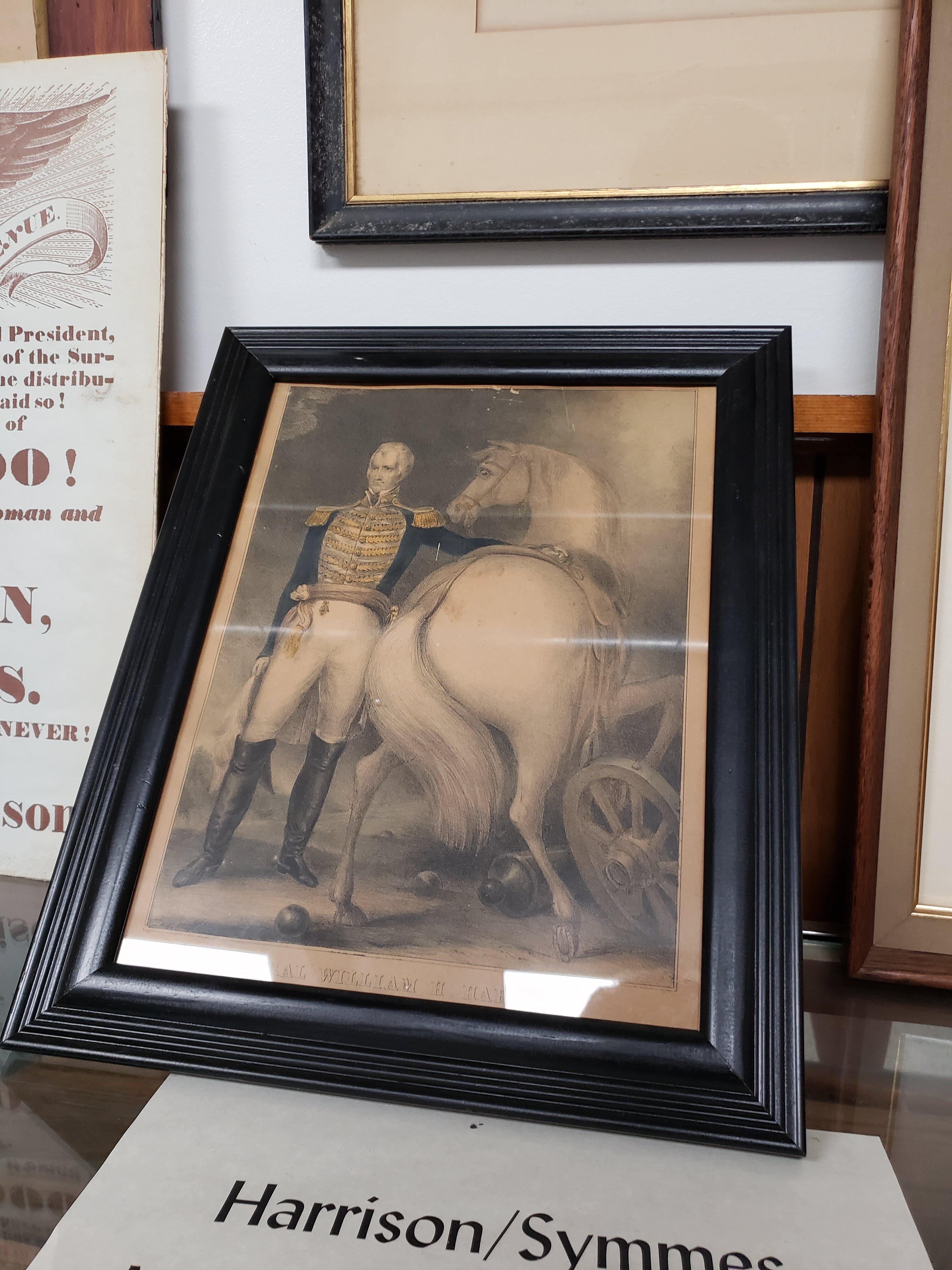
Cleves, Ohio, is a small village with a rich historical backdrop that dates back to the early 19th century. Named after John Cleves Symmes, a prominent early settler and judge, the village is nestled along the banks of the Great Miami River. This charming locale is known for its warm community atmosphere and scenic landscapes. A notable historical site is the William Henry Harrison Tomb, the final resting place of the ninth President of the United States, which offers a glimpse into the nation’s past and is a point of interest for history enthusiasts.
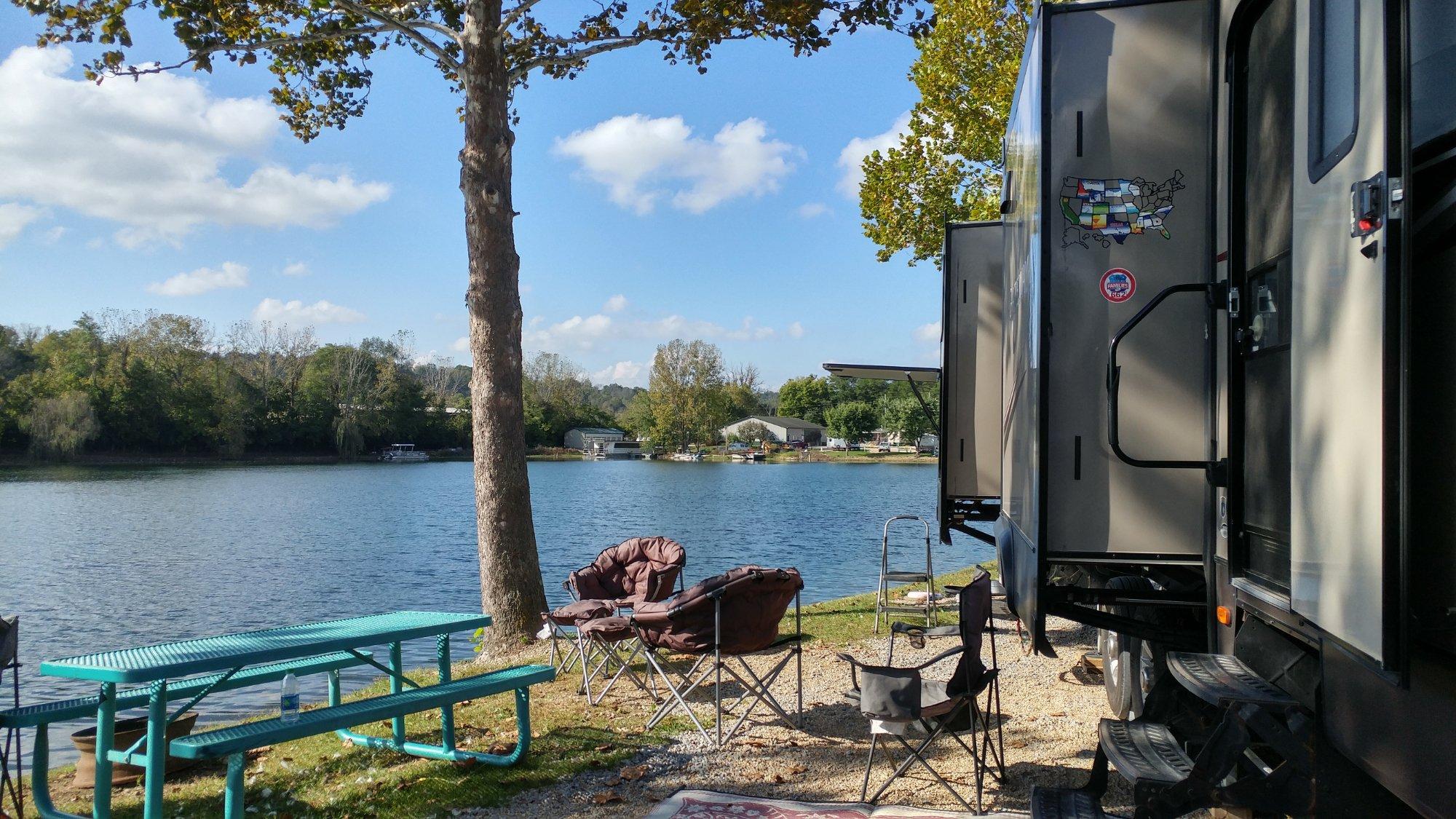
Visitors to Cleves can enjoy a variety of recreational activities, particularly in the areas surrounding the Miami Whitewater Forest. This expansive park provides opportunities for hiking, picnicking, and enjoying nature trails, making it a popular spot for outdoor enthusiasts. Cleves also offers a quaint downtown area with local shops and eateries that reflect the village’s inviting character. Whether you're looking to delve into history or simply enjoy a peaceful day in nature, Cleves offers a quiet yet enriching experience.
Nearby cities include: North Bend, OH, Hooven, OH, Addyston, OH, Grandview, OH, Miamitown, OH, Mack, OH, Bridgetown, OH, Greendale, IN, Miller, IN, Hebron, KY.
Places in Cleves
Dine and drink
Eat and drink your way through town.


Can't-miss activities
Culture, natural beauty, and plain old fun.


Places to stay
Hang your (vacation) hat in a place that’s just your style.