


Catawba, OH
Catawba, OH 43010
Catawba Map
Catawba is a village in Clark County, Ohio, United States. The population was 312 at the 2000 census. It is part of the Springfield, Ohio Metropolitan Statistical Area.
Catawba is located at 40°0?0?N 83°37?20?W / 40°N 83.62222°W / 40; -83.62222 (39.999900, -83.622185).
According to the United States Census Bureau, the village has a total area of 0.3 square miles (0.7 km²), all of it land.
Nearby cities include Urbana, Springfield, South Charleston, London, Woodstock.
Places in Catawba
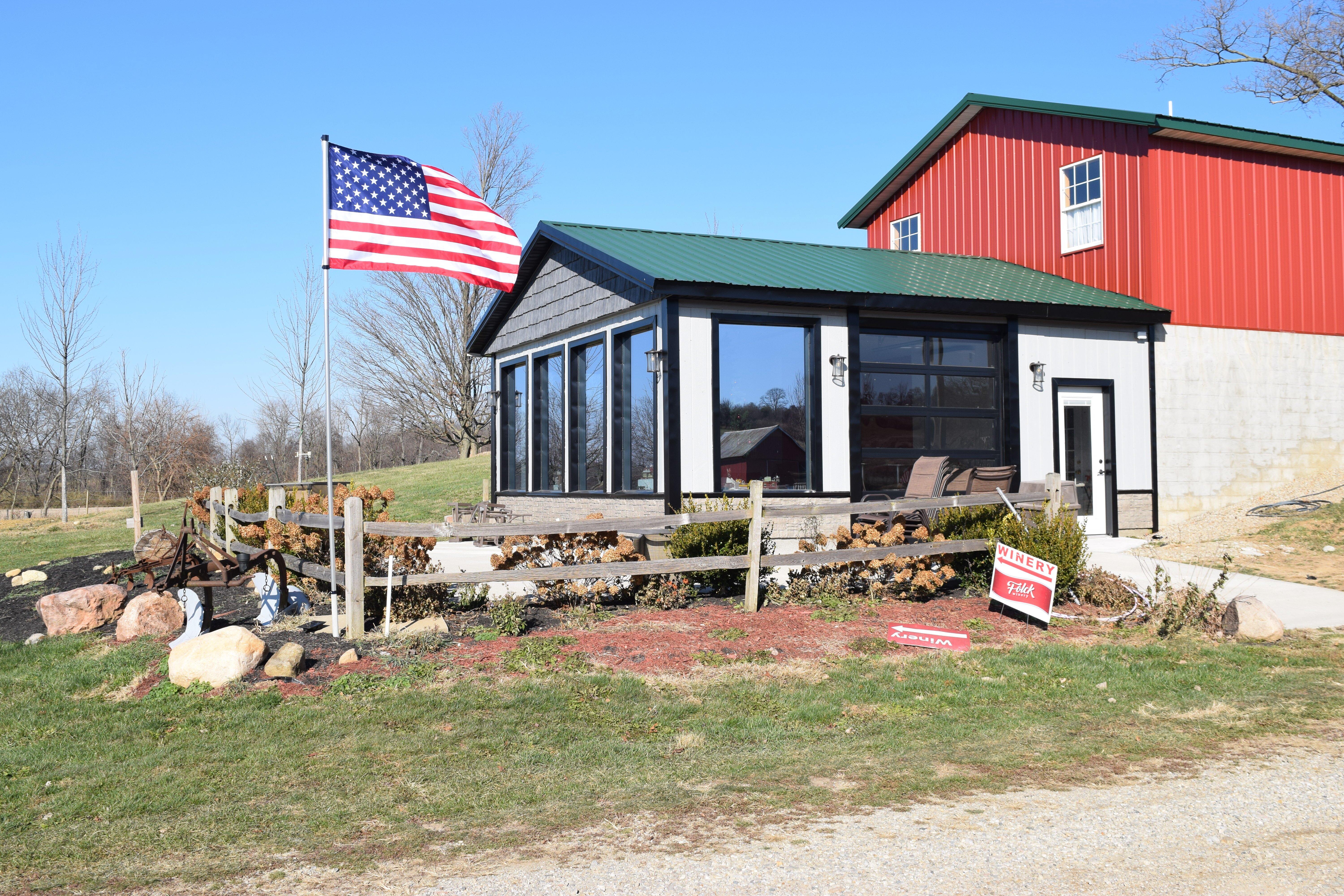
Dine and drink
Eat and drink your way through town.


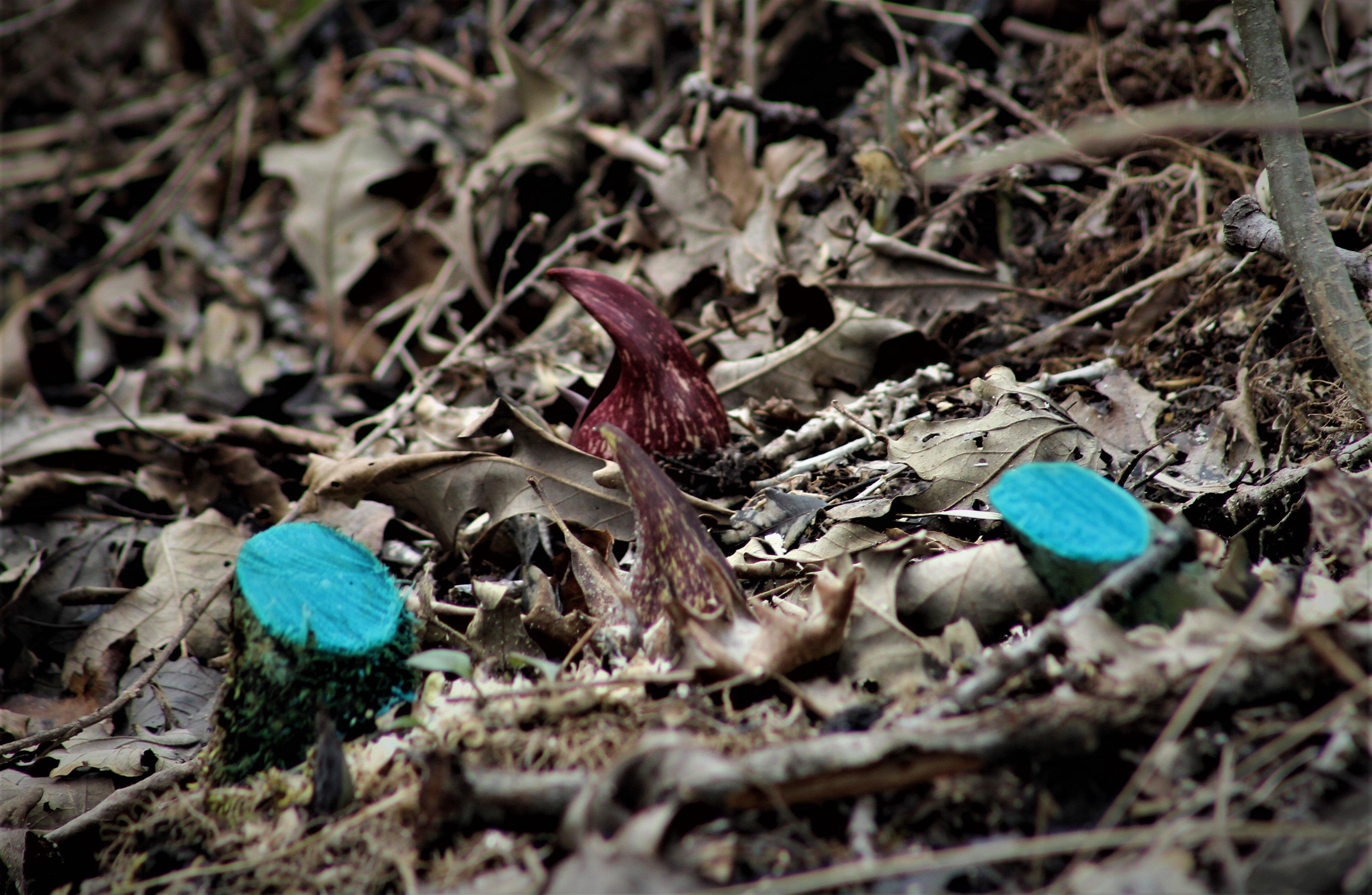
Can't-miss activities
Culture, natural beauty, and plain old fun.


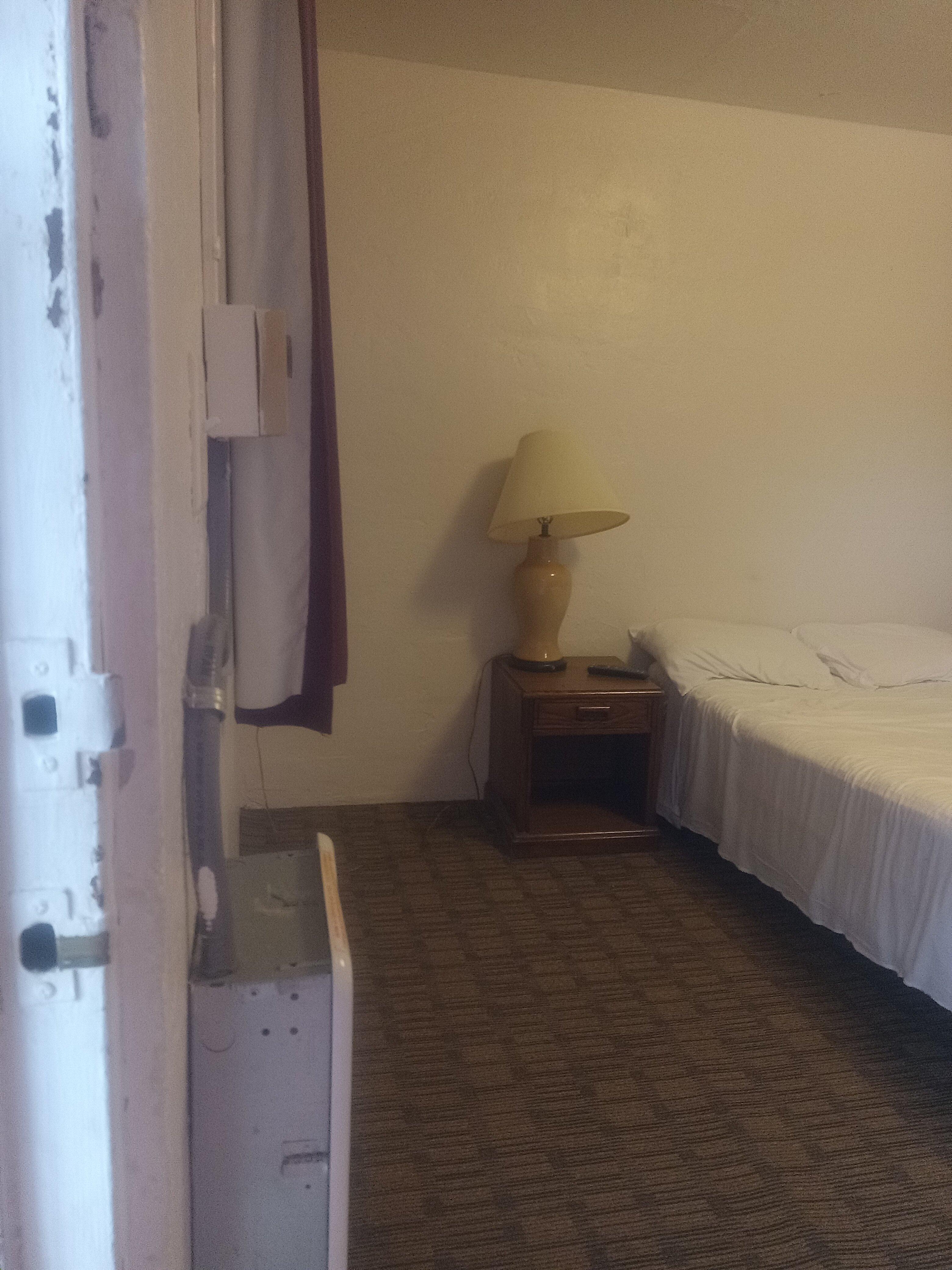
Places to stay
Hang your (vacation) hat in a place that’s just your style.


See a problem?