


Castalia, OH
Castalia, OH 44824
Castalia Map
Castalia is a village in Erie County, Ohio, United States. The population was 935 at the 2000 census. It is part of the Sandusky, Ohio Metropolitan Statistical Area.
Castalia is located at 41°23?59?N 82°48?26?W / 41.39972°N 82.80722°W / 41.39972; -82.80722 (41.399805, -82.807176).
According to the United States Census Bureau, the village has a total area of 1.0 square miles (2.7 km²), of which, 1.0 square miles (2.7 km²) of it is land and 0.95% is water.
Nearby cities include Port Clinton, Clyde, Monroeville, Milan, Huron.
Places in Castalia
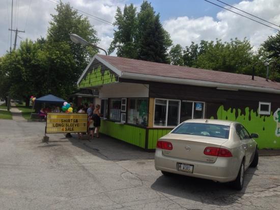
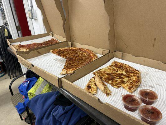
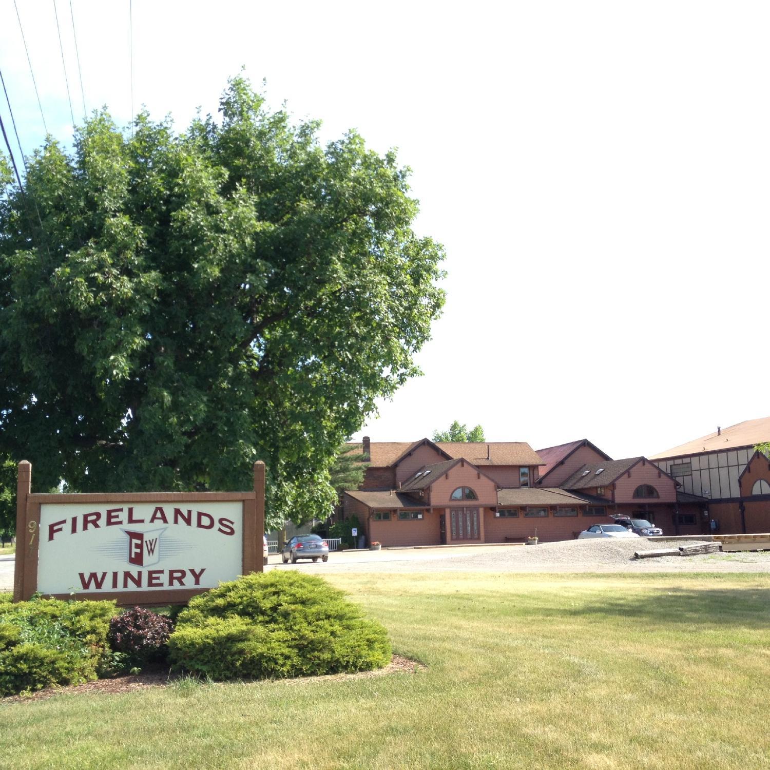
Dine and drink
Eat and drink your way through town.


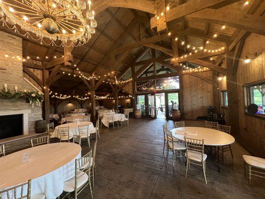
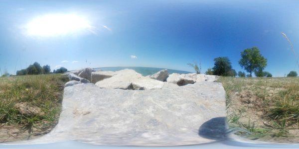
Can't-miss activities
Culture, natural beauty, and plain old fun.

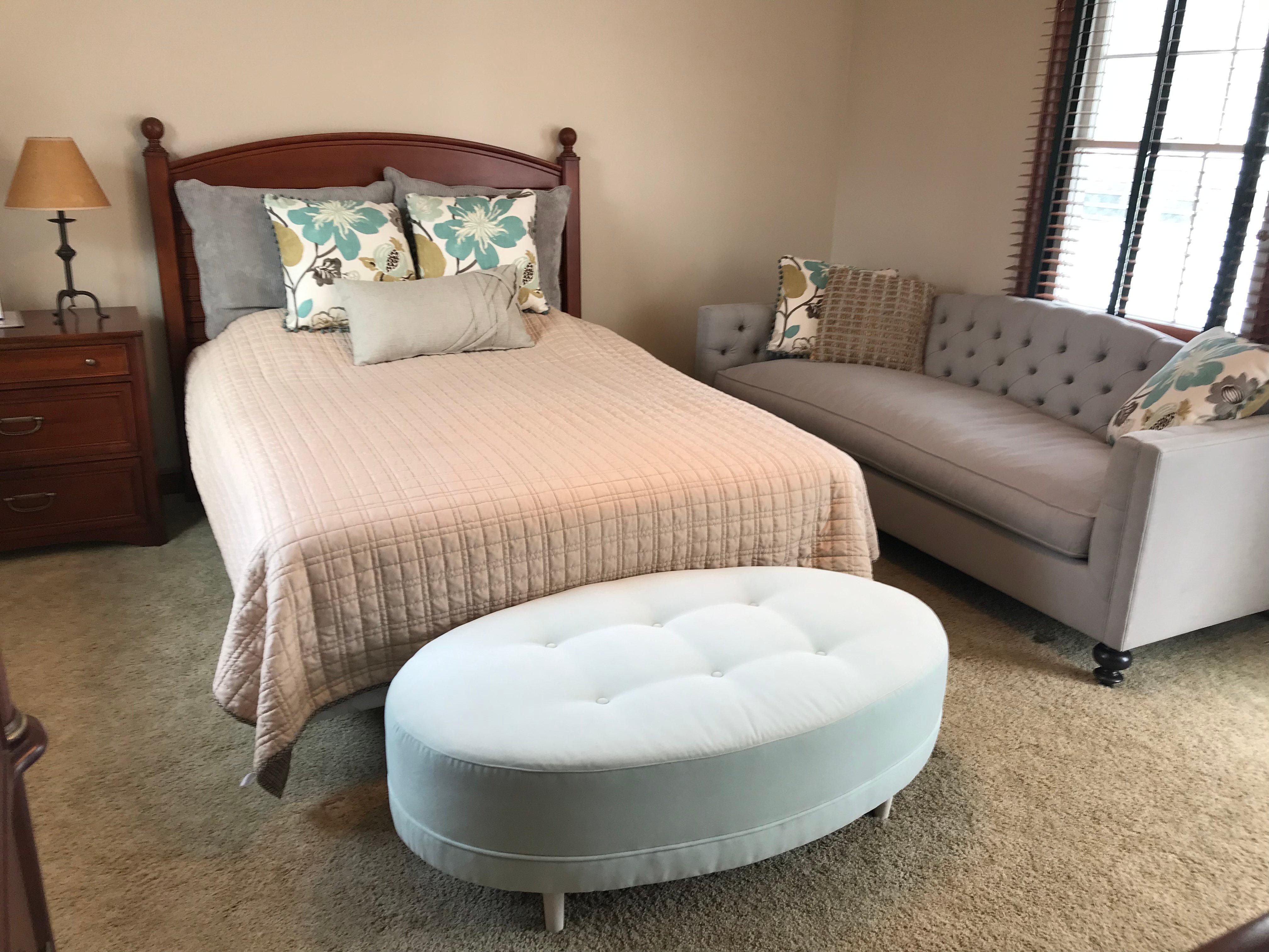
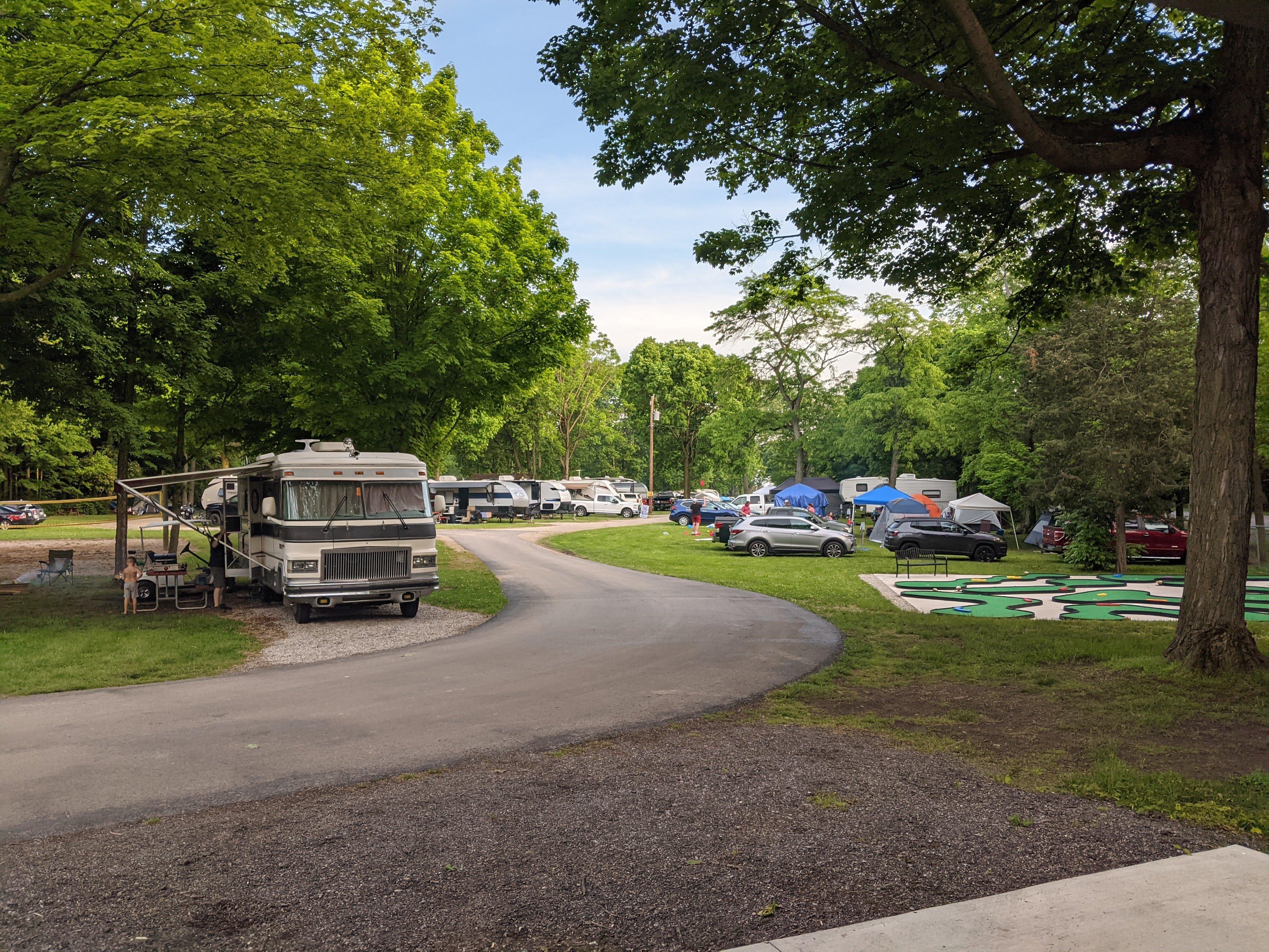
Places to stay
Hang your (vacation) hat in a place that’s just your style.

See a problem?