


Butler, OH
Butler, OH
Butler Map
Butler is a village in Richland County in the U.S. state of Ohio. It is part of the Mansfield, Ohio Metropolitan Statistical Area. The population was 921 at the 2000 census.
Butler is located at 40°35?20?N 82°25?32?W / 40.58889°N 82.42556°W / 40.58889; -82.42556 (40.588906, -82.425627), along the Clear Fork of the Mohican River.
According to the United States Census Bureau, the village has a total area of 1.1 square miles (2.8 km²), all of it land.
Nearby cities include Plymouth, Shelby, New Haven, Mansfield, North Fairfield.
Places in Butler
Dine and drink
Eat and drink your way through town.


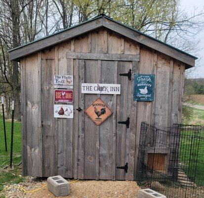
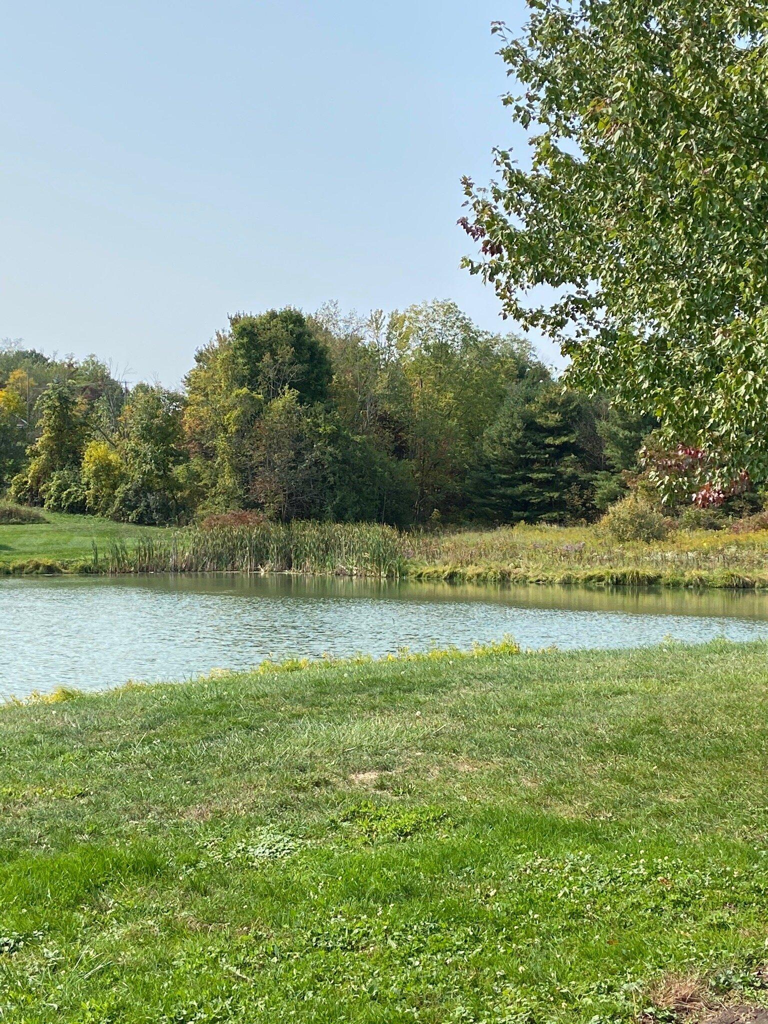
Can't-miss activities
Culture, natural beauty, and plain old fun.

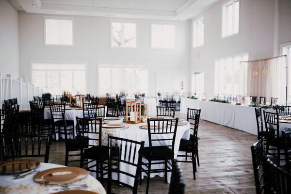
Places to stay
Hang your (vacation) hat in a place that’s just your style.


See a problem?