


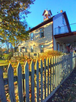
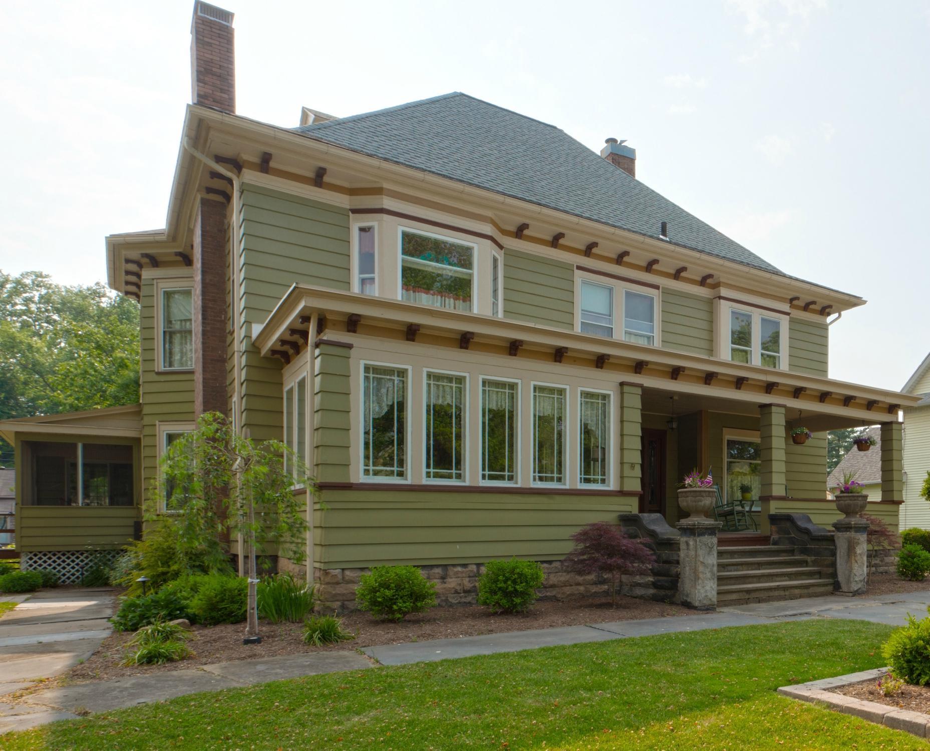
Bolivar, OH
Bolivar, OH 44612
Bolivar Map
Bolivar is a village in Tuscarawas County, Ohio, United States. The population was 894 at the 2000 census. Bolivar is also home to Fort Laurens, the only American Revolutionary War-era fort in what is now Ohio.
Bolivar is located at 40°39.0?N 81°27.3?W / 40.65°N 81.455°W / 40.65; -81.455 (40.6500, -81.4546), along the Tuscarawas River.
According to the United States Census Bureau, the village has a total area of 0.5 square miles (1.3 km²), of which, 0.5 square miles (1.3 km²) of it is land and 1.96% is water.
Nearby cities include Waynesburg, Massillon, Canton, New Philadelphia, Winesburg.
Places in Bolivar
Dine and drink
Eat and drink your way through town.


Can't-miss activities
Culture, natural beauty, and plain old fun.


Places to stay
Hang your (vacation) hat in a place that’s just your style.


See a problem?