


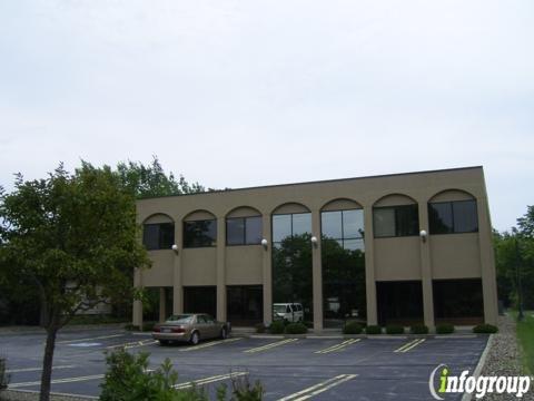
Aztech Engineering & Surveying
Aztech Engineering Surveying Co., Inc. is a reputable civil engineering surveying firm based in Valley View, OH. With over 25 years of field experience, they specialize in a wide range of services including residential subdivision development, commercial and industrial design site planning, and various types of surveys such as A.L.T.A. A.C.S.M. Surveys, Topographic Surveys, and Boundary Surveys.
Under the expert management of Stan R. Loch, P.E. and P.S., Aztech Engineering Surveying Co., Inc. is committed to delivering accurate, efficient, and competitively priced services. Their dedicated team of survey field crews and experienced office staff ensures on-time project delivery, meeting firm deadlines with a high-quality product.
Generated from the website
Also at this address


You might also like
Partial Data by Infogroup (c) 2025. All rights reserved.
Partial Data by Foursquare.