


Alexandria, OH
Alexandria, OH 43001
Alexandria Map
Alexandria is a village in Licking County, Ohio, United States. The population was 85 at the 2000 census.
Alexandria is located at 40°5?23?N 82°36?47?W / 40.08972°N 82.61306°W / 40.08972; -82.61306 (40.089812, -82.612943).
According to the United States Census Bureau, the village has a total area of 0.2 square miles (0.4 km²), all of it land.
Nearby cities include New Albany, Hebron, Newark, Buckeye Lake, Utica.
Places in Alexandria
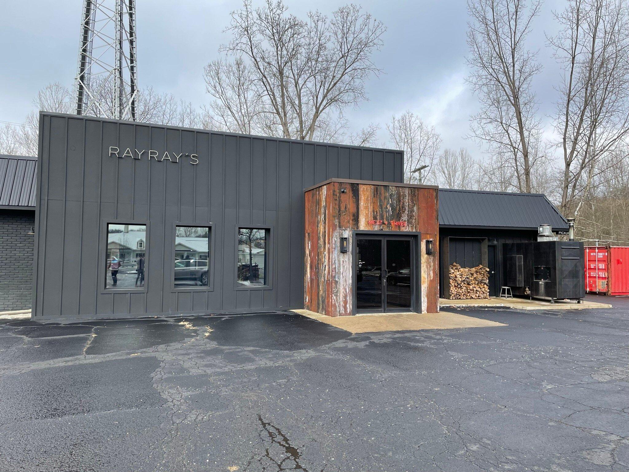
Dine and drink
Eat and drink your way through town.


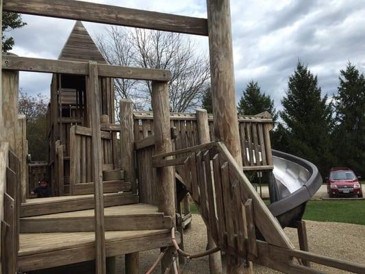
Can't-miss activities
Culture, natural beauty, and plain old fun.


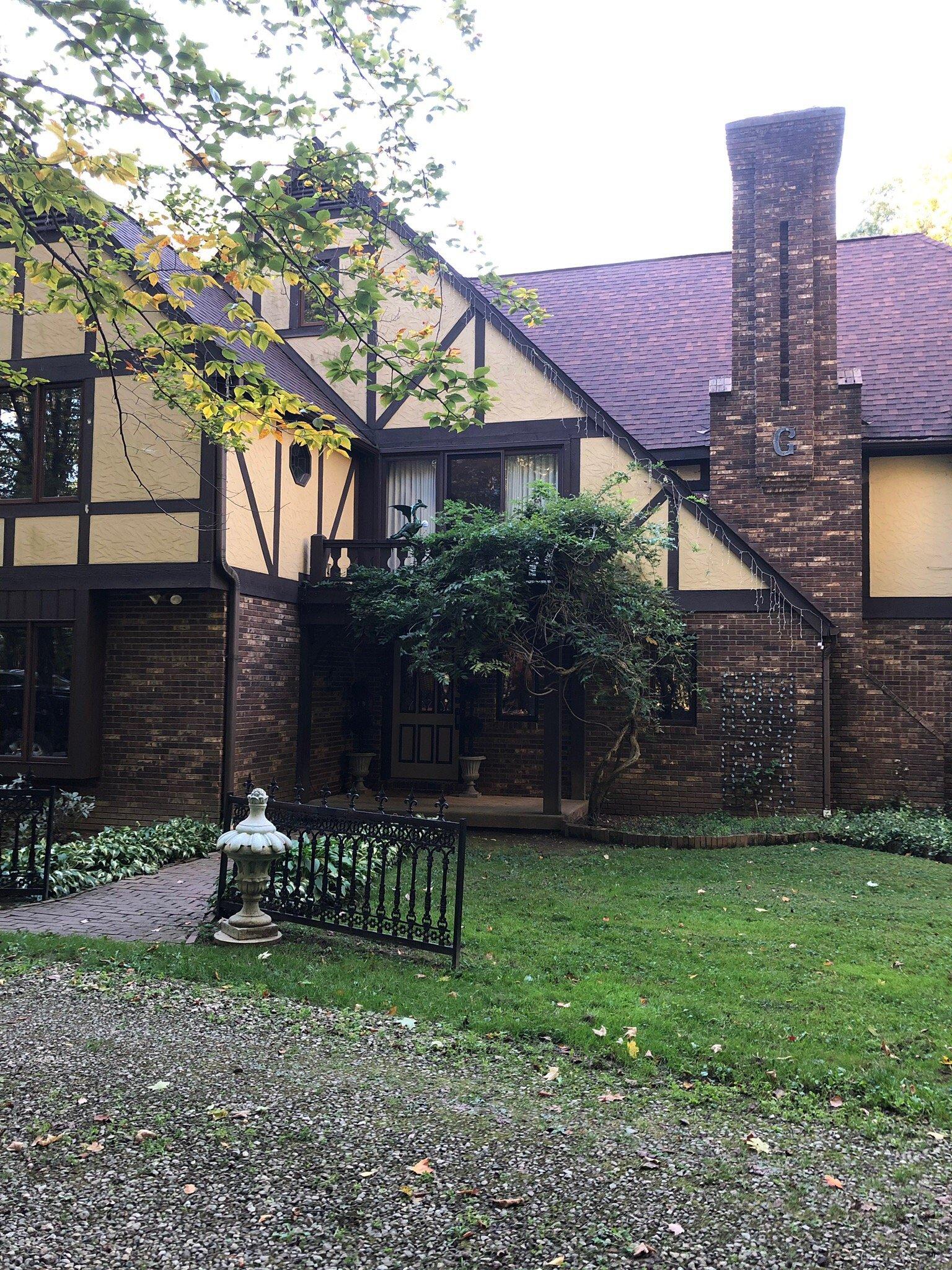
Places to stay
Hang your (vacation) hat in a place that’s just your style.


See a problem?