Ludden, ND
Ludden, ND Map
Ludden is a US city in Dickey County in the state of North Dakota. Located at the longitude and latitude of -98.126667, 46.009167 and situated at an elevation of 397 meters. In the 2020 United States Census, Ludden, ND had a population of 15 people. Ludden is in the Central Standard Time timezone at Coordinated Universal Time (UTC) -6. Find directions to Ludden, ND, browse local businesses, landmarks, get current traffic estimates, road conditions, and more.
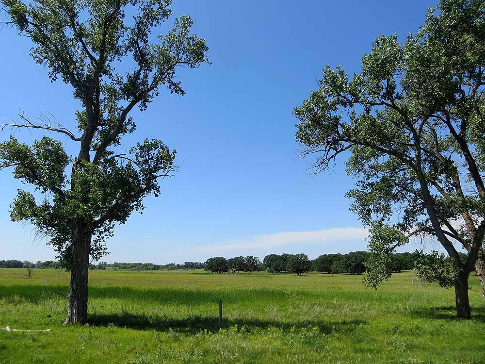
Ludden, located in the state of North Dakota, is a small and historically rich community that offers a glimpse into the quiet, rural life of the American Midwest. Known for its agricultural roots, Ludden is surrounded by vast expanses of farmland that produce a variety of crops, contributing to the area's agrarian economy. The town itself is characterized by its quaint charm and close-knit community, where local events and gatherings are a staple of life.
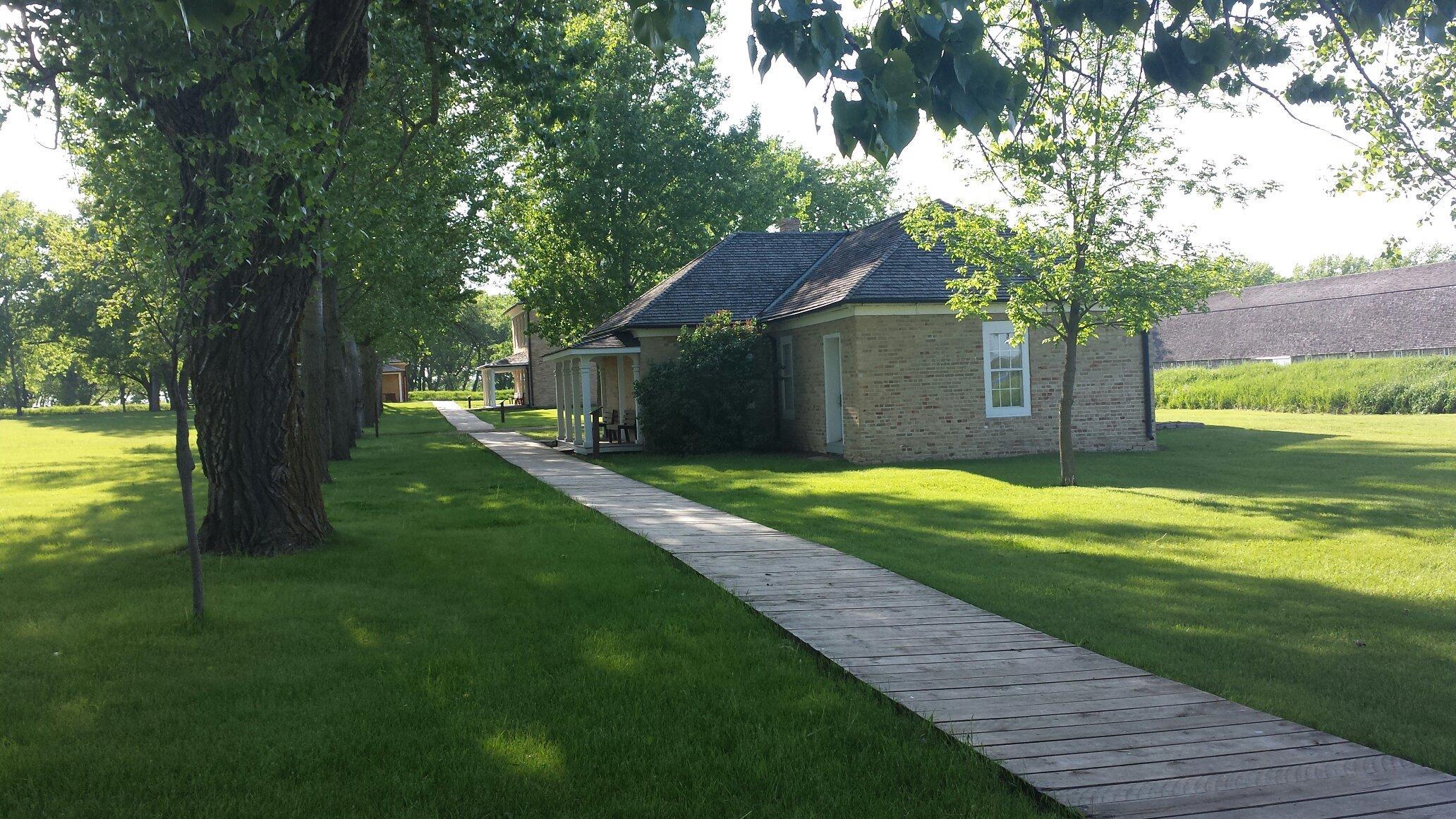
One of the notable historical landmarks in Ludden is the Ludden Town Hall, which serves as a reminder of the town's vibrant past and its role as a community hub. Visitors can also explore the nearby natural landscapes, which offer opportunities for outdoor activities such as birdwatching, hiking, and photography. Although Ludden may not boast the bustling attractions of larger cities, it provides a peaceful retreat for those looking to experience the serene beauty and simplicity of rural North Dakota.
Nearby cities include: Lovell, ND, Port Emma, ND, Riverdale, ND, Hudson, ND, Southwest, ND, Hecla, SD, Hecla, SD, Oakes, ND, Ada, ND, Jackson, ND.
Places in Ludden
Dine and drink
Eat and drink your way through town.


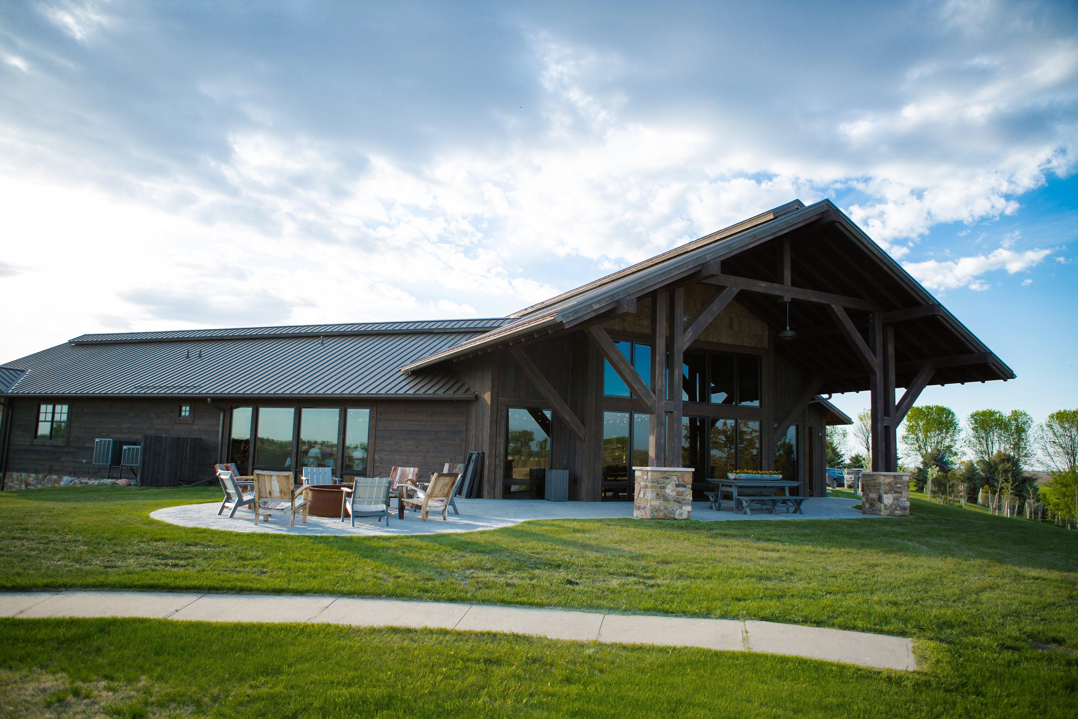
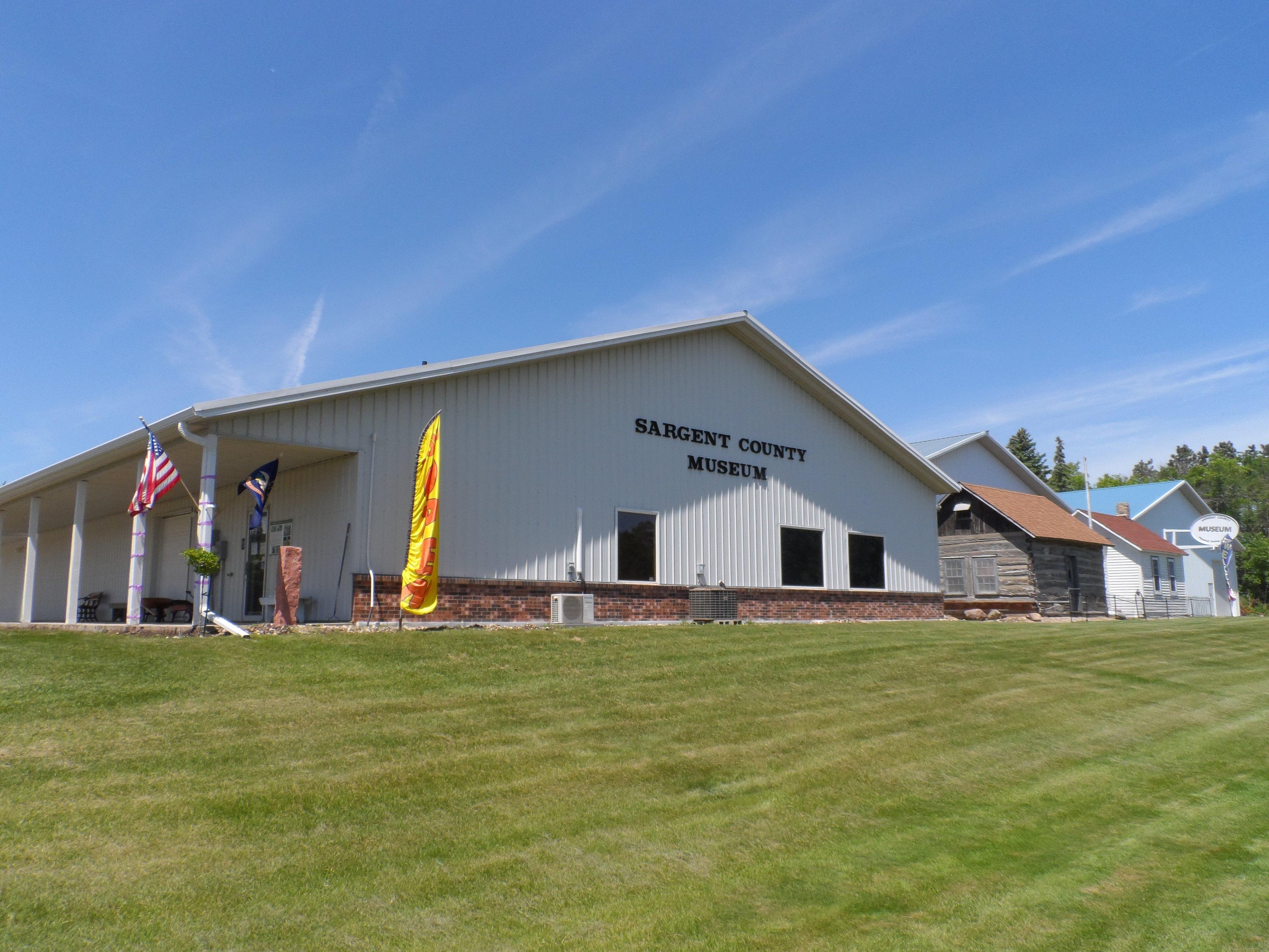
Can't-miss activities
Culture, natural beauty, and plain old fun.
Places to stay
Hang your (vacation) hat in a place that’s just your style.