


Leeds, ND
Leeds, ND 58346
Leeds Map
Leeds is a city in Benson County, North Dakota in the United States. The population was 427 at the 2010 census.
Leeds was founded in 1887 and named after Leeds, England. It was one of several sites along the Great Northern Railway's transcontinental route between Devils Lake and Minot that were named after places in England (the others were Berwick, Norwich, Penn, Rugby, Surrey, Tunbridge, and York).
Leeds is located at 48°17?22?N 99°26?20?W / 48.28944°N 99.43889°W / 48.28944; -99.43889 (48.289356, -99.438965).
Nearby cities include Minnewaukan, Cando, Wolford, York.
Places in Leeds
Dine and drink
Eat and drink your way through town.


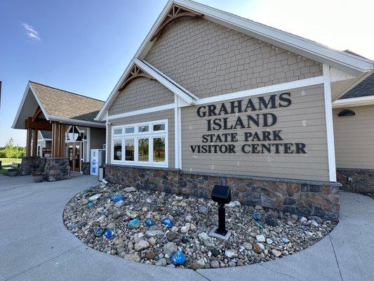
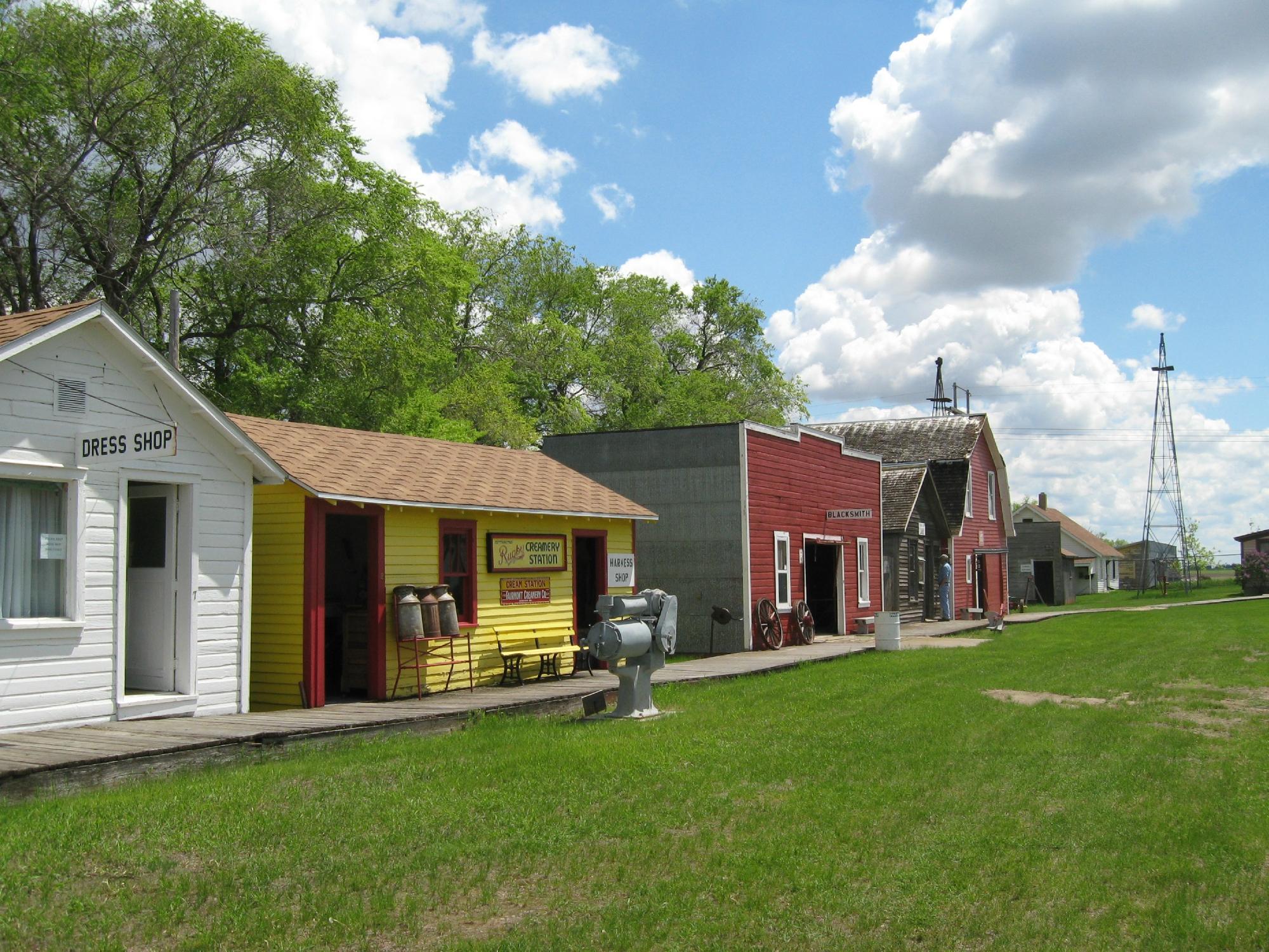
Can't-miss activities
Culture, natural beauty, and plain old fun.

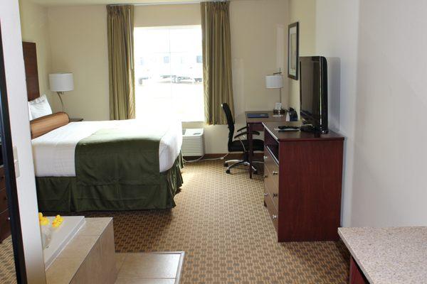
Places to stay
Hang your (vacation) hat in a place that’s just your style.


See a problem?