Stallings, NC
Stallings, NC Map
Stallings is a US city in Union County in the state of North Carolina. Located at the longitude and latitude of -80.686667, 35.089444 and situated at an elevation of 233 meters. In the 2020 United States Census, Stallings, NC had a population of 16,112 people. Stallings is in the Eastern Standard Time timezone at Coordinated Universal Time (UTC) -5. Find directions to Stallings, NC, browse local businesses, landmarks, get current traffic estimates, road conditions, and more.
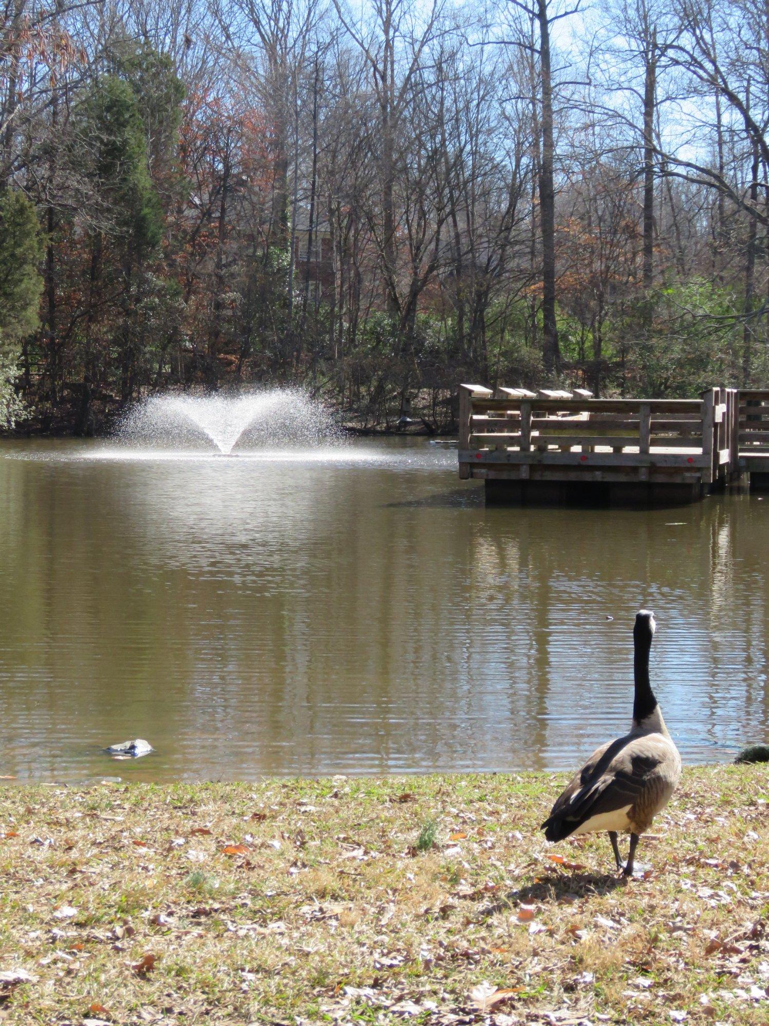
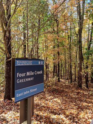
Stallings, located in the state of North Carolina, is a charming town known for its family-friendly atmosphere and community-oriented spirit. The town boasts several parks and recreational areas, making it an ideal destination for outdoor enthusiasts. One of the most popular spots is Stallings Municipal Park, which offers a variety of amenities including playgrounds, walking trails, and picnic areas. The park is a hub for local events and gatherings, providing residents and visitors with a chance to enjoy the scenic surroundings and engage in community activities.
Historically, Stallings has grown from its roots as a small farming community into a thriving town while maintaining its quaint charm. The town's history is reflected in its well-preserved architecture and the sense of tradition that pervades the community. The annual Stallings Fest is a highlight on the town's calendar, celebrating local culture with music, food, and entertainment. Visitors to Stallings can enjoy a peaceful atmosphere while exploring the local shops and eateries that offer a taste of the town's hospitable nature.
Nearby cities include: Indian Trail, NC, Matthews, NC, Lake Park, NC, Hemby Bridge, NC, Wesley Chapel, NC, Weddington, NC, Mint Hill, NC, Unionville, NC, Marvin, NC, Monroe, NC.
Places in Stallings
Dine and drink
Eat and drink your way through town.


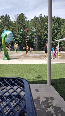
Can't-miss activities
Culture, natural beauty, and plain old fun.

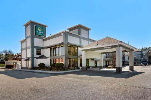
Places to stay
Hang your (vacation) hat in a place that’s just your style.