


Selma, NC
Selma, NC 27576
Selma Map
Selma is a town in Johnston County, North Carolina, United States. In 2007, the estimated population was 7,008. Selma is located in North Carolina's Inner Banks region.
Selma is located at 35°32?13?N 78°17?5?W / 35.53694°N 78.28472°W / 35.53694; -78.28472 (35.536982, -78.284642).
According to the United States Census Bureau, the town has a total area of 3.2 square miles (8.29 km²), all of it land.
Nearby cities include Four Oaks, Clayton, Pikeville, Lucama, Fremont.
Places in Selma
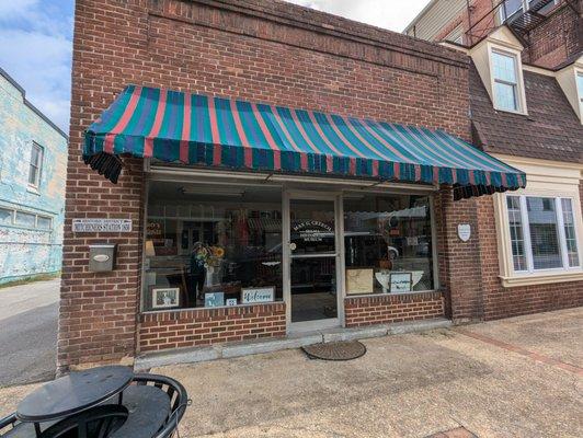
Dine and drink
Eat and drink your way through town.


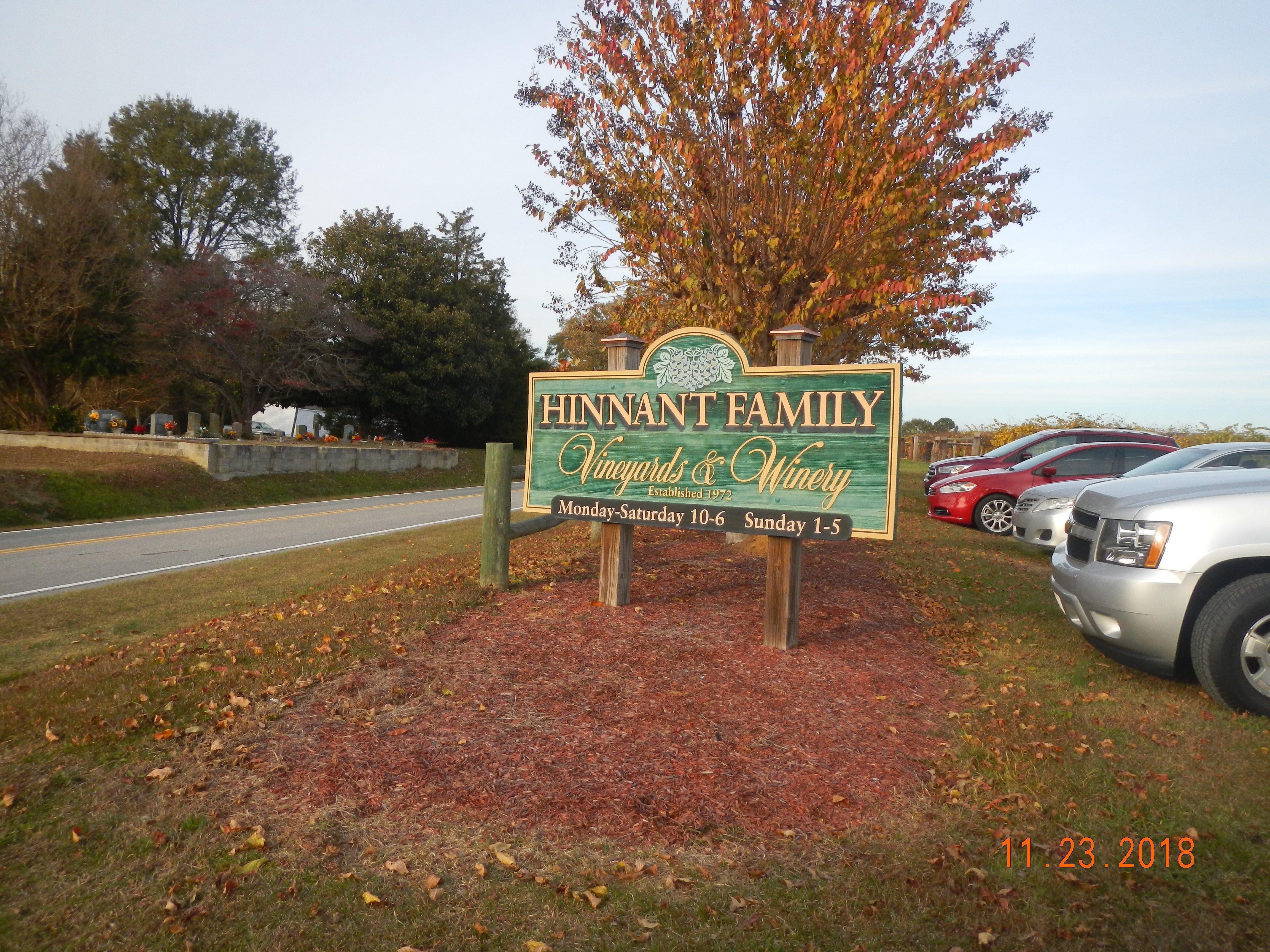
Can't-miss activities
Culture, natural beauty, and plain old fun.


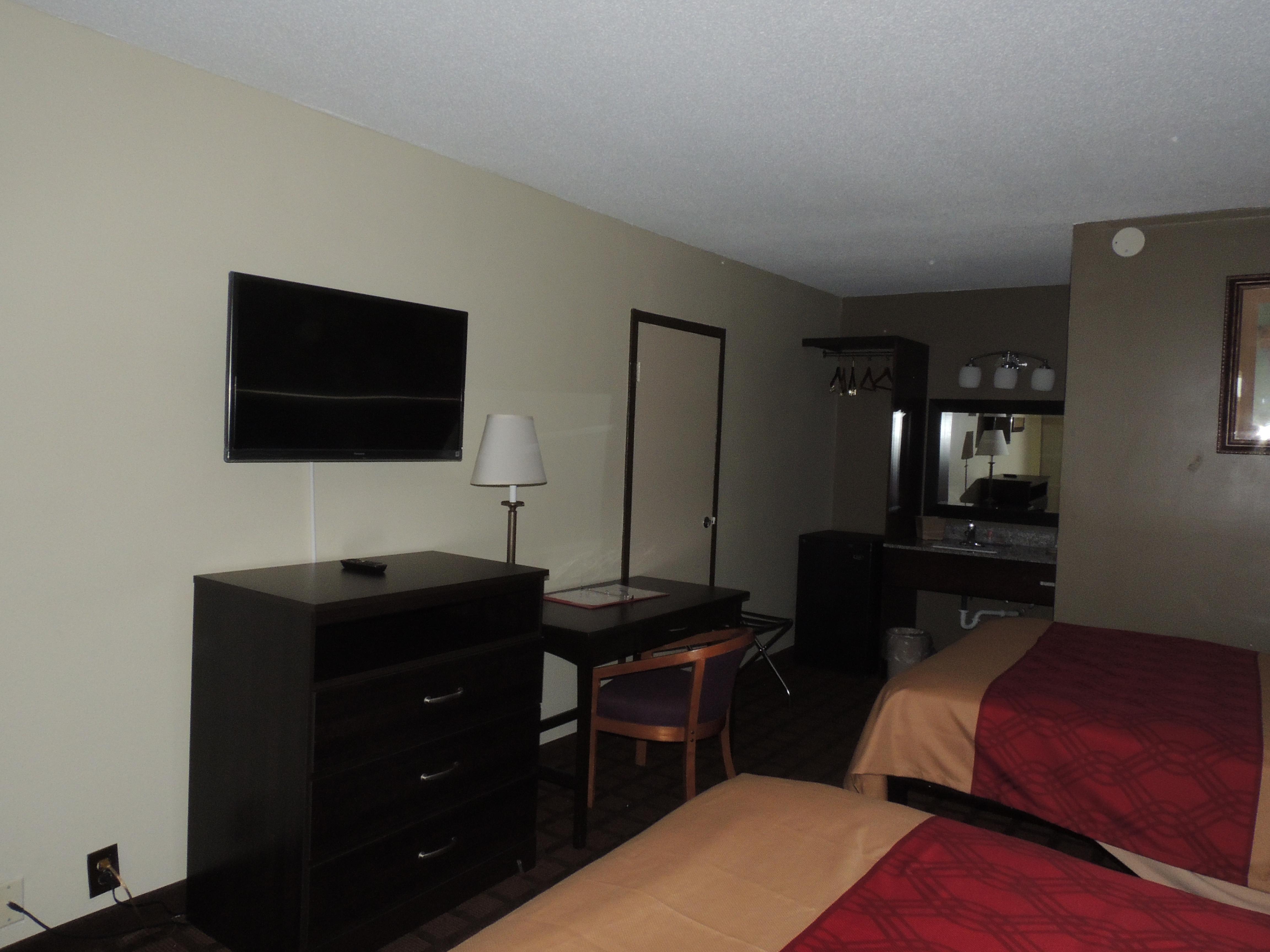
Places to stay
Hang your (vacation) hat in a place that’s just your style.


See a problem?