Casar, NC
Casar, NC Map
Casar is a US city in Cleveland County in the state of North Carolina. Located at the longitude and latitude of -81.616100, 35.514400 and situated at an elevation of 348 meters. In the 2020 United States Census, Casar, NC had a population of 305 people. Casar is in the Eastern Standard Time timezone at Coordinated Universal Time (UTC) -5. Find directions to Casar, NC, browse local businesses, landmarks, get current traffic estimates, road conditions, and more.
Casar, North Carolina, is a small town with a rich rural charm and a strong sense of community. Known for its serene landscapes and a slower pace of life, Casar offers a peaceful retreat from the hustle and bustle of larger cities. The town's history is deeply rooted in agriculture, which continues to play a significant role in the area's culture and economy. Visitors and locals alike enjoy the scenic beauty of the surrounding countryside, making it a great spot for those who appreciate the tranquility of rural settings.
While Casar may not boast a plethora of tourist attractions, it is known for its local parks and community events that bring residents together. One popular spot is the Casar Park, which provides a space for outdoor activities and community gatherings. The town also celebrates its heritage with various local events throughout the year, reflecting the tight-knit community spirit. For those interested in exploring off-the-beaten-path destinations, Casar offers a glimpse into the authentic rural lifestyle of North Carolina.
Nearby cities include: Belwood, NC, Laurel Hill, NC, Lawndale, NC, Fallston, NC, Kingstown, NC, Salem, NC, Lattimore, NC, Waco, NC, Ellenboro, NC, Mooresboro, NC.
Places in Casar
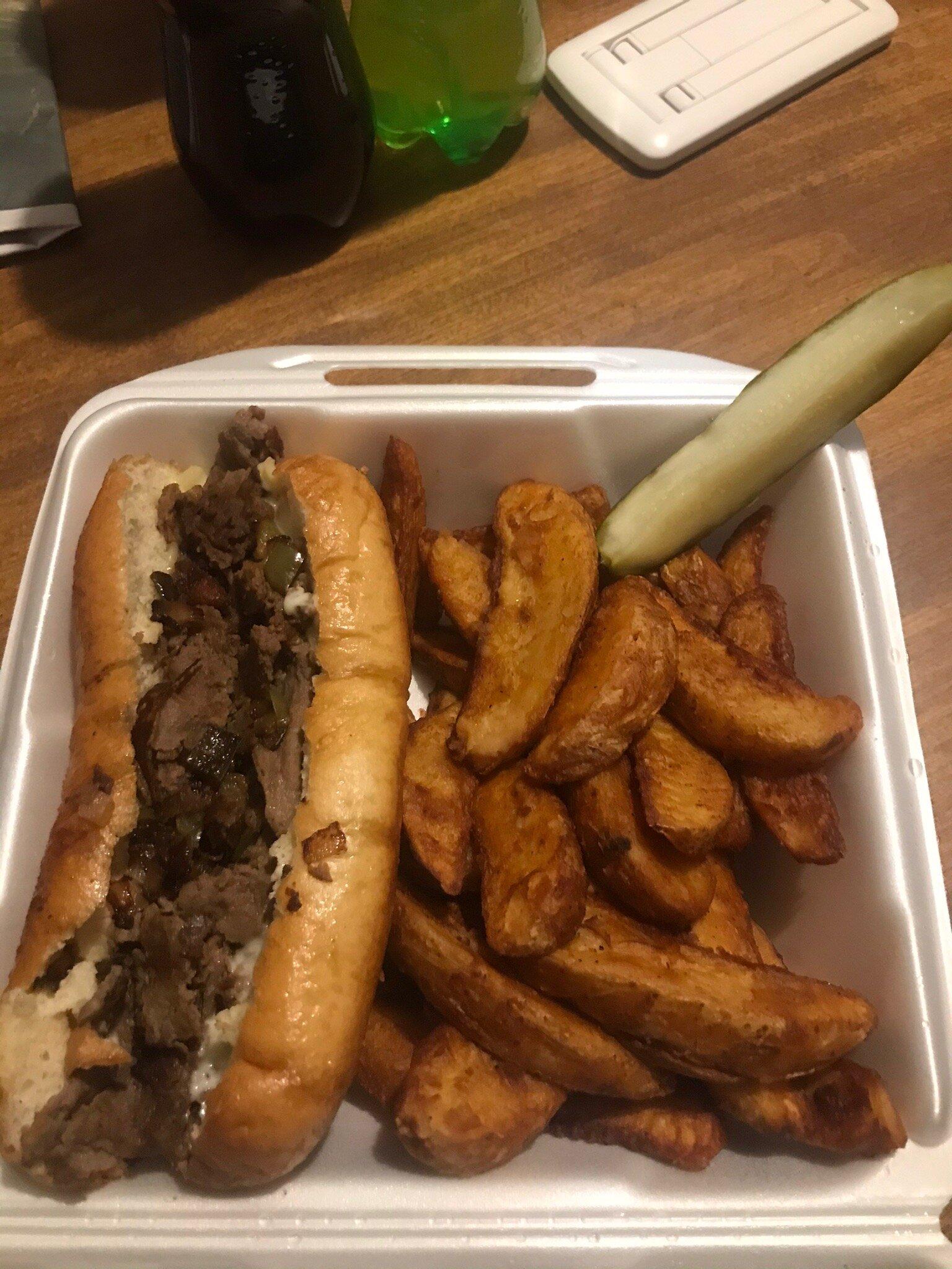
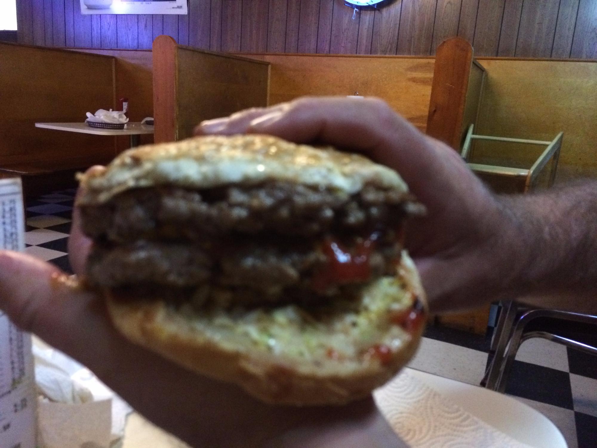
Dine and drink
Eat and drink your way through town.

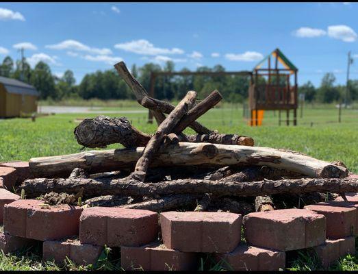
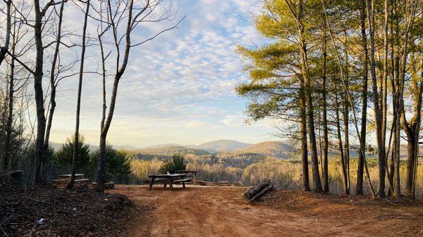
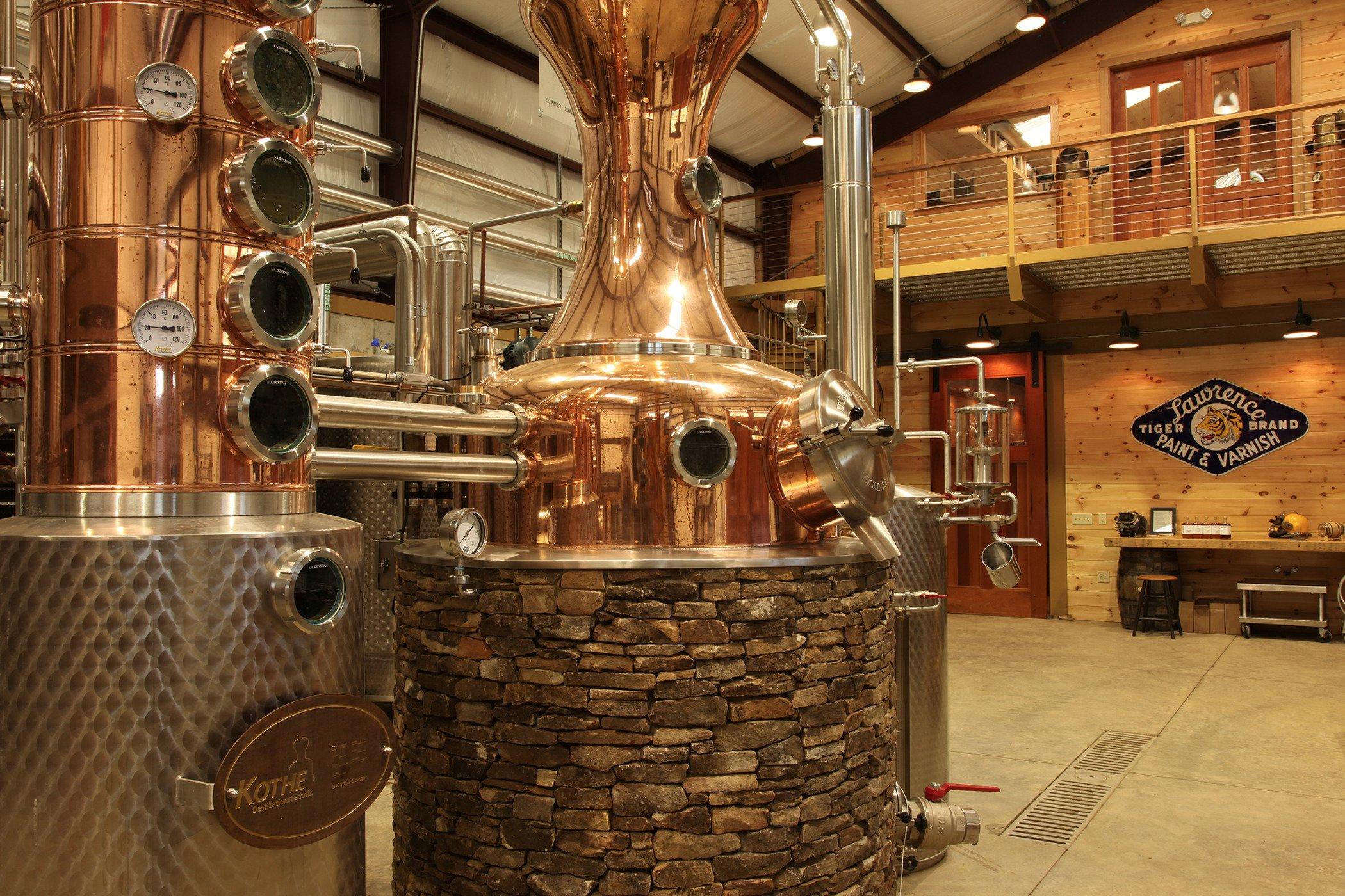
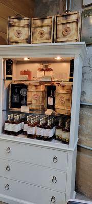
Can't-miss activities
Culture, natural beauty, and plain old fun.


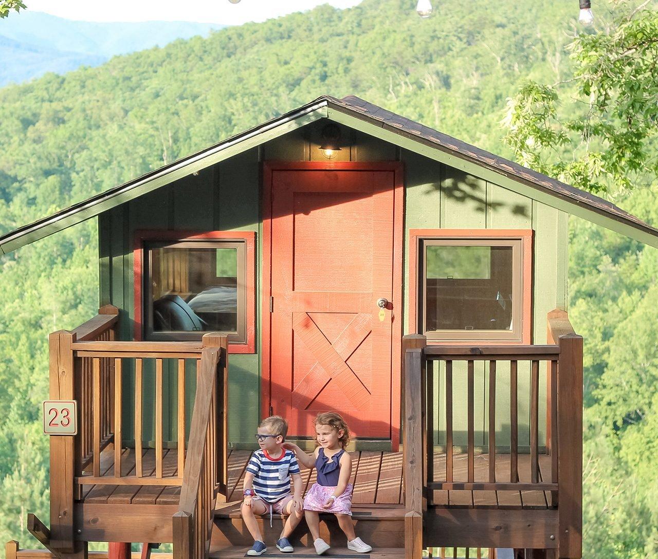
Places to stay
Hang your (vacation) hat in a place that’s just your style.