Cape Carteret, NC
Cape Carteret, NC Map
Cape Carteret is a US city in Carteret County in the state of North Carolina. Located at the longitude and latitude of -77.059200, 34.694400 and situated at an elevation of 8 meters. In the 2020 United States Census, Cape Carteret, NC had a population of 2,224 people. Cape Carteret is in the Eastern Standard Time timezone at Coordinated Universal Time (UTC) -5. Find directions to Cape Carteret, NC, browse local businesses, landmarks, get current traffic estimates, road conditions, and more.
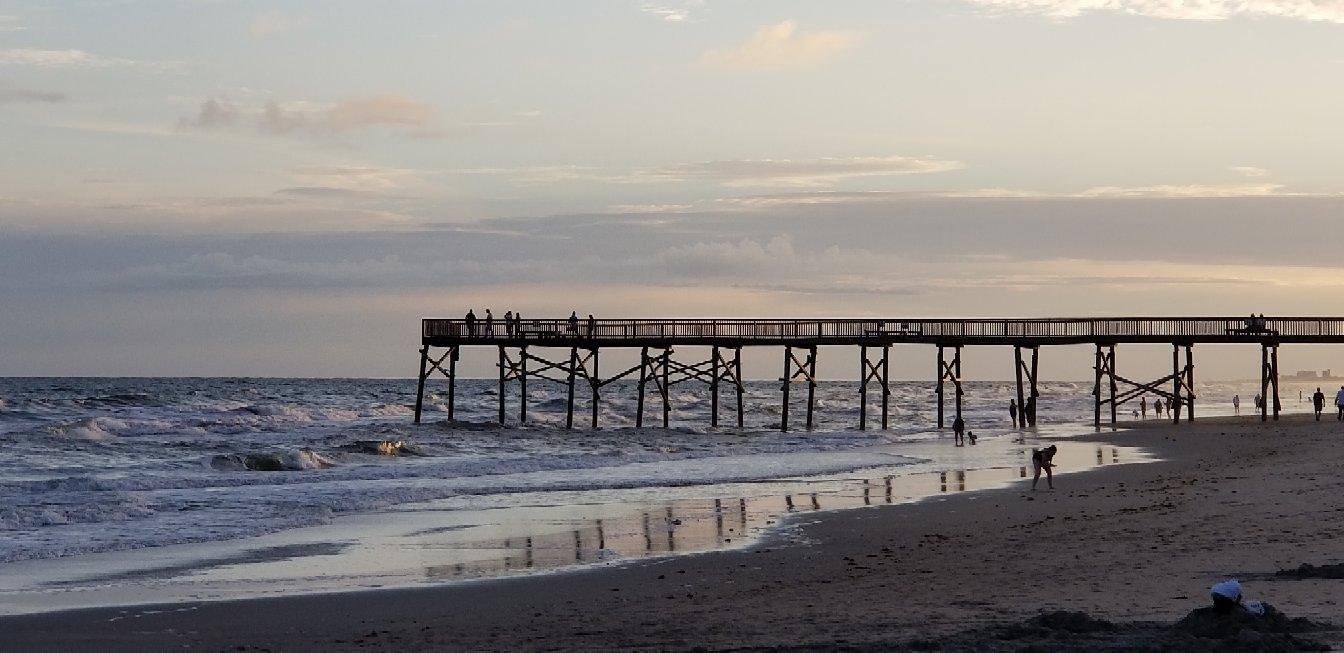
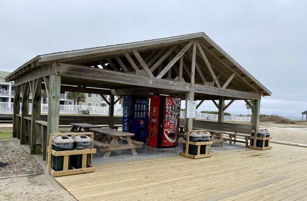
Cape Carteret, located in North Carolina, is a small town known for its serene coastal charm and access to outdoor recreational activities. It serves as a gateway to the Crystal Coast, offering visitors a tranquil escape with its close proximity to the Bogue Sound and the Atlantic Ocean. The town is particularly popular for its golf courses, with the Star Hill Golf Club being a notable highlight. This 27-hole course offers a challenging yet enjoyable experience for golf enthusiasts amidst picturesque landscapes.
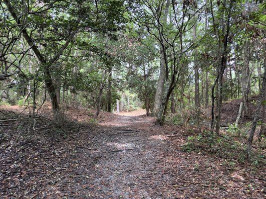
In addition to golf, Cape Carteret is known for its natural beauty and opportunities for water-based activities. The nearby waterways provide excellent conditions for boating, fishing, and kayaking. The town's history is relatively modern, with development primarily taking place in the mid-20th century as the area became more accessible and attractive for residential and recreational purposes. While it may not boast a rich historical tapestry, Cape Carteret's appeal lies in its peaceful environment and the outdoor lifestyle it offers to both residents and visitors alike.
Nearby cities include: Bogue, NC, Cedar Point, NC, Peletier, NC, Emerald Isle, NC, Swansboro, NC, Indian Beach, NC, Newport, NC, Pine Knoll Shores, NC, Havelock, NC, Maysville, NC.
Places in Cape Carteret
Dine and drink
Eat and drink your way through town.


Can't-miss activities
Culture, natural beauty, and plain old fun.

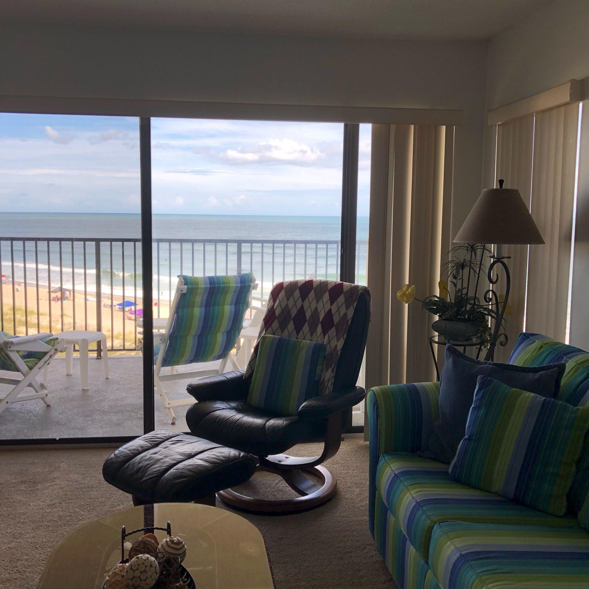
Places to stay
Hang your (vacation) hat in a place that’s just your style.