


Weed, NM
Weed, NM 88354
Weed Map
Weed is an unincorporated community in Otero County in southern New Mexico, USA. It lies alongside NM Route 24 on the eastern slopes of the Sacramento Mountains at an elevation of 7,047 ft. It has had a Post Office since 1885.
Founded in 1884 by George and Elizabeth Lewis. It was named after William H. Weed, who opened a branch store there.
Alamogordo
Nearby cities include Cloudcroft, Timberon, Mayhill.
Places in Weed
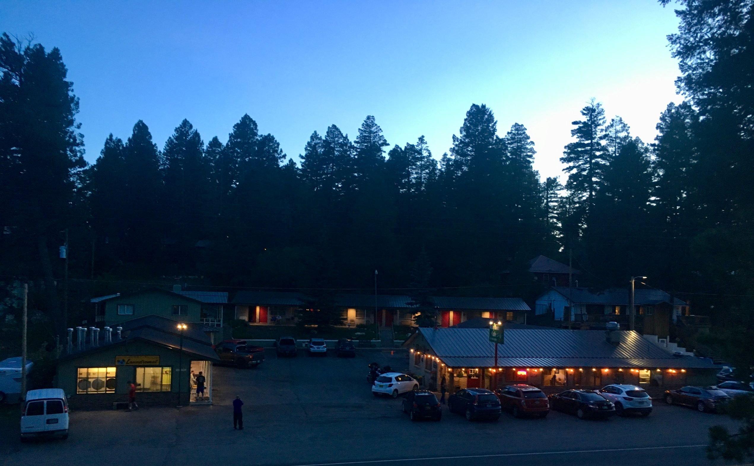
Dine and drink
Eat and drink your way through town.


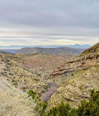
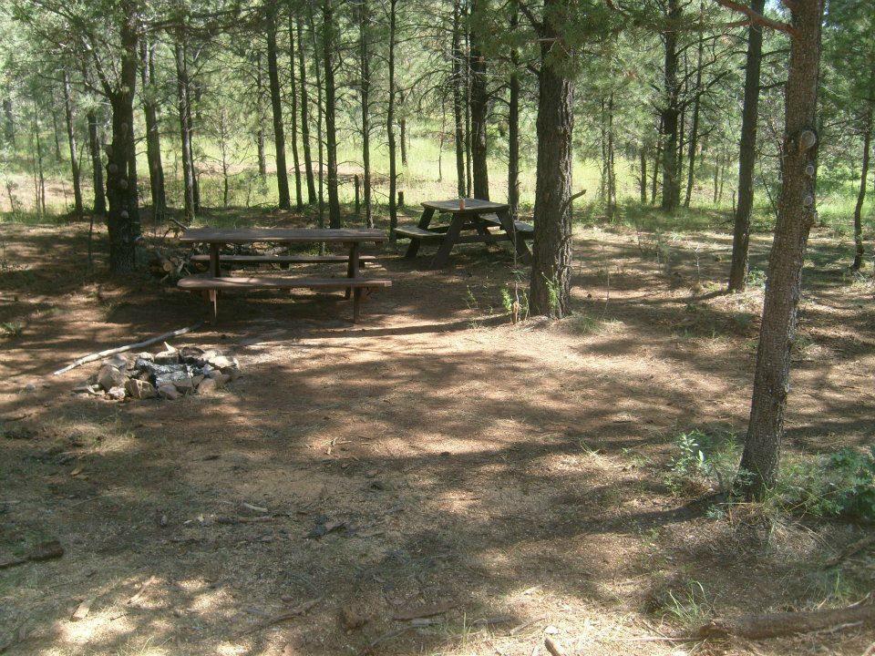
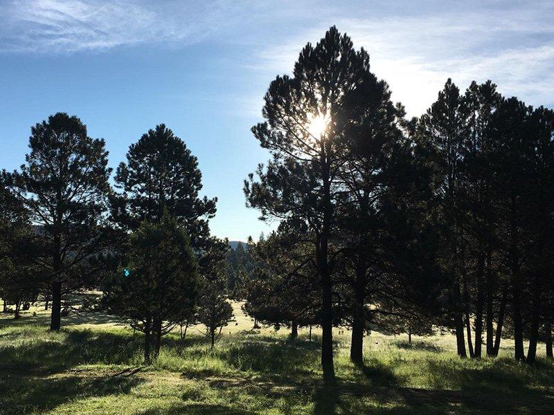
Can't-miss activities
Culture, natural beauty, and plain old fun.


Places to stay
Hang your (vacation) hat in a place that’s just your style.

See a problem?