Dover, NJ
Dover Map
Dover is a Town in Morris County, New Jersey on the Rockaway River. Dover is 39 miles (63 km) west of New York City and 29 miles (47 km) west of Newark, New Jersey. As of the United States Census, 2000, the town's population was 18,188.
Dover is located at 40°53?09?N 74°33?30?W / 40.885899°N 74.558241°W / 40.885899; -74.558241 (40.885899, -74.558241).
According to the United States Census Bureau, the town has a total area of 2.7 square miles (7.0 km2), of which, 2.7 square miles (6.9 km2) of it is land and 0.04 square miles (0.1 km2) of it (1.11%) is water.
Nearby cities include Wharton, Chester, Florham Park, Bernardsville, Madison.
Places in Dover
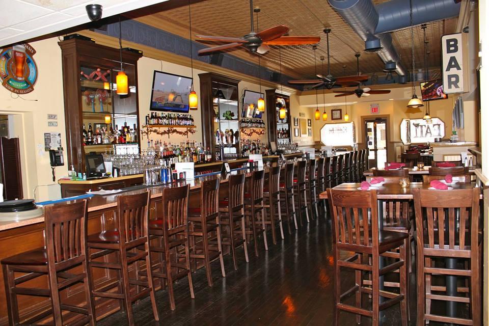
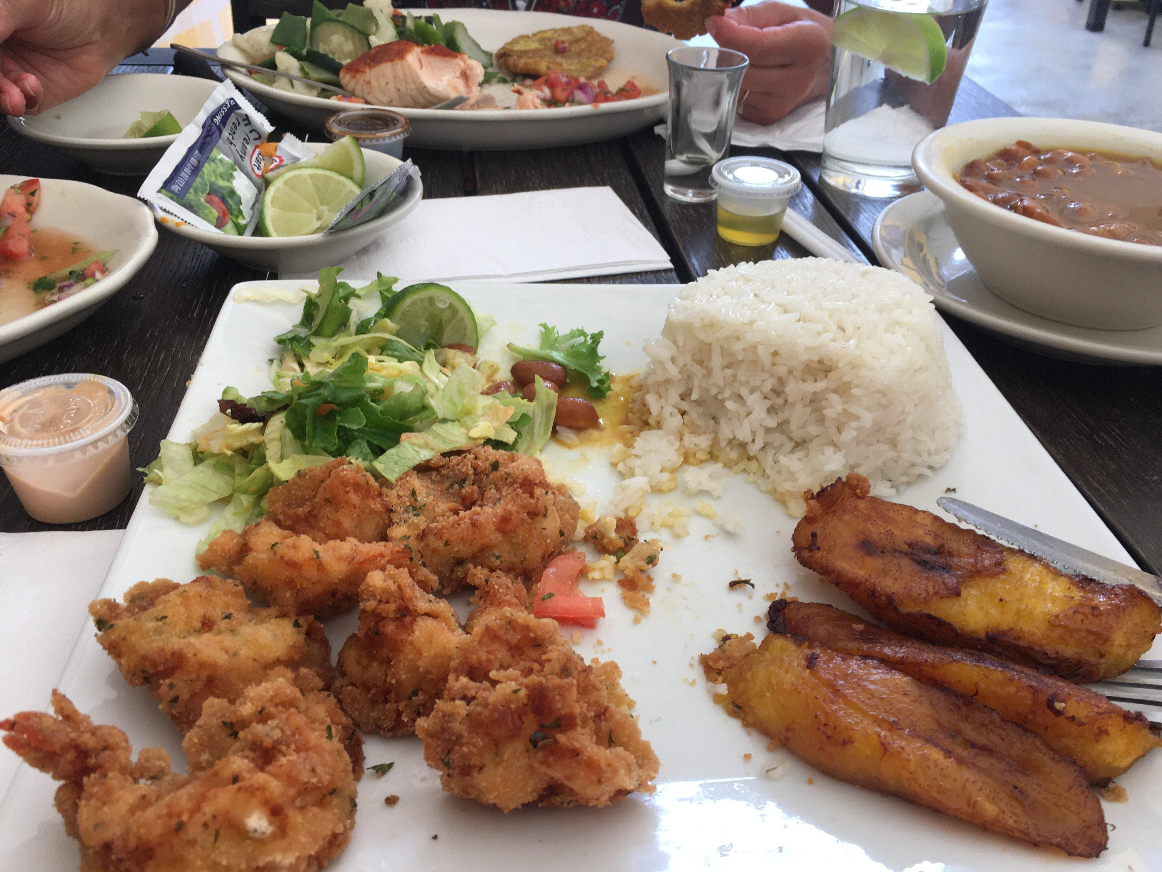
Dine and drink
Eat and drink your way through town.


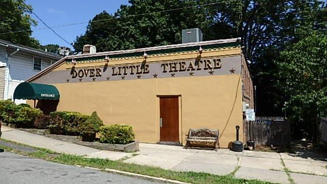
Can't-miss activities
Culture, natural beauty, and plain old fun.


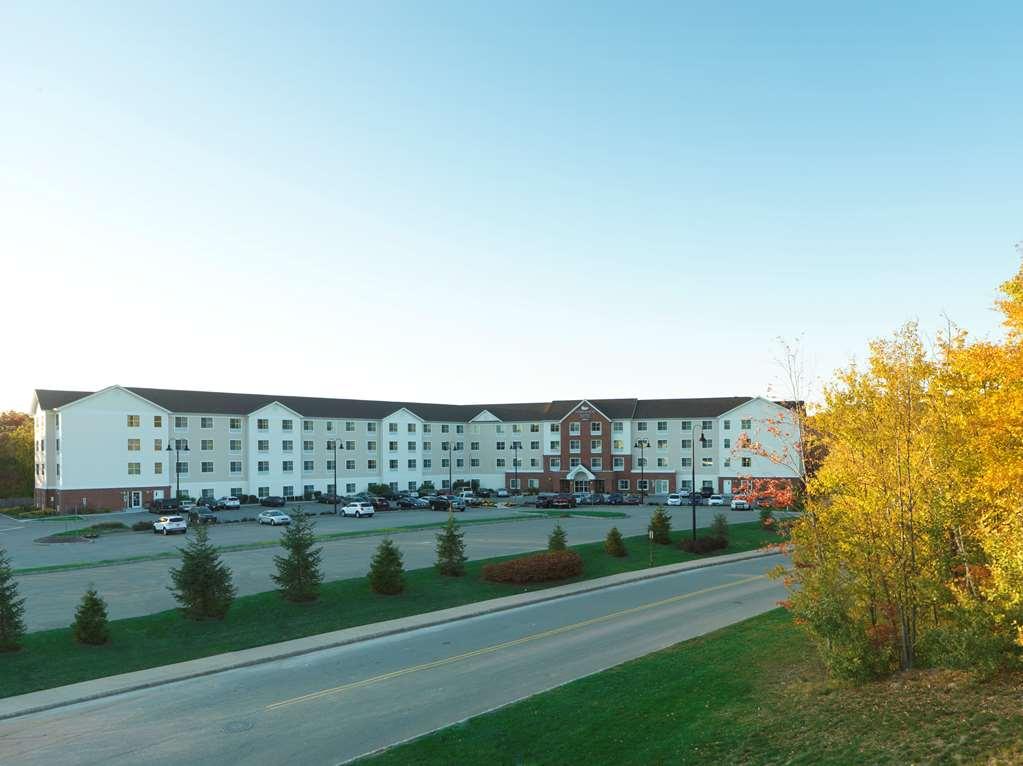
Places to stay
Hang your (vacation) hat in a place that’s just your style.