Verdi, NV
Verdi Map
Verdi-Mogul is a census-designated place (CDP) in Washoe County, Nevada, United States. It lies on the western side of the Reno–Sparks Metropolitan Statistical Area, just off Interstate 80. The population was 2,949 at the 2000 census.
Verdi-Mogul is located at 39°30?52?N 119°57?26?W / 39.51444°N 119.95722°W / 39.51444; -119.95722 (39.514409, -119.957145). It lies at the western border of Nevada, adjacent to the California state line at the 120th meridian west.
According to the United States Census Bureau, the CDP has a total area of 24.2 square miles (62.6 km²), of which, 24.1 square miles (62.4 km²) of it is land and 0.1 square miles (0.2 km²) of it (0.37%) is water.
Nearby cities include Sun Valley, Sparks, Truckee, Loyalton, Incline Village.
Places in Verdi
Dine and drink
Eat and drink your way through town.


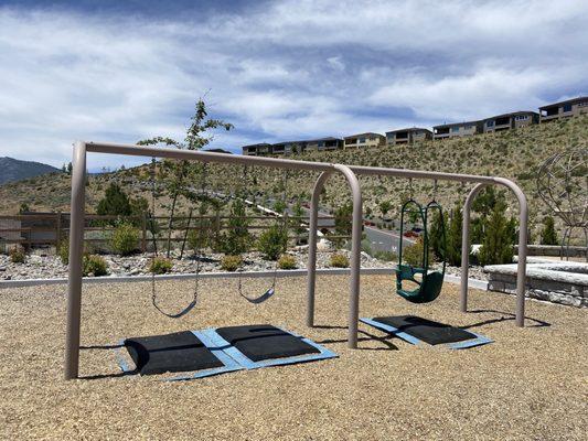
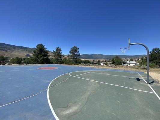
Can't-miss activities
Culture, natural beauty, and plain old fun.
Places to stay
Hang your (vacation) hat in a place that’s just your style.