


Roseland, NE
Roseland, NE 68973
Roseland Map
Roseland is a village in Adams County, Nebraska, United States. The population was 242 at the 2000 census. It is part of the Hastings, Nebraska Micropolitan Statistical Area.
Roseland is located at 40°28?15?N 98°33?30?W / 40.47083°N 98.55833°W / 40.47083; -98.55833 (40.470929, -98.558265).
According to the United States Census Bureau, the village has a total area of 0.2 square miles (0.6 km²), all of it land.
Nearby cities include Bladen, Blue Hill, Kenesaw, Hastings, Campbell.
Places in Roseland
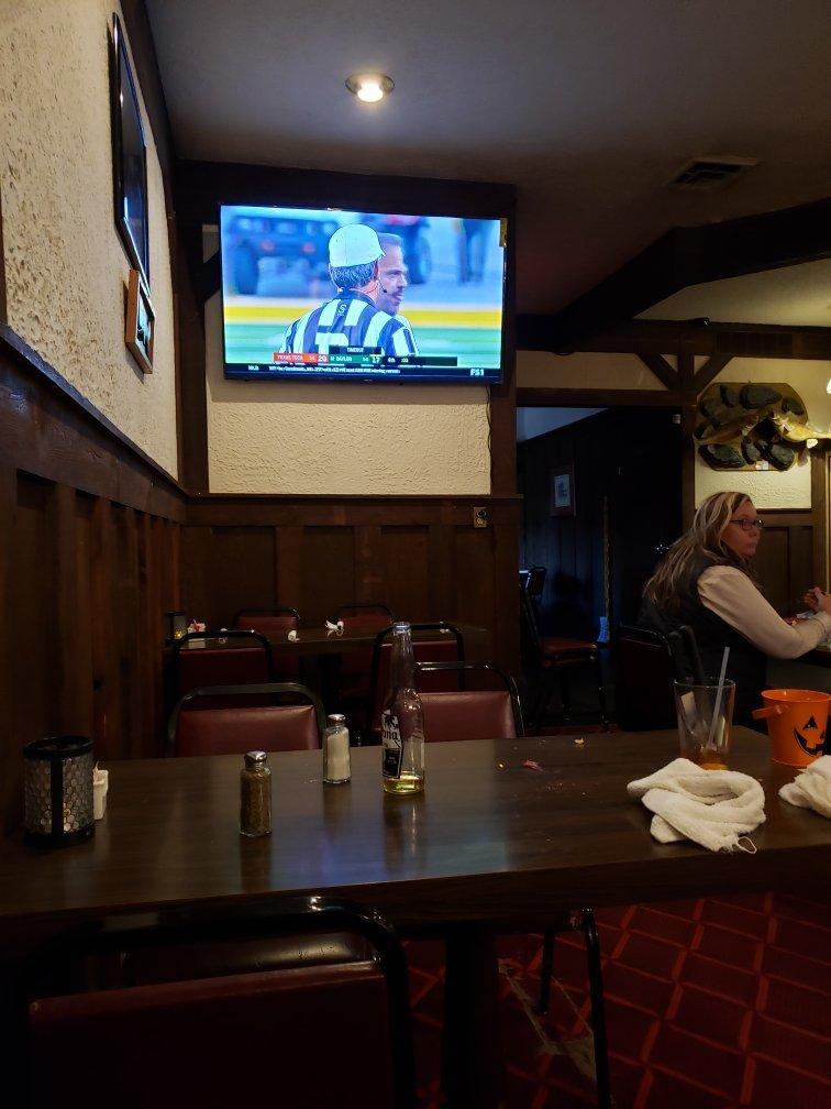
Dine and drink
Eat and drink your way through town.


Can't-miss activities
Culture, natural beauty, and plain old fun.


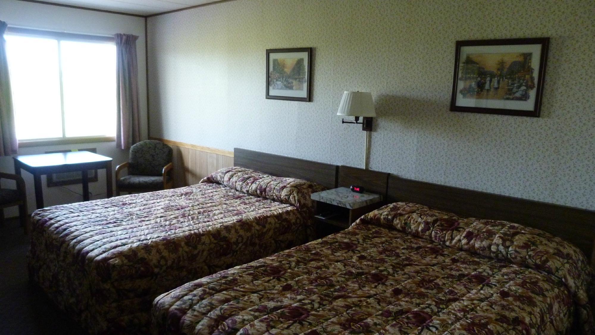
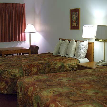
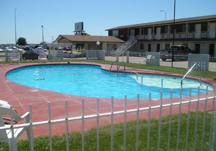
Places to stay
Hang your (vacation) hat in a place that’s just your style.
See a problem?