Ames, NE
Ames Map
Ames is an unincorporated community in southern Dodge County, Nebraska, United States. It lies along U.S. Route 30 west of the city of Fremont, the county seat of Dodge County. Its elevation is 1,227 feet (374 m), and it is located at about 41°27?8?N 96°37?30?W / 41.45222°N 96.625°W / 41.45222; -96.625 (41.4523625, -96.6251658). The community was named after an official of the Union Pacific Railroad, likely Oakes Ames. Although Ames is unincorporated, it has a post office, with the ZIP code of 68621.
Fremont - Hooper - North Bend - Scribner
Dodge - Inglewood - Nickerson - Snyder - Uehling - Winslow
Nearby cities include Colon, Hooper, Prague, Malmo, Arlington.
Places in Ames
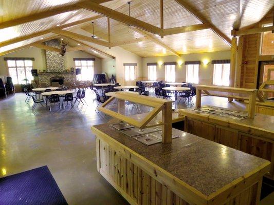
Dine and drink
Eat and drink your way through town.


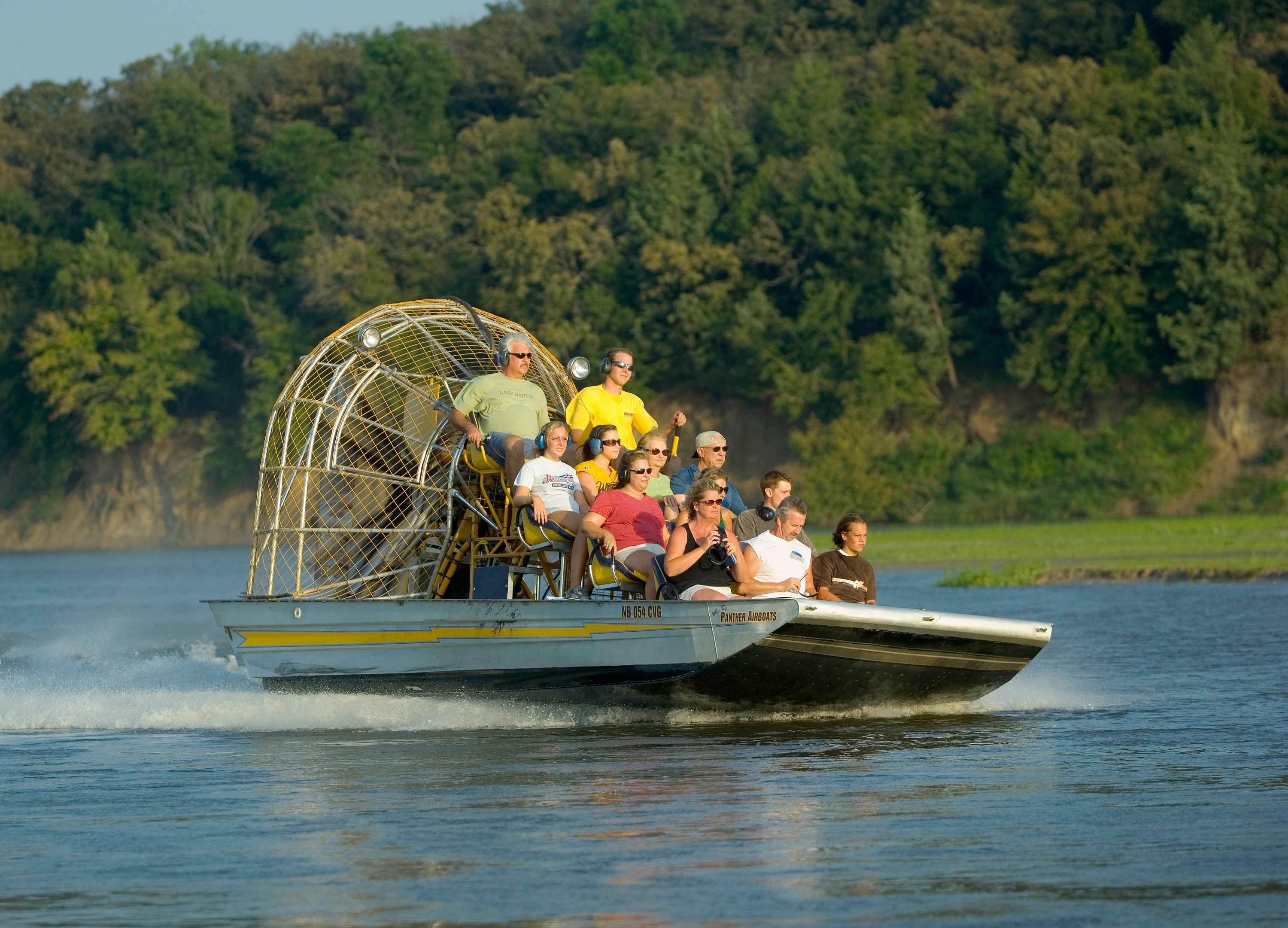
Can't-miss activities
Culture, natural beauty, and plain old fun.


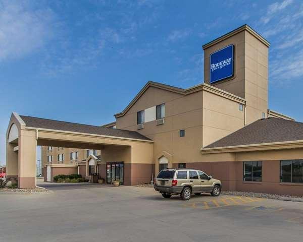
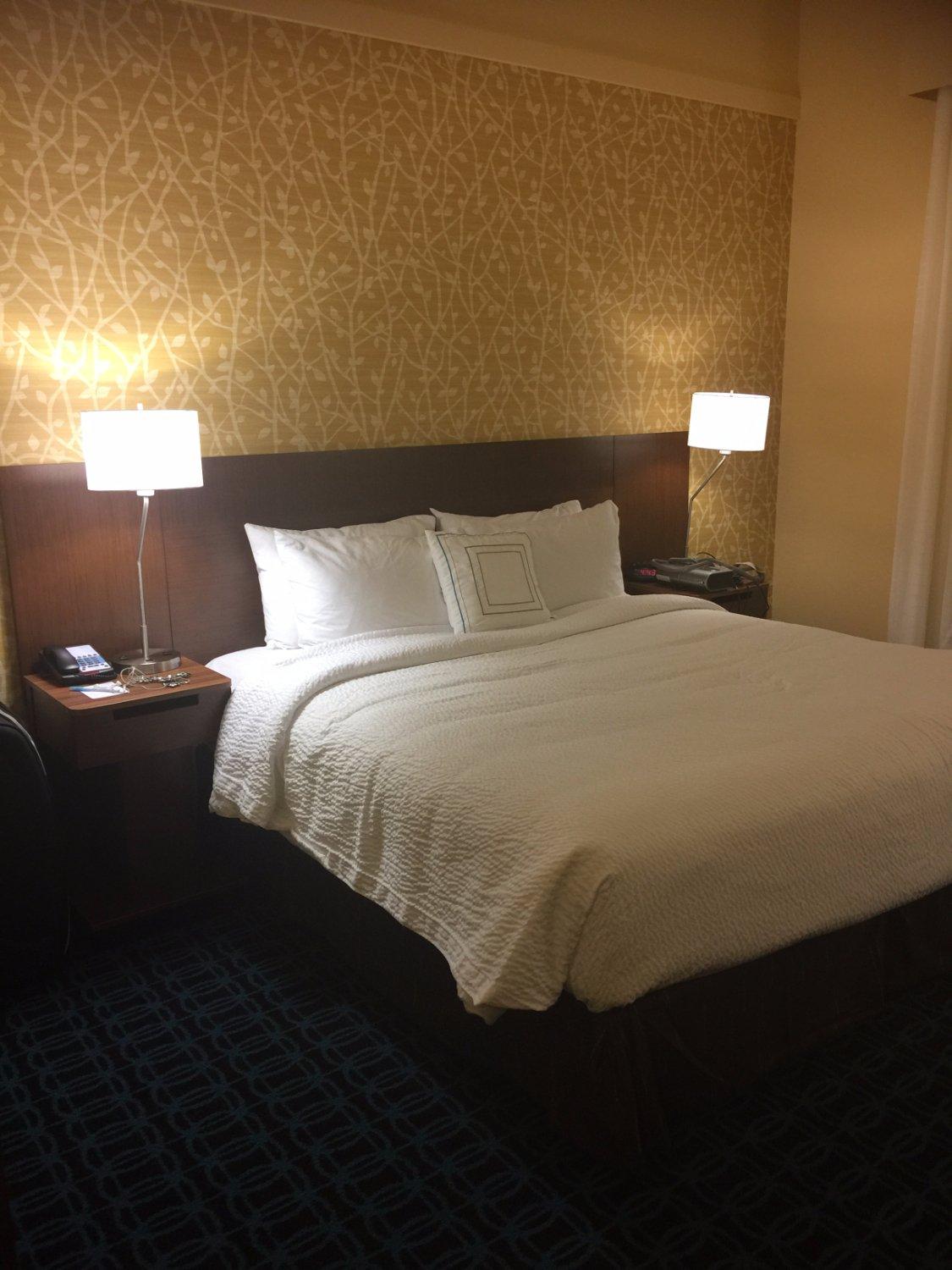
Places to stay
Hang your (vacation) hat in a place that’s just your style.