Ulm, MT
Ulm Map
Ulm is a census-designated place (CDP) in Cascade County, Montana, United States. It was originally a large ranch owned by Indiana-born cattleman William Ulm. The population was 750 at the 2000 census. It is part of the 'Great Falls, Montana Metropolitan Statistical Area'.
Ulm is located at 47°25?43?N 111°30?36?W / 47.42861°N 111.51°W / 47.42861; -111.51 (47.428684, -111.510044).
According to the United States Census Bureau, the CDP has a total area of 20.8 square miles (53.8 km²), of which, 20.1 square miles (52.0 km²) of it is land and 0.7 square miles (1.8 km²) of it (3.42%) is water.
Nearby cities include Great Falls, Sun River, Black Eagle, Cascade, Fort Shaw.
Places in Ulm
Dine and drink
Eat and drink your way through town.


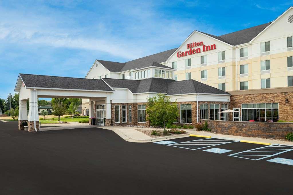
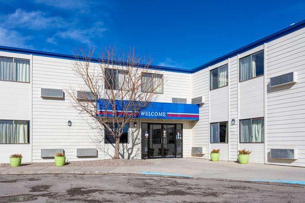
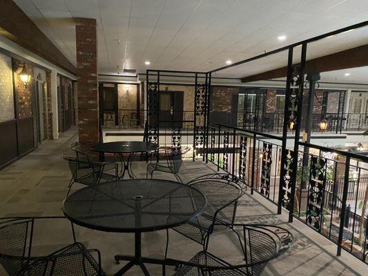
Places to stay
Hang your (vacation) hat in a place that’s just your style.